Browse / Slovakia / Banská Bystrica / Poltár
Poltár
Banská Bystricatown

Poltár
Total population
5,836
Founded
1330
Demographic figures from Statistical Office of Slovakia. Overview below cites Wikipedia and may reference a different year.
City facts
Facts from Wikidata (CC0).
Overview
Poltár is a town and municipality in the Poltár District in the Banská Bystrica Region of Slovakia.
Read more on WikipediaHistory & geography
History
There were historical Slavic remains of ancient housing, probably from the 7th century. After that remains of small medieval castle are part of Poltár's history, found in the general area and in the town part of Kostolisko (Literally meaning "Place of Church") there are remains of romancatholic church. Poltár was first mentioned in 1246 as silva Polta. Some other names are Nagpolthar, Felsupolthar, Kyspoltar, Varalyapolthar (1409) and Polthar (1439). In the 16th century the town was divided into Horný Poltár and Dolný Poltár. In the same general time, it was occupied by the Ottomans (between 1554 and 1593). In the year 1828 there were only mere 83 houses and 56 citizens. In the same timeframe, the town of Poltár was very agricultural, which wasn't profitable for the town. From 1869 and onwards, the factory of Barratt-Dragon was built, with its primary focus being the creation of bricks and tiles. Before the establishment of independent Czechoslovakia in 1918, Poltár was part of Nógrád County within the Kingdom of Hungary. From 1939 to 1945, it was part of the Slovak Republic. From 1922, a steam sawmill was built, but burnt down fourteen years later in 1936. The citizens of Poltár were also very active in the Slovak National Uprising. In the year 1966 Poltár joins the towns of Slaná lehota and Zelené, receiving the city privileges. Podháj - built during the late medieval era by the Sóós family. It was destroyed during the Ottoman occupation during 1554-1562. It was rebuilt around the 17th century, but only as a small village. Prievrana - built during the late medieval era. It was destroyed during the multiple military actions in the area roughly around 1610. It was rebuilt in the 17th century, only as a small village. Its other names (mainly Hungarian) were…
Geography
The town is located in the Southern Slovak basin near the river Ipeľ, south of the Revúcka Hills, which is part of the Slovak Ore Mountains, around from Lučenec.
Excerpted from the corresponding Wikipedia article (CC BY-SA).
Geography
Coordinates & boundaries from the US Census TIGER/Line shapefiles.
Climate
Air quality
Walkability
Amenities nearby
Wildlife & biodiversity
Most-observed species
- HornbeamCarpinus betulus L. · Magnoliopsida396
- MallardAnas platyrhynchos Linnaeus, 1758 · Aves375
- Gray/Purple HeronArdea cinerea Linnaeus, 1758 · Aves362
- BeechFagus sylvatica L. · Magnoliopsida335
- Common BuzzardButeo buteo (Linnaeus, 1758) · Aves324
- Great TitParus major Linnaeus, 1758 · Aves284
- Turkey OakQuercus cerris L. · Magnoliopsida239
- Eurasian MagpiePica pica (Linnaeus, 1758) · Aves238
Citizen-science & research observations from the Global Biodiversity Information Facility (GBIF).
Earthquake history
Most recent
- M 4 — 2014-01-194 km ESE of Balassagyarmat, Hungary
- M 4.1 — 2013-06-054 km NE of Érsekvadkert, Hungary
- M 4.4 — 2013-04-225 km WNW of Heves, Hungary
- M 2.9 — 2007-11-186 km SSE of Rimóc, Hungary
- M 3.1 — 2006-06-2510 km S of Bukowina Tatrza?ska, Poland
- M 3.5 — 2004-09-2312 km NNW of Dudince, Slovakia
Events from the USGS Earthquake Catalog (global) (FDSN Event Web Service).
Photos
Sights & places nearby
Notable people from here


People born within ~10 km, from Wikidata (CC0). Click any name for their Wikipedia article.
Nearby places in Banská Bystrica
- Breznička2.6 mi away · pop. 795
- Hrnčiarska Ves3.1 mi away · pop. 991
- České Brezovo3.5 mi away · pop. 505
- Selce4.3 mi away · pop. 104
- Pinciná5.2 mi away · pop. 247
- Hradište5.3 mi away · pop. 275
- Zlatno6.1 mi away · pop. 500
- Veľká Ves6.4 mi away · pop. 413
- Boľkovce6.6 mi away · pop. 653
- Točnica7 mi away · pop. 318
- Kociha7.7 mi away · pop. 210
- Lehota nad Rimavicou7.8 mi away · pop. 306
Geography & sun
Elevation, sunrise/sunset and daylight from Open-Meteo. Solar climatology from NASA POWER.
Nearby airports
Public attention
Pageview totals from the Wikimedia Pageviews API.
Books about this place
Recent natural events nearby
Ground air-quality sensors
Recently spotted species
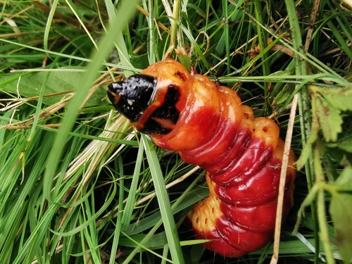
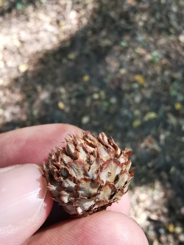
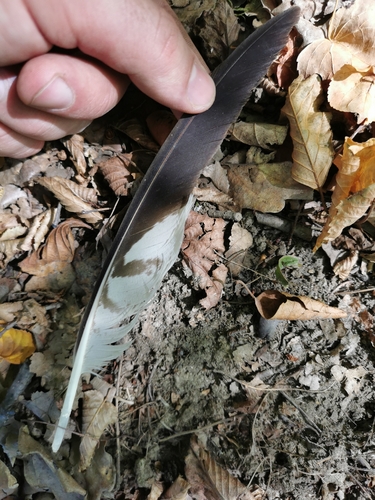
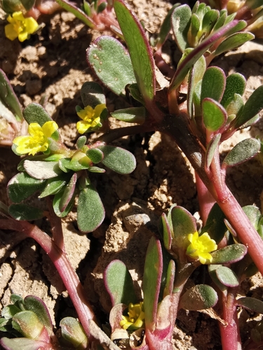
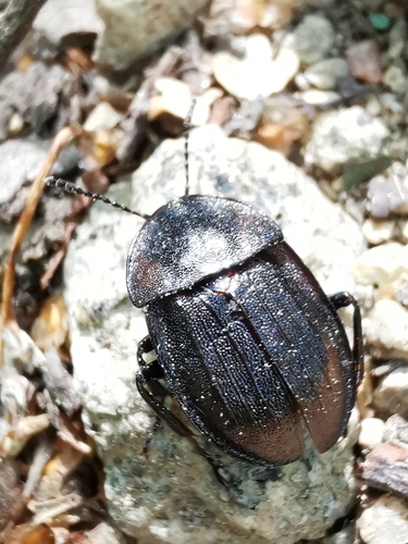
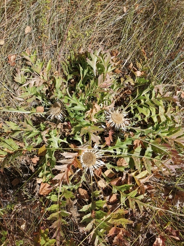
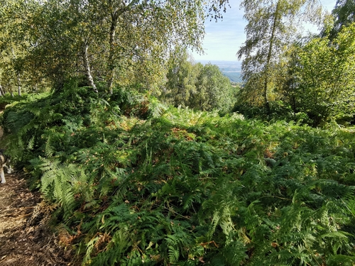
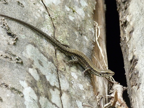
Research-grade observations from iNaturalist (within ~15 mi).
Events
Gallery
Sources
- • Wikipedia
- • Wikidata
- • USGS Earthquake Catalog (global feed)
- • GBIF (Global Biodiversity Information Facility)
- • iNaturalist
- • Open-Elevation
- • Open-Meteo / sunrise-sunset.org
- • Wikipedia Pageviews API