Browse / Slovakia / Prešov / Poprad
Poprad
Prešovtown

Poprad
Total population
54,931
Founded
1250
Demographic figures from Statistical Office of Slovakia. Overview below cites Wikipedia and may reference a different year.
City facts
Sister cities
Facts from Wikidata (CC0).
Overview
Poprad is a city in northern Slovakia at the foot of the High Tatra Mountains, famous for its picturesque historic centre and as a holiday resort. The largest town of the Spiš region and the largest of all towns in the vicinity of the High Tatra Mountains in both Slovakia and Poland, Poprad is the tenth largest city in Slovakia, with a population of approximately 50,000.
Read more on WikipediaHistory & geography
History
The territory was inhabited by Slavic settlers since the Migration Period. The first written record dates from 16 March 1256 in the deed of donation of the Hungarian King Bela IV. After the Mongol invasions in the 13th century it was colonized by German settlers and became the largely German town Deutschendorf meaning 'Germans' village'. From 1412 to 1770, as one of the Spis towns, Poprad was pawned by the Kingdom of Hungary to the Kingdom of Poland, resulting in a strong Polish influence on the city's further development. In the 17th century, the number of Germans began to decline. Since 1918, this territory has been placed under the control of Czechoslovakia. Poprad itself was for 690 years (up until 1946) just one of several neighbouring settlements, which currently make up the modern city. The other parts of the current municipality are Matejovce (German: Matzdorf; Hungarian: Mateóc, first reference 1251), Spišská Sobota (German: Georgenberg; Hungarian: Szepesszombat, 1256), Veľká (German/Hungarian: Felka, 1268), and Stráže pod Tatrami (German: Michelsdorf; Hungarian: Strázsa, 1276). The most significant of these original towns was Georgenberg, now Spišská Sobota, which preserved its dominant position in the area until the late 19th century. Poprad gained importance at the expense of Spišská Sobota after the construction of the Košice–Bohumín Railway in 1871. In the following years, further railway lines were built: Poprad - Kežmarok in 1892 and Tatra Electric Railway in 1908. In 1942, during World War II, most of the transports of Jews to ghettos and concentration camps in German-occupied Poland were sent from the Poprad railway station. The first transport of about 1,000 Jewish girls and young women left Poprad on 25 March 1942 for Auschwitz-Birkenau. By the…
Excerpted from the corresponding Wikipedia article (CC BY-SA).
Geography
Coordinates & boundaries from the US Census TIGER/Line shapefiles.
Climate
Air quality
Walkability
Amenities nearby
Wildlife & biodiversity
Earthquake history
Photos
Sights & places nearby
Notable people from here
Nearby places in Prešov
- Hranovnica4.6 mi away · pop. 2,689
- Žakovce4.9 mi away · pop. 782
- Gerlachov5.1 mi away · pop. 813
- Kravany5.8 mi away · pop. 829
- Jánovce6.6 mi away · pop. 1,247
- Abrahámovce6.6 mi away
- Ľubica8.2 mi away · pop. 4,032
- Kežmarok8.3 mi away · pop. 17,013
- Dravce8.8 mi away · pop. 769
- Vlkovce9.1 mi away · pop. 458
- Hradisko10.2 mi away · pop. 102
- Spišská Belá11.7 mi away · pop. 6,265
Geography & sun
Elevation, sunrise/sunset and daylight from Open-Meteo. Solar climatology from NASA POWER.
Nearby airports
Public attention
Pageview totals from the Wikimedia Pageviews API.
Books about this place
Recent natural events nearby
Ground air-quality sensors
Recently spotted species







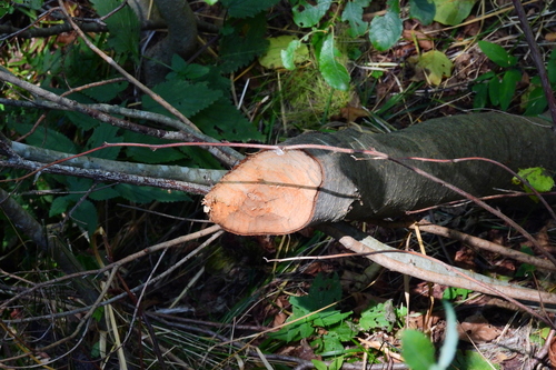
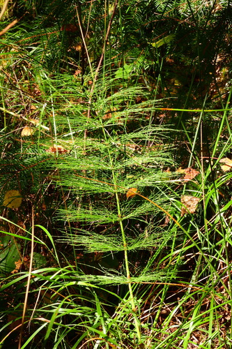
Research-grade observations from iNaturalist (within ~15 mi).
Events
Gallery
Sources
- • Wikipedia
- • Wikidata
- • iNaturalist
- • Open-Meteo / sunrise-sunset.org
- • Wikipedia Pageviews API