Browse / Slovakia / Trenčín / Považská Bystrica
Považská Bystrica
Trenčíntown

Považská Bystrica
Total population
41,936
Demographic figures from Statistical Office of Slovakia. Overview below cites Wikipedia and may reference a different year.
City facts
Overview
Považská Bystrica is a town in northwestern Slovakia. It is located on the Váh river, around 30 km from the city of Žilina. It belongs to Upper Váh Region.
Read more on WikipediaHistory & geography
History
The roots of the settlement of the town connect to Baden culture, in addition to Celtic coins were found on the castle cliff supporting the presence of previous settlers. However, the first written reference to the town comes from 1316, in connection with Matthew III Csák. The next known reference about Považská Bystrica is dated 13 July 1330. In 1432, the town was burned by Hussite troops. The history of the town is very closely connected with the nearby Považský hrad castle, built in the 13th century. The most famous owners of the Bystrica castle and the land were knights Ján and Rafael Podmanitzky, known for their robberies. The family of Podmanicki became rulers of the town in 1458 when King Matthias Corvinus of Hungary donated the castle, the town, and 16 surrounding villages to Ladislav Podmanitzky. During their reign, which lasted almost 100 years, the town was flourishing. This was supported by an important document, the Articuli Podmanickyani, which stated the statute of the town and established old Slovak language as the only official language among congildones. No other town, except Považská Bystrica and Varín, had a statute with such provision regarding language use. As an example of the language could be used engraving on the tombstone of Rafael Podmanitzky in the Church of the Visitation of the Virgin Mary in Považská Bystrica. The next one hundred years were hard for the town and the region, because of upheavals of several Hungarian noblemen. The town was plundered by troops of Stephen Bocskai (1604), Emeric Thököly (1679), Bereczényi and Očkay (1707). Despite the hard times, the town obtained more and more privileges from Hungarian kings during the period, and it had a significantly higher status than the surrounding countryside. This ended in 1886,…
Excerpted from the corresponding Wikipedia article (CC BY-SA).
Geography
Coordinates & boundaries from the US Census TIGER/Line shapefiles.
Climate
Air quality
Walkability
Amenities nearby
Wildlife & biodiversity
Earthquake history
Photos
Sights & places nearby
Notable people from here


People born within ~10 km, from Wikidata (CC0). Click any name for their Wikipedia article.
Nearby places in Trenčín
- Sverepec2.9 mi away · pop. 1,073
- Záskalie3.5 mi away · pop. 182
- Horný Lieskov3.6 mi away · pop. 373
- Kostolec3.8 mi away · pop. 250
- Prečín4 mi away · pop. 1,396
- Udiča4.1 mi away · pop. 2,183
- Plevník-Drienové4.3 mi away · pop. 1,608
- Dolný Lieskov4.4 mi away · pop. 820
- Počarová4.4 mi away · pop. 147
- Jasenica4.4 mi away · pop. 1,037
- Nimnica4.5 mi away · pop. 688
- Slopná4.8 mi away · pop. 485
Geography & sun
Elevation, sunrise/sunset and daylight from Open-Meteo. Solar climatology from NASA POWER.
Nearby airports
Public attention
Pageview totals from the Wikimedia Pageviews API.
Books about this place
Recent natural events nearby
Ground air-quality sensors
Recently spotted species
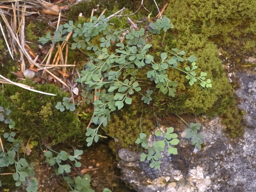
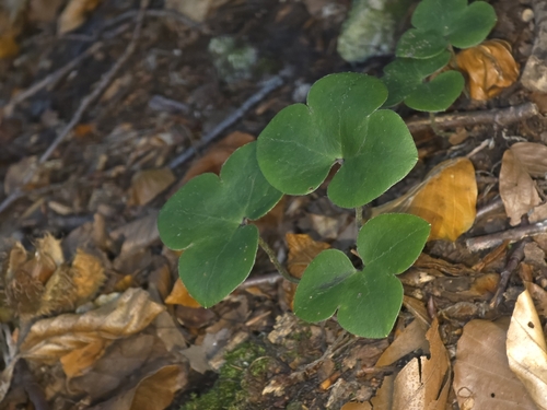
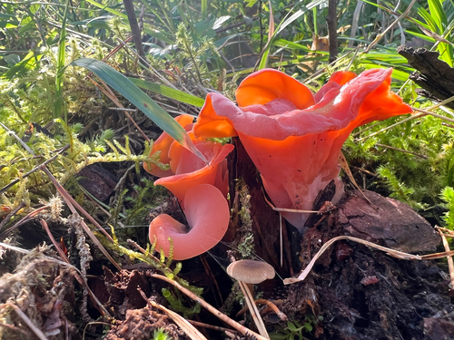
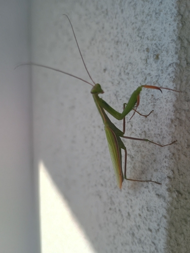

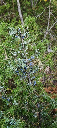
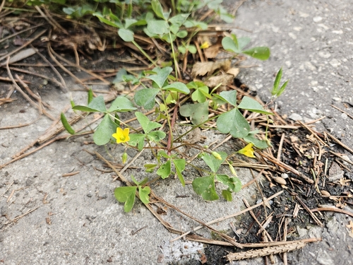
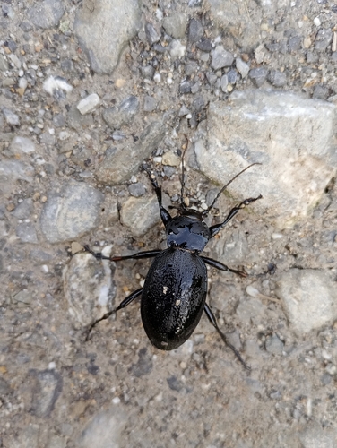
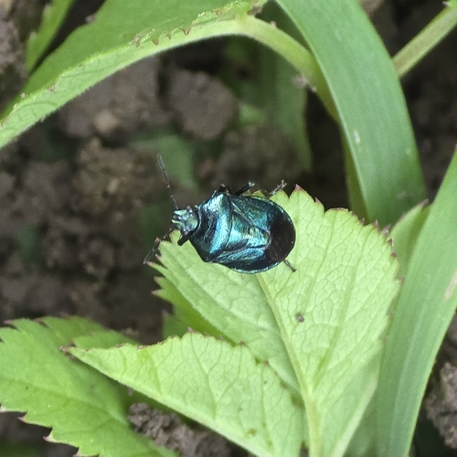
Research-grade observations from iNaturalist (within ~15 mi).
Events
Gallery
Sources
- • Wikipedia
- • Wikidata
- • iNaturalist
- • Open-Elevation
- • Open-Meteo / sunrise-sunset.org
- • Wikipedia Pageviews API