Browse / Slovakia / Trenčín / Prievidza
Prievidza
Trenčíntown

Prievidza
Total population
50,919
Founded
1113
Demographic figures from Statistical Office of Slovakia. Overview below cites Wikipedia and may reference a different year.
City facts
Sister cities
Facts from Wikidata (CC0).
Overview
Prievidza is a city in western Slovakia. With approximately 42,000 inhabitants it is the second biggest municipality in the Trenčín Region and 11th largest city in Slovakia generally.
Read more on WikipediaHistory & geography
History
The Upper Nitra Basin was inhabited as early as the middle of the Paleolithic period, as evidenced by the rich paleontological findings in Bojnice and Prievidza. Thousands of artifacts have been discovered, including stone tools, animal bone fossils and fireplace remnants. The first written mention of Prievidza was in 1113, as Preuigan. It was promoted to a royal free town in 1383, on 26 January. This meant that the town obtained privileges such as paying benefits to hold markets, choice of pastor and mayor, building mills, catching fish, the free development of crafts and sale of produce. From the 16th to the first third of the 17th century, the Thurzó family controlled the town. Ottomans approached Prievidza from the south and burned it in 1599, along with other towns in the upper Nitra river valley. In 1666, the Piarists built the baroque church (now known as the Piarist Church) and Monastery, which became a centre of culture and education. During the Kuruc uprising in 1673, Prievidza was burned down again, with fire burning a part of town's archives. In 1870, it had 2,719 inhabitants. Since the end of the 19th century and the beginning of the 20th century, industry started to grow, as the railways to Prievidza were constructed. During World War II, the city was one of the centres of partisans. On 4 April 1945, Prievidza was captured by troops of the Soviet 40th Army. Since the end of the war, the population has grown enormously from 5,000 inhabitants to around 53,000 inhabitants, as industry grew. Prievidza became the home of many miners and workers that found employment in the coal mines located in nearby village Cigeľ and towns Handlová and Nováky.
Geography
The city is near the smaller town of Bojnice, sharing a public transport system. The valley of the Nitra River, in which the city lies, is surrounded by mountain ranges on all sides, in the west Strážov Mountains, in the north Malá Fatra, in the east Žiar and in the south Vtáčnik. Prievidza is the eleventh largest city in Slovakia. It is located around south of Žilina, east of the regional capital Trenčín and from capital city of Slovakia Bratislava (by road).
Excerpted from the corresponding Wikipedia article (CC BY-SA).
Geography
Coordinates & boundaries from the US Census TIGER/Line shapefiles.
Climate
Air quality
Walkability
Amenities nearby
Wildlife & biodiversity
Most-observed species
- BeechFagus sylvatica L. · Magnoliopsida405
- Scots PinePinus sylvestris L. · Pinopsida198
- Norway SprucePicea abies (L.) H.Karst. · Pinopsida180
- Cypress SpurgeEuphorbia cyparissias L. · Magnoliopsida177
- Wild PrivetLigustrum vulgare L. · Magnoliopsida134
- Sycamore [tree]Acer pseudoplatanus L. · Magnoliopsida126
- HazelCorylus avellana L. · Magnoliopsida121
- Cornelian-cherryCornus mas L. · Magnoliopsida118
Citizen-science & research observations from the Global Biodiversity Information Facility (GBIF).
Earthquake history
Most recent
- M 2.8 — 2018-08-171 km ENE of Tren?ianske Teplice, Slovakia
- M 4 — 2014-01-194 km ESE of Balassagyarmat, Hungary
- M 4.1 — 2013-06-054 km NE of Érsekvadkert, Hungary
- M 2.5 — 2007-11-152 km N of Morávka, Czechia
- M 3.6 — 2006-03-135 km NNW of Leopoldov, Slovakia
- M 3.1 — 2006-03-093 km SSW of Tren?ianske Teplice, Slovakia
Events from the USGS Earthquake Catalog (global) (FDSN Event Web Service).
Photos
Sights & places nearby
Notable people from here


People born within ~10 km, from Wikidata (CC0). Click any name for their Wikipedia article.
Nearby places in Trenčín
- Bojnice2 mi away · pop. 4,951
- Opatovce nad Nitrou2.5 mi away · pop. 1,446
- Koš2.6 mi away · pop. 1,081
- Sebedražie2.9 mi away · pop. 1,734
- Lazany3.3 mi away · pop. 1,583
- Nedožery-Brezany3.3 mi away · pop. 2,072
- Veľká Čausa3.4 mi away · pop. 456
- Kanianka3.6 mi away · pop. 3,994
- Kocurany3.7 mi away · pop. 422
- Malá Čausa4 mi away · pop. 648
- Cigeľ4 mi away · pop. 1,086
- Lipník4.1 mi away · pop. 461
Geography & sun
Elevation, sunrise/sunset and daylight from Open-Meteo. Solar climatology from NASA POWER.
Nearby airports
Public attention
Pageview totals from the Wikimedia Pageviews API.
Books about this place
Recent natural events nearby
Ground air-quality sensors
Recently spotted species
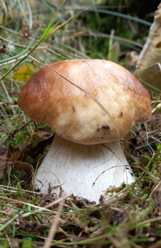
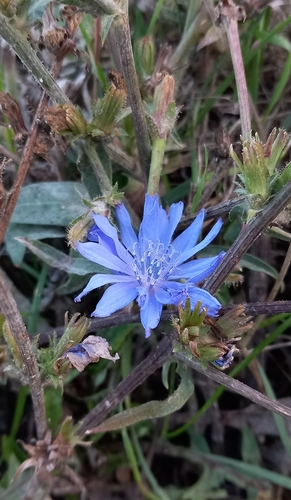

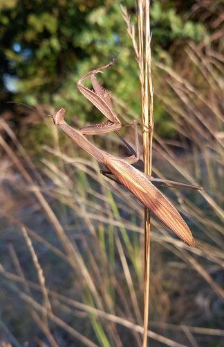
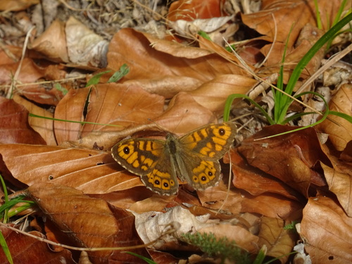
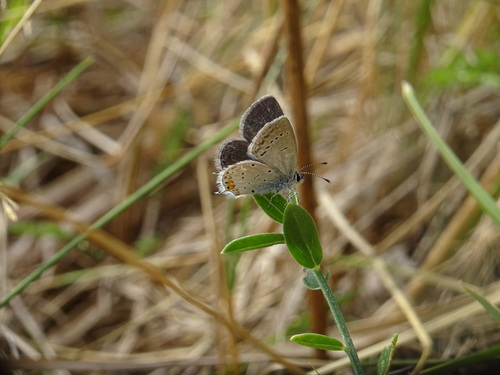
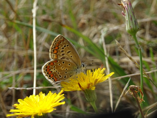
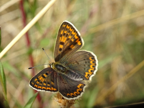
Research-grade observations from iNaturalist (within ~15 mi).
Events
Notable, recurring, and historical events associated with Prievidza, sourced from Wikidata.
- Dec 23, 2024
Source: Wikidata (CC0).
Gallery
Sources
- • Wikipedia
- • Wikidata
- • USGS Earthquake Catalog (global feed)
- • GBIF (Global Biodiversity Information Facility)
- • iNaturalist
- • Open-Elevation
- • Open-Meteo / sunrise-sunset.org
- • Wikipedia Pageviews API