Browse / Slovakia / Bratislava / Reca
Reca
Bratislavavillage

Reca
Total population
1,714
Founded
1256
Demographic figures from Statistical Office of Slovakia. Overview below cites Wikipedia and may reference a different year.
City facts
Facts from Wikidata (CC0).
Overview
Reca is a village and municipality in western Slovakia in Senec District in the Bratislava Region.
Read more on WikipediaHistory & geography
History
Pagan tomb-mounds excavated in an around Reca confirm the presence of Magyar mounted border guards from the 10th century. In historical records the village was first mentioned in 1256, and was part of the dominion of Matthias Csák, the magnate of Trencsén. Documents confirm that before Csak, during the reign of the early Árpád kings, the settlement was inhabited by castle warriors () and controlled by the Count of Pozsony. The castle warriors of Reca developed into landowning lower nobility and Reca was a characteristic curial village of Pozsony County until the mid-20th century. During the Counter-Reformation in the 16th and 17th centuries, Reca (or Réthe, as it was then known) became the shelter of Bohemian and Moravian Protestants after the Battle of the White Mountain, because the Reca gentry was not subject to Catholic Habsburg religious laws. An estimated five-sixths of the Bohemian nobility went into exile soon after the Battle of White Mountain, and their properties were confiscated. This period has left a Unity of the Brethren Chapel in the village, containing pieces of rare ecclesiastical plate. After the city of Skalica, Reca was one of the most significant locations in Royal Hungary for Czech exiles, with approximately 30 families settling there in the 17th century. In 1878 Reca briefly became known as Nemes Réte, in line with some other curial villages (e.g. Nemes Dedina. It also adopted a peculiar coat of arms consisting of the Royal arms of Hungary). The 1892 Directory of Hungarian Merchants (which covers roughly 10-15% of the working populace of the Hungarian part of Austria-Hungary) lists the heads of families in Reca engaged in trade. It mainly covers Jewish families living in Reca as craftsmen and shopkeepers, and heads of gentry families engaged…
Excerpted from the corresponding Wikipedia article (CC BY-SA).
Geography
Coordinates & boundaries from the US Census TIGER/Line shapefiles.
Climate
Air quality
Walkability
Amenities nearby
Wildlife & biodiversity
Earthquake history
Photos
Sights & places nearby
Notable people from here


People born within ~10 km, from Wikidata (CC0). Click any name for their Wikipedia article.
Nearby places in Bratislava
- Boldog1 mi away · pop. 431
- Nový Svet1.9 mi away · pop. 59
- Kráľová pri Senci2.5 mi away · pop. 1,486
- Senec2.6 mi away · pop. 15,750
- Blatné2.7 mi away · pop. 1,571
- Čataj2.9 mi away · pop. 1,003
- Kostolná pri Dunaji3.4 mi away · pop. 495
- Igram3.5 mi away · pop. 550
- Hrubá Borša3.9 mi away · pop. 417
- Tureň4 mi away · pop. 944
- Kaplna4.3 mi away · pop. 700
- Veľký Biel4.3 mi away · pop. 2,219
Geography & sun
Elevation, sunrise/sunset and daylight from Open-Meteo. Solar climatology from NASA POWER.
Nearby airports
Public attention
Pageview totals from the Wikimedia Pageviews API.
Books about this place
Recent natural events nearby
Ground air-quality sensors
Recently spotted species
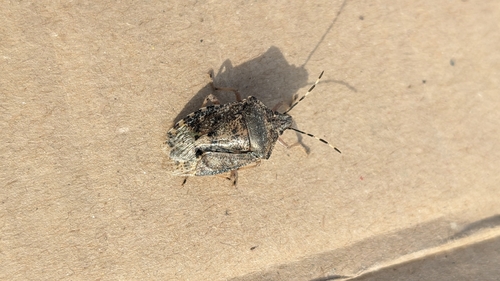
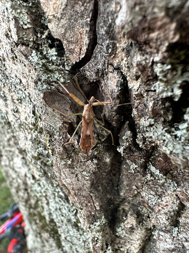
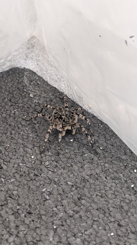
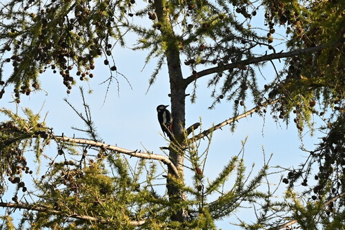
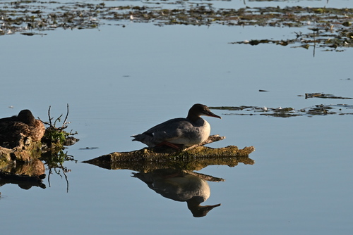
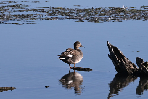
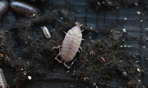
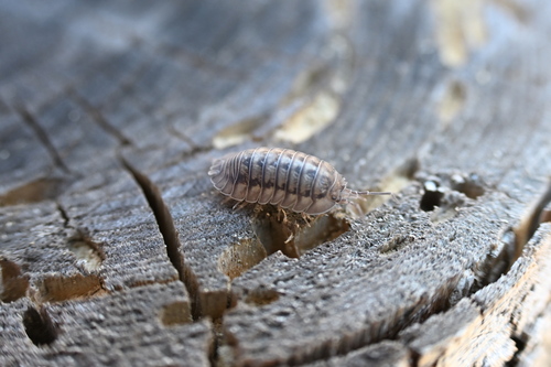
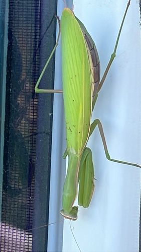
Research-grade observations from iNaturalist (within ~15 mi).
Events
Gallery
Sources
- • Wikipedia
- • Wikidata
- • iNaturalist
- • Open-Meteo / sunrise-sunset.org
- • Wikipedia Pageviews API