Browse / Slovakia / Banská Bystrica / Rimavská Sobota
Rimavská Sobota
Banská Bystricatown

Rimavská Sobota
Total population
24,309
Founded
1268
Demographic figures from Statistical Office of Slovakia. Overview below cites Wikipedia and may reference a different year.
City facts
Sister cities
Facts from Wikidata (CC0).
Overview
Rimavská Sobota is a town in southern Slovakia, in the Banská Bystrica Region, on the Rimava river. It has approximately 24,000 inhabitants. The town is a historical capital of Gömör és Kishont County.
Read more on WikipediaHistory & geography
History
The first traces of settlement in the town's territory come from the Neolithic. Other archaeological discoveries are dated to the middle and late Bronze Age and Iron Age. Several tribes have passed through the area, including Celts, Germanic tribes and several others during the Migration Period. The Slavs settled here most likely in the 7th and 8th centuries. The old Hungarian tribes came at the beginning of the 10th century and settled in the 11th century. A medieval town was probably founded in the second half of the 11th century and became a market town. The first written record about Rimavská Sobota was in 1268 as Rymoa Zumbota and belonged to the Archbishop of Kalocsa, who owned the land from 1150 to around 1340. In 1334 the ownership changed to Thomas Szécsényi from Transylvania. The town received a privilege charted in 1335 on the basis of the Buda municipal law. In the first half of the 15th century, it was a small town, and economic development had begun, when the first guilds were established. However, it was interrupted by Turkish occupation, first in 1553–1593 and then in 1596–1686. It was centre of Filek sanjak firstly in Budin Eyalet, latterly Eğri Eyalet. The town was growing again in the 18th century, with the guilds of tanners, weavers, shoe-makers and others being set up. It became a free privileged town in the 1790s. From 1850 to 1922 it was the capital of the Gömör-Kishont county. Industry started to develop in the 20th century, with a cannery being established in 1902.
Geography
It is located around east of the national capital Bratislava, around southeast of Banská Bystrica and west of Košice. The town, along with the district lies in the Rimava river valley in the Slovenské rudohorie mountains, in the Southern Slovak Basin. There are two protected areas close to the town in the district, Cerová vrchovina to the south and Muránska planina National Park to the north. The town is composed of 11 parts/boroughs: Bakta, Dúžava, Kurinec, Mojín, Nižná Pokoradz, Rimavská Sobota, Sabová, Sobôtka, Včelinec, Vinice and Vyšná Pokoradz.
Excerpted from the corresponding Wikipedia article (CC BY-SA).
Geography
Coordinates & boundaries from the US Census TIGER/Line shapefiles.
Climate
Air quality
Walkability
Amenities nearby
Wildlife & biodiversity
Earthquake history
Photos
Sights & places nearby
Notable people from here


People born within ~10 km, from Wikidata (CC0). Click any name for their Wikipedia article.
Geography & sun
Nearby airports
Public attention
Books about this place
Recent natural events nearby
Ground air-quality sensors
Recently spotted species
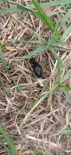
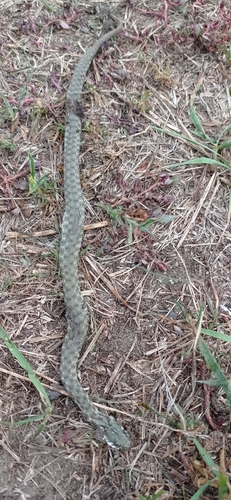
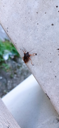
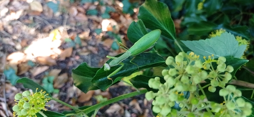
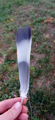
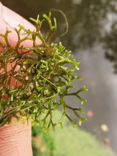
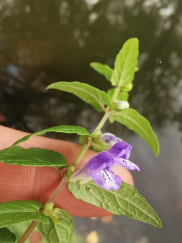
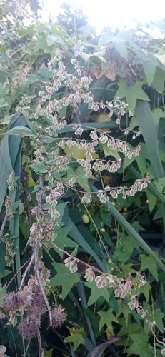
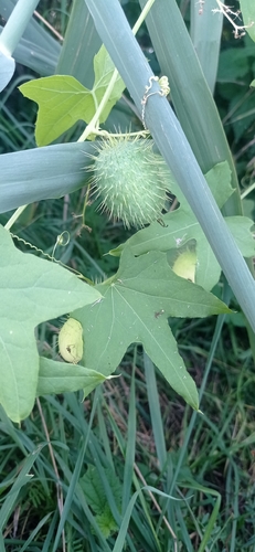
Research-grade observations from iNaturalist (within ~15 mi).
Events
Notable, recurring, and historical events associated with Rimavská Sobota, sourced from Wikidata.
- Dec 23, 2024
Source: Wikidata (CC0).
Gallery
Sources
- • Wikipedia
- • Wikidata
- • iNaturalist