Browse / Slovakia / Košice / Rožňava
Rožňava
Košicetown

Rožňava
Total population
17,782
Founded
1230
Demographic figures from Statistical Office of Slovakia. Overview below cites Wikipedia and may reference a different year.
City facts
Facts from Wikidata (CC0).
Overview
Rožňava is a town in Slovakia, approximately 71 kilometres by road from Košice in the Košice Region, and has a population of 19,182.
Read more on WikipediaHistory & geography
History
Archaeological finds show that the region was densely settled by miners as early as around 1200. The first written mention stems from 1291, the royal free town status from 1410. The Roman Catholic diocese of Rozsnyó was founded in 1776. In the Middle Ages, Rozsnyó was a prosperous mining town for gold, silver, and iron. Mining activities stagnated from the 16th century (when territories to the south of the town were conquered by Ottoman Turks). Mining - this time mainly of iron ore - was renewed around 1800 and was present in the town throughout the 20th century. It was ruled by Ottoman Empire as part of Filek sanjak (Its centre was Rimaszombat) during periods of 1554-1593 and 1596–1686. It was known as "Rojna" during Ottoman period. The name of the town probably derives from the German word for rose (Rose, in the German name of the town "Rosenau"). Until 1920 it was part of Gömör és Kishont County of the Kingdom of Hungary, and again from 1938 to 1945. During World War II, Rožňava was captured on 23 January 1945 by troops of the Romanian 4th Army, acting as a part of the Soviet 2nd Ukrainian Front. On 13 September 2003, Rožňava was visited by Pope John Paul II.
Excerpted from the corresponding Wikipedia article (CC BY-SA).
Geography
Coordinates & boundaries from the US Census TIGER/Line shapefiles.
Climate
Air quality
Walkability
Amenities nearby
Wildlife & biodiversity
Earthquake history
Photos
Sights & places nearby
Notable people from here


People born within ~10 km, from Wikidata (CC0). Click any name for their Wikipedia article.
Nearby places in Košice
- Čučma2 mi away · pop. 651
- Jovice2.2 mi away · pop. 714
- Brzotín2.6 mi away · pop. 1,300
- Betliar3.1 mi away · pop. 948
- Krásnohorská Dlhá Lúka3.3 mi away · pop. 685
- Rakovnica3.3 mi away · pop. 569
- Rožňavské Bystré4.1 mi away · pop. 573
- Gemerská Poloma4.3 mi away
- Lipovník4.6 mi away · pop. 520
- Henckovce5.8 mi away · pop. 433
- Honce5.9 mi away · pop. 384
- Drnava5.9 mi away · pop. 687
Geography & sun
Elevation, sunrise/sunset and daylight from Open-Meteo. Solar climatology from NASA POWER.
Nearby airports
Public attention
Pageview totals from the Wikimedia Pageviews API.
Books about this place
Recent natural events nearby
Ground air-quality sensors
Recently spotted species
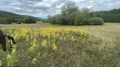
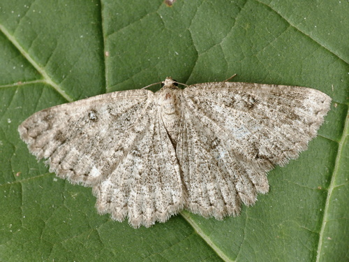
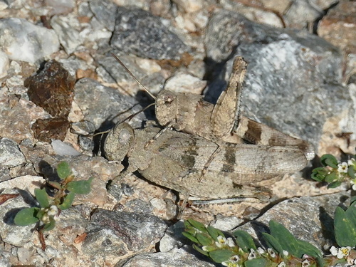
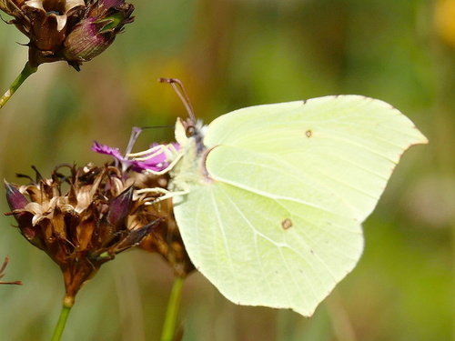
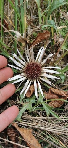
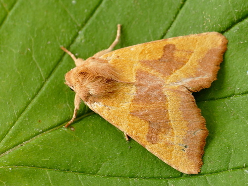
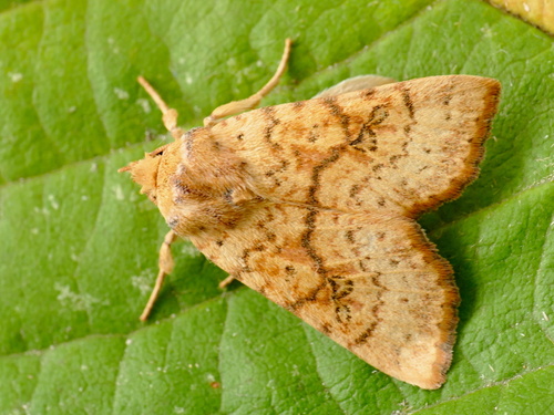
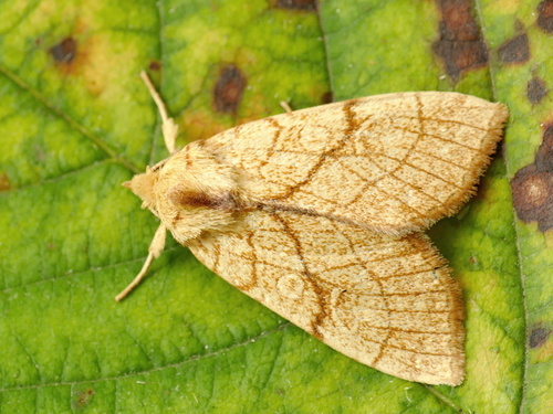
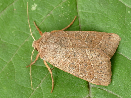
Research-grade observations from iNaturalist (within ~15 mi).
Events
Gallery
Sources
- • Wikipedia
- • Wikidata
- • iNaturalist
- • Open-Meteo / sunrise-sunset.org
- • Wikipedia Pageviews API