Browse / Slovakia / Banská Bystrica / Slovenská Ľupča
Slovenská Ľupča
Banská Bystricavillage

Slovenská Ľupča
Total population
3,163
Founded
1250
Demographic figures from Statistical Office of Slovakia. Overview below cites Wikipedia and may reference a different year.
City facts
Facts from Wikidata (CC0).
Overview
Slovenská Ľupča is the largest village in the Banská Bystrica District of central Slovakia.
Read more on WikipediaHistory & geography
History
In historical records the village was first mentioned in 1250. It was founded on an ancient trade route Via Magna connecting Buda to Kraków. The settlement was built around two important political and social centers: a castle and a monastery. A favorite residence of the influential noble Magister Donč, Slovenská Ľupča was elevated to a town by Charles I in 1340. Slovenská Ľupča lost its town charter in the 19th century. The development of the village in the 20th century was connected with the large pharmaceutical factory Biotika built in 1953.
Geography
The altitude of Slovenská Ľupča ranges from 370 to 699 metres, with the centre of the own residential area lying at 374 metres. The municipality covers an area of km2. It is situated about 10 km east of Banská Bystrica, in the Hron river valley. Slovenská Ľupča is part of two administrative units, the Banská Bystrica District and the Banská Bystrica Region.
Excerpted from the corresponding Wikipedia article (CC BY-SA).
Geography
Coordinates & boundaries from the US Census TIGER/Line shapefiles.
Climate
Air quality
Walkability
Amenities nearby
Wildlife & biodiversity
Earthquake history
Photos
Sights & places nearby
Notable people from here


People born within ~10 km, from Wikidata (CC0). Click any name for their Wikipedia article.
Geography & sun
Nearby airports
Public attention
Books about this place
Recent natural events nearby
Ground air-quality sensors
Recently spotted species
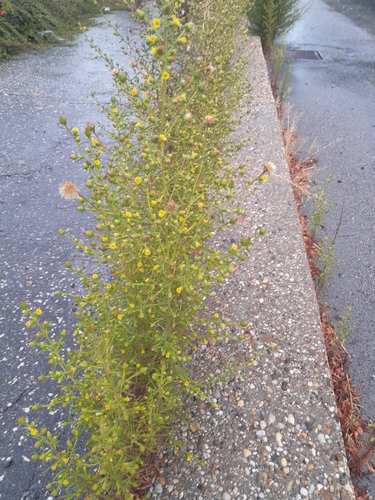
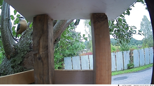
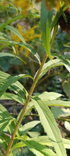
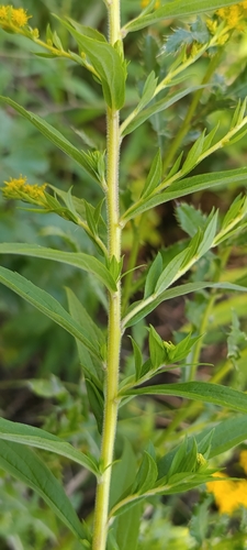
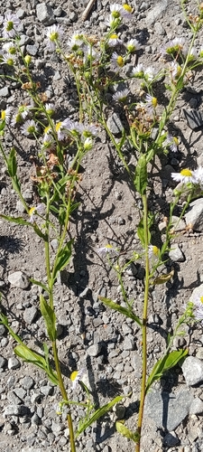
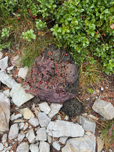
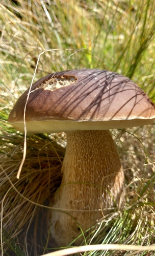
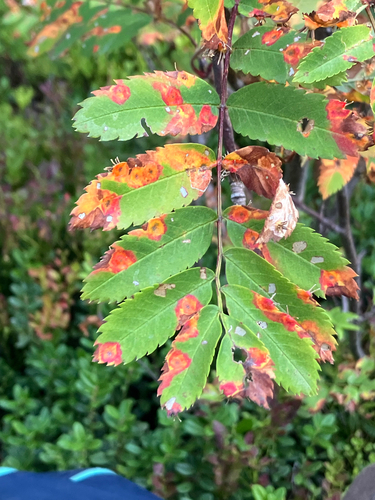
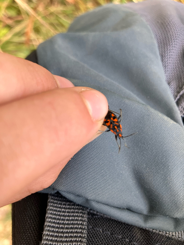
Research-grade observations from iNaturalist (within ~15 mi).
Events
Gallery
Sources
- • Wikipedia
- • Wikidata
- • iNaturalist