Browse / Slovakia / Prešov / Slovenská Ves
Slovenská Ves
Prešovvillage

Slovenská Ves
Total population
1,816
Founded
1311
Demographic figures from Statistical Office of Slovakia. Overview below cites Wikipedia and may reference a different year.
City facts
Facts from Wikidata (CC0).
Overview
Slovenská Ves is a village and municipality in Kežmarok District in the Prešov Region of north Slovakia.
Read more on WikipediaHistory & geography
History
In historical records, the village was first mentioned in 1311. Before the establishment of independent Czechoslovakia in 1918, Slovenská Ves was part of Szepes County within the Kingdom of Hungary. From 1939 to 1945, it was part of the Slovak Republic. On 27 January 1945, the Red Army dislodged the Wehrmacht from Slovenská Ves in the course of the Western Carpathian offensive and it was once again part of Czechoslovakia. The main employment of the village population since its establishment was agricultural manufacture. The main crops were and still are wheat and potatoes. Because of large meadows on mountain roots, a sheep breeding was the next favorite activity.
Geography
It is located under the largest mountain in middle Europe called the Tatras, surrounded by lush forests, with a lot of natural wells, rich in mushrooms and berries, being as a living space for wild animals as a bear, deer or fox.
Excerpted from the corresponding Wikipedia article (CC BY-SA).
Geography
Coordinates & boundaries from the US Census TIGER/Line shapefiles.
Climate
Air quality
Walkability
Amenities nearby
Wildlife & biodiversity
Earthquake history
Photos
Sights & places nearby
Notable people from here


People born within ~10 km, from Wikidata (CC0). Click any name for their Wikipedia article.
Geography & sun
Elevation, sunrise/sunset and daylight from Open-Meteo. Solar climatology from NASA POWER.
Nearby airports
Public attention
Pageview totals from the Wikimedia Pageviews API.
Books about this place
Recent natural events nearby
Ground air-quality sensors
Recently spotted species
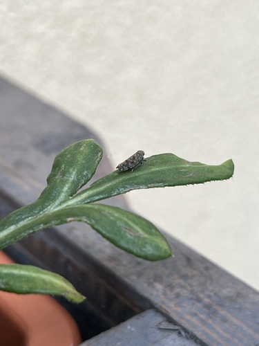
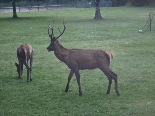
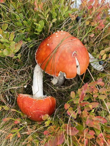
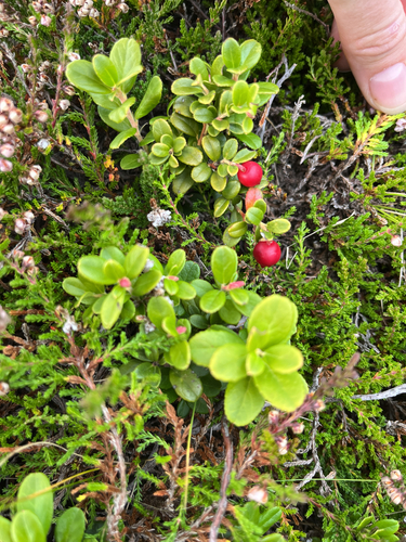
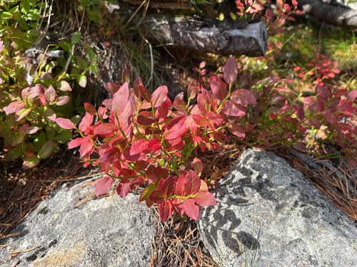
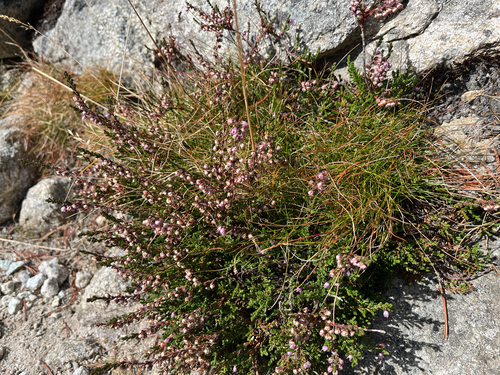
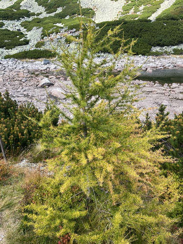
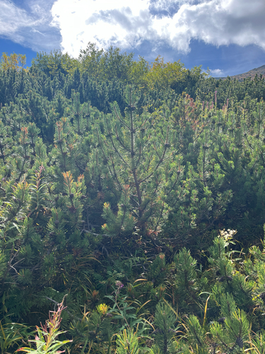
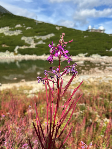
Research-grade observations from iNaturalist (within ~15 mi).
Events
Gallery
Sources
- • Wikipedia
- • Wikidata
- • iNaturalist
- • Open-Meteo / sunrise-sunset.org
- • Wikipedia Pageviews API