Browse / Slovakia / Trnava / Smolenice
Smolenice
Trnavavillage

Smolenice
Total population
3,287
Founded
1256
Demographic figures from Statistical Office of Slovakia. Overview below cites Wikipedia and may reference a different year.
City facts
Facts from Wikidata (CC0).
Overview
Smolenice is a village and municipality of Trnava District in the Trnava Region of Slovakia, on the foothills of the Little Carpathians. It is 60 km northeast of Bratislava and 25 km northwest of Trnava. The village is made of two parts, Smolenice and Smolenická Nová Ves.
Read more on WikipediaHistory & geography
History
The location of Smolenice at the edge of the basin of Trnava, easy access, and fertility facilitated settlement of the land in the Paleolithic era. There are only occasional archeological discoveries from this time, however, with more coming from the Neolithic era. The most significant period was the transition between the Bronze and Iron Ages, when the Celts around the 6th century BC had an oppidum above the village. There was a settlement on the same place during the Great Moravia period. From the 10th century it was part of the Kingdom of Hungary. The village was first mentioned in 1256 under name villa Solmus, though the settlement started to grow in the late Middle Ages. In the 14th century, the gothic Smolenice Castle was built above the village, as a part of a chain of fortifications protecting the passes through the Little Carpathians. The castle was royally owned at first, but it changed hands for several centuries until, in disrepair, in 1777 the Pálffys assumed ownership of it. On 28 May, 1704 the battle of Smolenice between the Kurucs and Austrian Imperial army took place. During the Napoleonic Wars, it burned down, and only the outer fortifications remained. In the 20th century, reconstruction of the Smolenice castle ruins began, and was finished in 1953, reconstructed as a château. From 1880 to 1883, Count Jozef Pálffy built a wood processing plant near the nearby village of Majdán. This was replaced in 1968 with the a paint factory Chemolak. On 6 August 2016 Cologne artist Gunter Demnig erected five Stolpersteine for Friedrich Beinhacker and four members of the Sidon family, all murdered by the Nazi regime.
Excerpted from the corresponding Wikipedia article (CC BY-SA).
Geography
Coordinates & boundaries from the US Census TIGER/Line shapefiles.
Climate
Air quality
Walkability
Amenities nearby
Wildlife & biodiversity
Earthquake history
Photos
Sights & places nearby
Notable people from here


People born within ~10 km, from Wikidata (CC0). Click any name for their Wikipedia article.
Geography & sun
Elevation, sunrise/sunset and daylight from Open-Meteo. Solar climatology from NASA POWER.
Nearby airports
Public attention
Pageview totals from the Wikimedia Pageviews API.
Books about Smolenice
Search results from Open Library.
Recent natural events nearby
Ground air-quality sensors
Recently spotted species
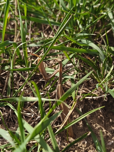
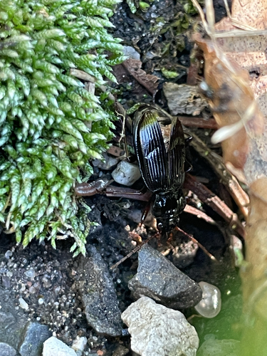
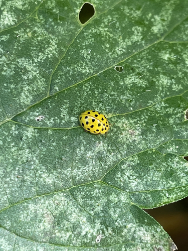
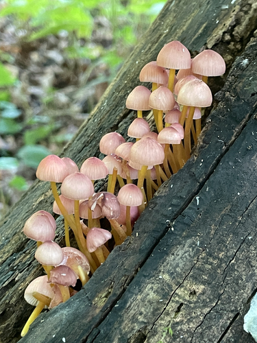
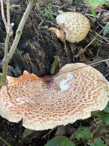
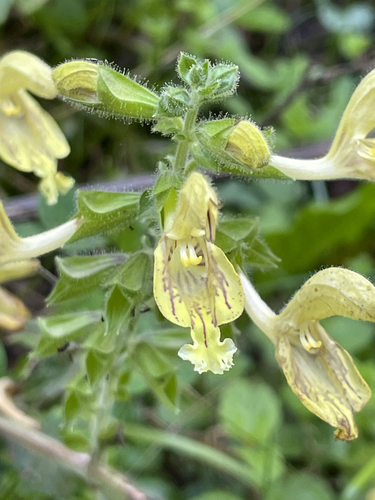
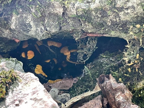
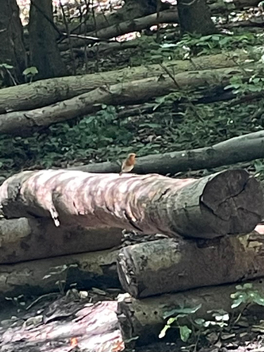
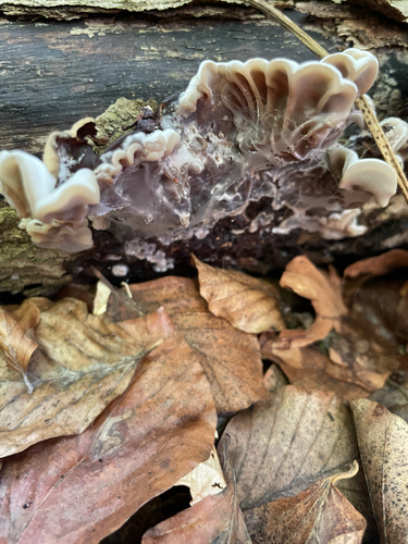
Research-grade observations from iNaturalist (within ~15 mi).
Events
Gallery
Sources
- • Wikipedia
- • Wikidata
- • iNaturalist
- • Open-Meteo / sunrise-sunset.org
- • Wikipedia Pageviews API
- • Open Library