Browse / Slovakia / Bratislava / Svätý Jur
Svätý Jur
Bratislavatown

Svätý Jur
Total population
4,972
Demographic figures from Statistical Office of Slovakia. Overview below cites Wikipedia and may reference a different year.
City facts
Facts from Wikidata (CC0).
Overview
Svätý Jur is a small historical town northeast of Bratislava, located in the Bratislava Region. The city is situated on the slopes of Little Carpathians mountains and surrounded by typical terraced vineyards with more than 700 years of winemaking tradition. In 1990, the intact city center was declared a protected city reservation. Cadastrially, Svätý Jur includes also the natural reserve Šúr, established in 1952 to protect one of the last and largest remnants of a tall-stem swamp alder forest in Central Europe.
Read more on WikipediaHistory & geography
History
Archaeological excavations date the original settlement to the Hallstatt period and the Quadi period. In the 9th century, a Great Moravian castle was built here. Svätý Jur was first mentioned in a written source in 1209 and received a town charter in 1299. It became a royal free town in the Kingdom of Hungary in 1647. Defensive city walls were constructed between 1603 and 1664, but Svätý Jur was devastated by the Ottoman Turks in their invasion of 1663. The Ottoman troops also destroyed the White Castle (), which had been an important administrative center of the region until then. In the 18th century, the Hungarian government recruited German farmers to repopulate the area. To encourage migration, it allowed the Germans to keep their language and religion in order to develop farmland for cultivation and produce. Through the 19th century and into the 20th century, the population of this area was largely ethnic German, although by that time they spoke an archaic form of German. They were known as Danube Swabians. In part because Nazi Germany used the eastern ethnic German communities as an excuse for its wars of expansion in eastern Europe, after World War II, ethnic Germans were forcefully expelled to Germany and other Western countries. In 1840, the first (horse) railway in the Kingdom of Hungary was built from Bratislava to Svätý Jur.
Geography
Svätý Jur is situated in the Pezinok District of the Bratislava Region in southwestern Slovakia. The surrounding areas include large vineyards in the nearby Little Carpathians and the unique Šúr swamps, a protected area.
Excerpted from the corresponding Wikipedia article (CC BY-SA).
Geography
Coordinates & boundaries from the US Census TIGER/Line shapefiles.
Climate
Air quality
Walkability
Amenities nearby
Wildlife & biodiversity
Most-observed species
- Great TitParus major Linnaeus, 1758 · Aves4,901
- Eurasian BlackbirdTurdus merula Linnaeus, 1758 · Aves4,197
- Hooded CrowCorvus cornix Linnaeus, 1758 · Aves3,266
- Common Wood-PigeonColumba palumbus Linnaeus, 1758 · Aves2,938
- Eurasian Blue TitCyanistes caeruleus (Linnaeus, 1758) · Aves2,909
- Eurasian MagpiePica pica (Linnaeus, 1758) · Aves2,769
- Common ChaffinchFringilla coelebs Linnaeus, 1758 · Aves2,601
- Great Spotted WoodpeckerDendrocopos major (Linnaeus, 1758) · Aves2,214
Citizen-science & research observations from the Global Biodiversity Information Facility (GBIF).
Earthquake history
Most recent
- M 3.9 — 2026-02-2111 km ESE of Šamorín, Slovakia
- M 3.9 — 2021-04-193 km SW of Wiener Neustadt, Austria
- M 4 — 2021-03-303 km NW of Lanzenkirchen, Austria
- M 4.2 — 2016-04-253 km NNE of Heiligenkreuz, Austria
- M 3.6 — 2013-10-022 km ENE of Unterwaltersdorf, Austria
- M 4.2 — 2013-09-201 km SSW of Leithaprodersdorf, Austria
Events from the USGS Earthquake Catalog (global) (FDSN Event Web Service).
Photos
Sights & places nearby
Notable people from here


People born within ~10 km, from Wikidata (CC0). Click any name for their Wikipedia article.
Nearby places in Bratislava
- Slovenský Grob3.3 mi away · pop. 5,136
- Pezinok3.4 mi away · pop. 21,656
- Viničné4.3 mi away · pop. 1,795
- Ivanka pri Dunaji5 mi away · pop. 5,777
- Vinosady5.4 mi away · pop. 1,125
- Bernolákovo5.5 mi away · pop. 5,149
- Zálesie6.7 mi away · pop. 1,285
- Marianka7.1 mi away · pop. 1,191
- Veľký Biel7.3 mi away · pop. 2,219
- Malinovo7.9 mi away · pop. 1,498
- Nova Dedinka8.1 mi away · pop. 1,869
- Most pri Bratislave8.3 mi away · pop. 1,690
Geography & sun
Elevation, sunrise/sunset and daylight from Open-Meteo. Solar climatology from NASA POWER.
Nearby airports
Public attention
Pageview totals from the Wikimedia Pageviews API.
Books about this place
Recent natural events nearby
Ground air-quality sensors
Recently spotted species
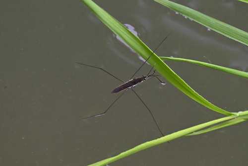
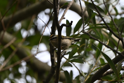
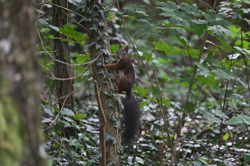
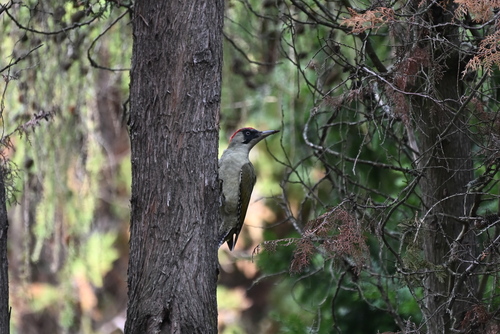
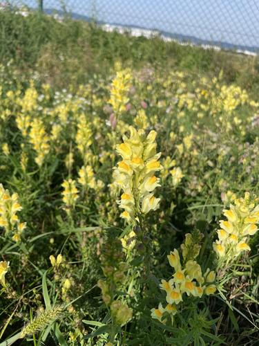

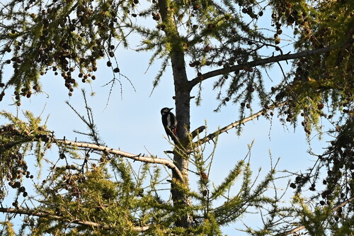
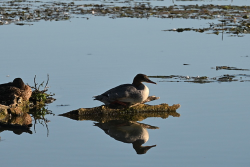
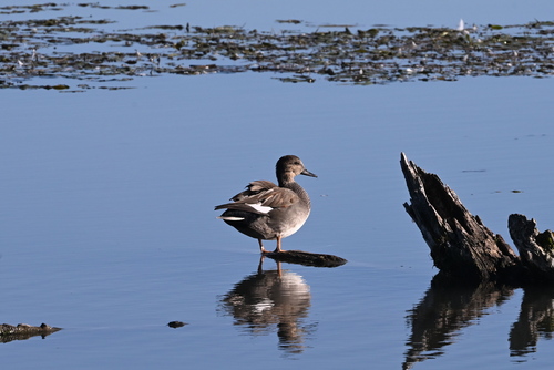
Research-grade observations from iNaturalist (within ~15 mi).
Events
Gallery
Sources
- • Wikipedia
- • Wikidata
- • USGS Earthquake Catalog (global feed)
- • GBIF (Global Biodiversity Information Facility)
- • iNaturalist
- • Open-Elevation
- • Open-Meteo / sunrise-sunset.org
- • Wikipedia Pageviews API