Browse / Slovakia / Žilina / Terchová
Terchová
Žilinavillage

Terchová
Total population
4,078
Founded
1580
Demographic figures from Statistical Office of Slovakia. Overview below cites Wikipedia and may reference a different year.
City facts
Sister cities
Facts from Wikidata (CC0).
Overview
Terchová is a large village and municipality in the Malá Fatra mountains in the Žilina District in the Žilina Region of northern Slovakia.
Read more on WikipediaHistory & geography
History
The village was established in 1580, but the area was inhabited even before its establishment. Originally a Vlach settlement from the period of Vlach colonization, it slowly began to change to an agricultural settlement, as many new settlers in the 17th century came to the village. In the 19th century, several droughts and plagues depopulated the village, as many emigrated to the US, Canada and Argentina. Near the end of World War II, half of the wooden part of the village was burned down. During the first post-war years, it was reconstructed as part of two-year plan. The village is most famous for being the birthplace and town where Juraj Janosik grew up. In 2013 Music of Terchová was inscribed on the UNESCO's Representative List of the Intangible Cultural Heritage of Humanity.
Geography
The village lies in a valley in the Malá Fatra mountains, about 25 km east of Žilina. The tourist resort of Vrátna dolina belongs to the village.
Excerpted from the corresponding Wikipedia article (CC BY-SA).
Geography
Coordinates & boundaries from the US Census TIGER/Line shapefiles.
Climate
Air quality
Walkability
Amenities nearby
Wildlife & biodiversity
Earthquake history
Photos
Sights & places nearby
Notable people from here
Nearby places in Žilina
- Belá4.2 mi away · pop. 3,392
- Lutiše4.2 mi away · pop. 794
- Lysica5.1 mi away · pop. 834
- Zázrivá5.7 mi away · pop. 2,767
- Stráža5.8 mi away · pop. 684
- Dolná Tižina5.9 mi away · pop. 1,383
- Radôstka6.1 mi away · pop. 871
- Nová Bystrica6.1 mi away · pop. 2,882
- Horný Vadičov6.7 mi away · pop. 1,569
- Krasňany7.1 mi away · pop. 1,210
- Stará Bystrica7.4 mi away · pop. 2,759
- Šútovo7.8 mi away · pop. 522
Geography & sun
Elevation, sunrise/sunset and daylight from Open-Meteo. Solar climatology from NASA POWER.
Nearby airports
Public attention
Pageview totals from the Wikimedia Pageviews API.
Books about this place
Recent natural events nearby
Ground air-quality sensors
Recently spotted species
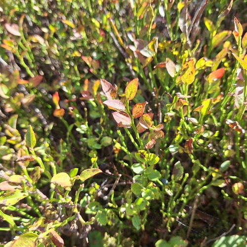
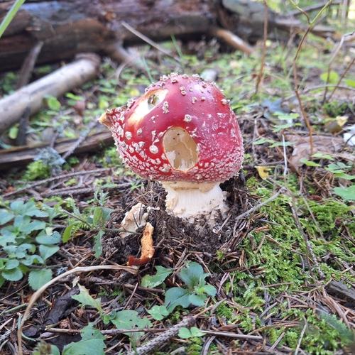
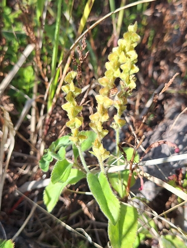
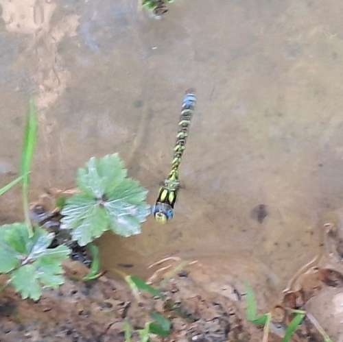
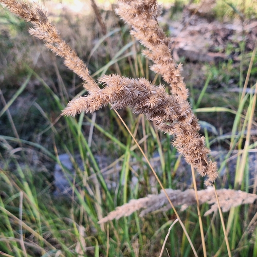
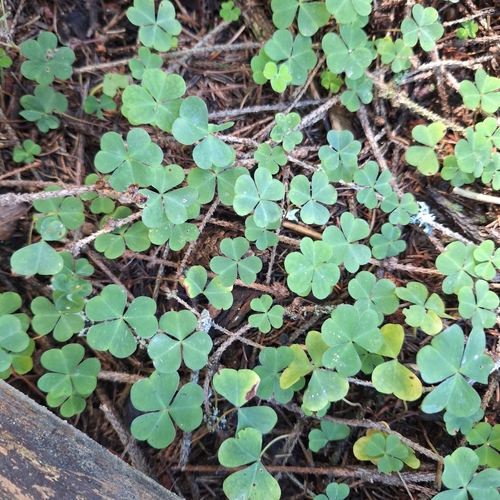
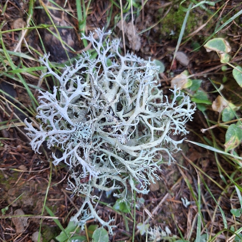
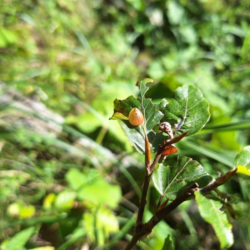
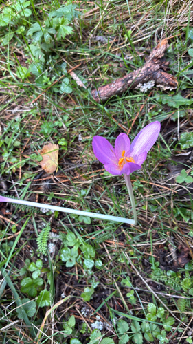
Research-grade observations from iNaturalist (within ~15 mi).
Events
Gallery
Sources
- • Wikipedia
- • Wikidata
- • iNaturalist
- • Open-Meteo / sunrise-sunset.org
- • Wikipedia Pageviews API