Browse / Slovakia / Nitra / Topoľčany
Topoľčany
Nitratown

Topoľčany
Total population
28,673
Founded
1173
Demographic figures from Statistical Office of Slovakia. Overview below cites Wikipedia and may reference a different year.
City facts
Facts from Wikidata (CC0).
Overview
Topoľčany is a town in the Nitra Region of Slovakia. The population is around 25,000 in total.
Read more on WikipediaHistory & geography
History
Founded in the 9th century, Topoľčany was a regional market centre during the Middle Ages located on the western bank of the Nitra River and on a crossroads of trade routes. Topoľčany Castle was built in the 13th century northwest of the town; this considerable distance was due to the lowland location of Topoľčany. The castle lies on the slopes of Považský Inovec. During the 12th and 13th centuries, Topoľčany was owned by the Csak family, its best-known member being Matthew III Csák. In the 15th century, the castle was conquered and held by the Hussites for 3 years, who returned it for a fee of 9,000 ducats in 1434. In 1443 the countryside was pillaged by a rogue noble who had captured the castle, but was later evicted by the king and sent to Moravia. In the same year, and again in 1444, the town (and much of Carpathia) was struck by an earthquake. During the 16th and 17th centuries, there were a few large-scale fires that destroyed substantial parts of the town. Because the town was only north of the border between the Ottoman Empire and the Habsburg monarchy, Topoľčany was often raided by the Ottoman Turks during the Ottoman wars in Europe, notably in the years 1599 and 1643, when many citizens were taken into slavery. The town's population stagnated as a result. The town's location in a lowland thus proved a disadvantage in times of war as the town never grew big enough to erect city walls. For most of its history, Topoľčany's population was ethnically mixed. While the rural population was almost purely Slovak, the urban population consisted of Carpathian Germans, Jews, and Magyars. Jews immigrated to the town during the 16th-18th centuries. This ethnic mix came to an end in the first part of the 20th century, as industrialization attracted Slovaks from the…
Excerpted from the corresponding Wikipedia article (CC BY-SA).
Geography
Coordinates & boundaries from the US Census TIGER/Line shapefiles.
Climate
Air quality
Walkability
Amenities nearby
Wildlife & biodiversity
Most-observed species
- Field MapleAcer campestre L. · Magnoliopsida156
- Eurasian BlackbirdTurdus merula Linnaeus, 1758 · Aves151
- HornbeamCarpinus betulus L. · Magnoliopsida151
- Sessile OakQuercus petraea (Matt.) Liebl. · Magnoliopsida148
- Turkey OakQuercus cerris L. · Magnoliopsida138
- Cornelian-cherryCornus mas L. · Magnoliopsida137
- Great TitParus major Linnaeus, 1758 · Aves137
- Cypress SpurgeEuphorbia cyparissias L. · Magnoliopsida135
Citizen-science & research observations from the Global Biodiversity Information Facility (GBIF).
Earthquake history
Most recent
- M 3.9 — 2026-02-2111 km ESE of Šamorín, Slovakia
- M 2.8 — 2018-08-171 km ENE of Tren?ianske Teplice, Slovakia
- M 4.1 — 2013-06-054 km NE of Érsekvadkert, Hungary
- M 3.6 — 2006-03-135 km NNW of Leopoldov, Slovakia
- M 3.1 — 2006-03-093 km SSW of Tren?ianske Teplice, Slovakia
- M 3.5 — 2004-09-2312 km NNW of Dudince, Slovakia
Events from the USGS Earthquake Catalog (global) (FDSN Event Web Service).
Photos
Sights & places nearby
Notable people from here
Nearby places in Nitra
- Tovarníky1.6 mi away · pop. 1,403
- Práznovce1.7 mi away · pop. 971
- Solčany1.9 mi away · pop. 2,510
- Nemčice2.5 mi away · pop. 950
- Chrabrany2.6 mi away · pop. 772
- Krušovce2.6 mi away · pop. 1,830
- Nitrianska Streda2.7 mi away · pop. 754
- Jacovce2.9 mi away · pop. 1,829
- Čeľadince3.2 mi away · pop. 453
- Kuzmice3.5 mi away · pop. 724
- Krnča3.8 mi away · pop. 1,285
- Horné Chlebany3.9 mi away · pop. 354
Geography & sun
Elevation, sunrise/sunset and daylight from Open-Meteo. Solar climatology from NASA POWER.
Nearby airports
Public attention
Pageview totals from the Wikimedia Pageviews API.
Books about Topoľčany
Search results from Open Library.
Recent natural events nearby
Ground air-quality sensors
Recently spotted species
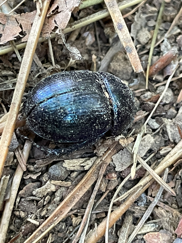
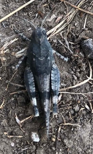
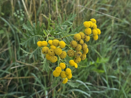
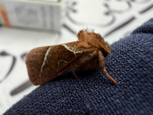
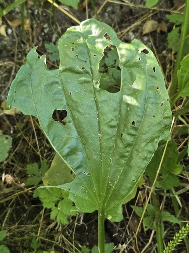
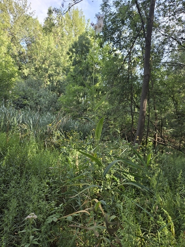
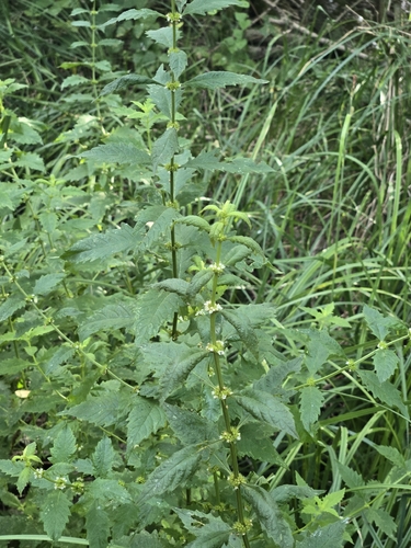
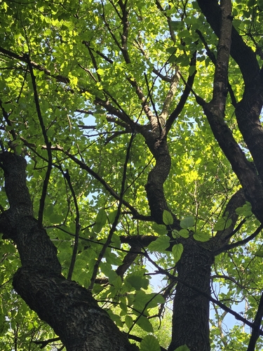
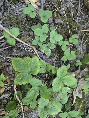
Research-grade observations from iNaturalist (within ~15 mi).
Events
Gallery
Sources
- • Wikipedia
- • Wikidata
- • USGS Earthquake Catalog (global feed)
- • GBIF (Global Biodiversity Information Facility)
- • iNaturalist
- • Open-Elevation
- • Open-Meteo / sunrise-sunset.org
- • Wikipedia Pageviews API
- • Open Library