Browse / Slovakia / Banská Bystrica / Tornaľa
Tornaľa
Banská Bystricatown

Tornaľa
Total population
7,920
Founded
1245
Demographic figures from Statistical Office of Slovakia. Overview below cites Wikipedia and may reference a different year.
City facts
Sister cities
Facts from Wikidata (CC0).
Overview
Tornaľa is a town and municipality in Revúca District in the Banská Bystrica Region of Slovakia, with a population of approximately 7,000.
Read more on WikipediaHistory & geography
History
The first written record of the settlement dates back from 1245. The town was located in the Kingdom of Hungary until the second half of the 19th century. During the periods 1554 - 1593 and 1596 - 1686, Tornaľa was ruled by the Ottoman Empire as part of Filek sanjak with its centre in Rimaszombat). Before the establishment of independent Czechoslovakia in 1918, Tornaľa was part of Gömör and Kishont County within the Kingdom of Hungary. From 1938 to 1944, it was again part of Hungary as a result of the First Vienna Award. On 19 December 1944, Soviet troops of the 2nd Ukrainian Front entered Tornaľa. It became part of Czechoslovakia once again.
Geography
It is located in the historical Gemer region and lies on the Slaná river.
Excerpted from the corresponding Wikipedia article (CC BY-SA).
Geography
Coordinates & boundaries from the US Census TIGER/Line shapefiles.
Climate
Air quality
Walkability
Amenities nearby
Wildlife & biodiversity
Earthquake history
Photos
Sights & places nearby
Notable people from here


People born within ~10 km, from Wikidata (CC0). Click any name for their Wikipedia article.
Nearby places in Banská Bystrica
- Žiar2.5 mi away · pop. 151
- Hubovo2.6 mi away · pop. 138
- Levkuška3.6 mi away · pop. 227
- Štrkovec4.3 mi away · pop. 349
- Neporadza5.2 mi away · pop. 291
- Riečka5.7 mi away · pop. 230
- Kráľ6.5 mi away · pop. 934
- Abovce7.1 mi away · pop. 617
- Radnovce7.7 mi away · pop. 728
- Tomášovce8.1 mi away · pop. 205
- Lenartovce8.5 mi away · pop. 551
- Višňové9 mi away · pop. 68
Geography & sun
Elevation, sunrise/sunset and daylight from Open-Meteo. Solar climatology from NASA POWER.
Nearby airports
Public attention
Pageview totals from the Wikimedia Pageviews API.
Books about this place
Recent natural events nearby
Ground air-quality sensors
Recently spotted species
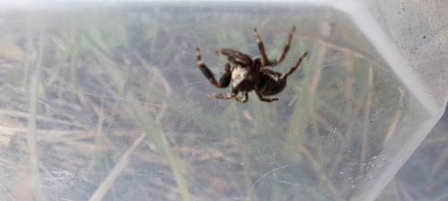
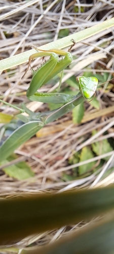
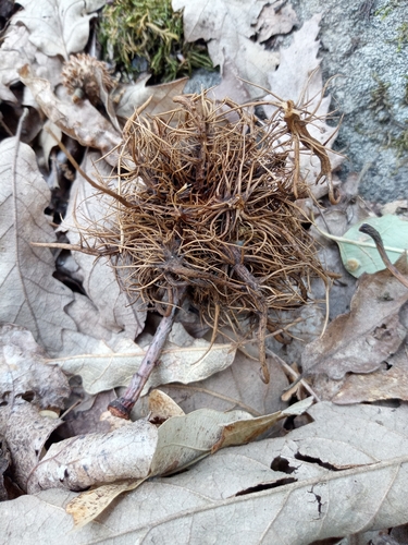
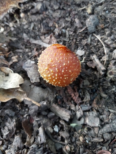
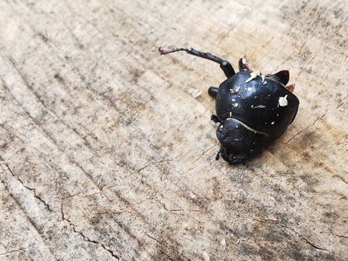
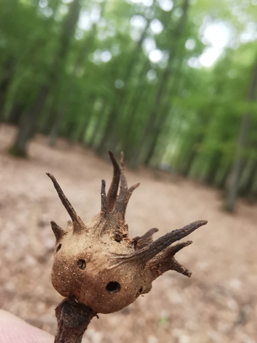
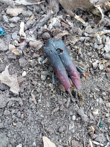
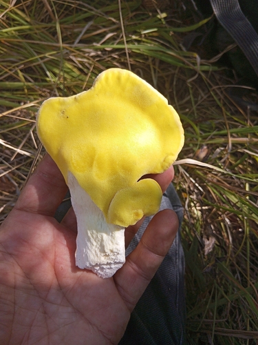
Research-grade observations from iNaturalist (within ~15 mi).
Events
Gallery
Sources
- • Wikipedia
- • Wikidata
- • iNaturalist
- • Open-Meteo / sunrise-sunset.org
- • Wikipedia Pageviews API