Browse / Slovakia / Žilina / Trstená
Trstená
Žilinatown

Trstená
Total population
7,537
Founded
1371
Demographic figures from Statistical Office of Slovakia. Overview below cites Wikipedia and may reference a different year.
City facts
Sister cities
Facts from Wikidata (CC0).
Overview
Trstená is a town in Tvrdošín District, Žilina Region, Northern Slovakia.
Read more on WikipediaHistory & geography
History
In 1371, King Louis I of Hungary granted Duke Vladislaus II of Opole, Schwankomir (Vladislaus' notary and brother in law), Jan Hertel, a relative of Schwankomir from Einseidel in Silesia (and his sons, Jakub and Martin) and Vladislaus' brothers (Janko, Grimok, Junislav and Wismer) to establish a new town in the forest (from Zabiedov brook (Zadowa) to the Bukovina valley), near Tvrdošín. This new town was Trstená, a market town. The town's name comes from the word reed (Slovak: trstina). Jan Hertel and his descendants became the hereditary mayors ('advocati' or 'sculteti') of Trstená (initially Bingenstad). Hertel was allowed, even though he was not a nobleman, to establish a public bar, a slaughter house, a blacksmith's forgery, bakery, shops and toll houses. (Other bakers, publicans, shoemakers and craftsmen were excluded from the town.) He was given the right to build mills anywhere near the Oravica brook, to mine and sell rock and to hunt and fish throughout the locale. Hertel was also made the local magistrate and tax collector. Trstená developed trade with Poland, with goods such as salt, cloth and lead, and also developed a strong potters' guild. Trstená was home to a Jewish community until World War II. The Trstená synagogue and Jewish cemetery remain as evidence of their past presence. The latest cemetery headstones are dated in the 1930s. Trstená was occupied by German forces and after heavy shelling, was liberated by Russian forces. A memorial in the main square celebrates the liberation of the town. The synagogue, located behind the town's main hotel, the Roháč, is now a shoe shop. Its exterior is well maintained in pale blue and white. The entrance portal has Renaissance-Baroque features. The wasteland unmarked Jewish cemetery is located on a steep…
Geography
{{Slovak municipality/geo|617|
Excerpted from the corresponding Wikipedia article (CC BY-SA).
Geography
Coordinates & boundaries from the US Census TIGER/Line shapefiles.
Climate
Air quality
Walkability
Amenities nearby
Wildlife & biodiversity
Most-observed species
- Common BuzzardButeo buteo (Linnaeus, 1758) · Aves1,000
- Common RavenCorvus corax Linnaeus, 1758 · Aves915
- Common ChaffinchFringilla coelebs Linnaeus, 1758 · Aves904
- White WagtailMotacilla alba Linnaeus, 1758 · Aves871
- MallardAnas platyrhynchos Linnaeus, 1758 · Aves866
- FieldfareTurdus pilaris Linnaeus, 1758 · Aves814
- Gray/Purple HeronArdea cinerea Linnaeus, 1758 · Aves733
- Eurasian MagpiePica pica (Linnaeus, 1758) · Aves728
Citizen-science & research observations from the Global Biodiversity Information Facility (GBIF).
Earthquake history
Most recent
- M 2.8 — 2023-01-122 km ENE of Karviná, Czechia
- M 4.1 — 2015-11-173 km N of Che?mek, Poland
- M 3.2 — 2008-12-041 km SW of Doubrava, Czechia
- M 3.2 — 2008-11-19Poland
- M 2.5 — 2008-04-204 km E of Tychy, Poland
- M 2.6 — 2008-04-130 km SW of Doubrava, Czechia
Events from the USGS Earthquake Catalog (global) (FDSN Event Web Service).
Photos
Sights & places nearby
Notable people from here


People born within ~10 km, from Wikidata (CC0). Click any name for their Wikipedia article.
Nearby places in Žilina
- Brezovica2.3 mi away · pop. 1,326
- Liesek2.7 mi away · pop. 2,689
- Zábiedovo2.7 mi away · pop. 813
- Tvrdošín3 mi away · pop. 9,401
- Štefanov nad Oravou3 mi away · pop. 633
- Čimhová3.9 mi away
- Nižná5.2 mi away · pop. 4,048
- Vitanová5.4 mi away · pop. 1,253
- Bobrov5.6 mi away · pop. 1,579
- Habovka5.6 mi away · pop. 1,350
- Oravský Biely Potok5.6 mi away · pop. 630
- Podbiel6.6 mi away · pop. 1,273
Geography & sun
Nearby airports
Public attention
Books about this place
Recent natural events nearby
Ground air-quality sensors
Recently spotted species
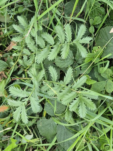
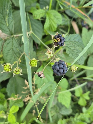
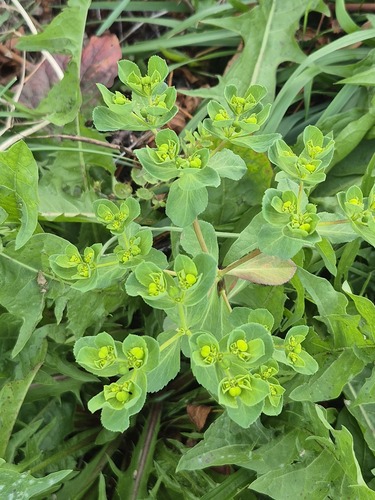
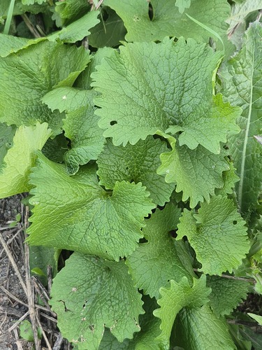
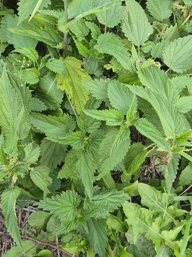
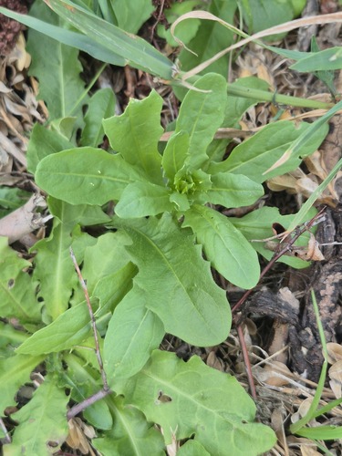
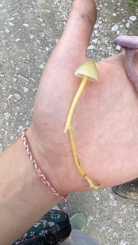
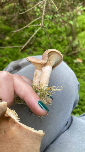
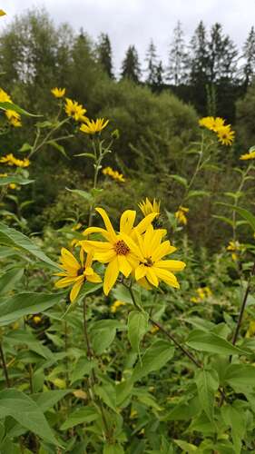
Research-grade observations from iNaturalist (within ~15 mi).
Events
Gallery
Sources
- • Wikipedia
- • Wikidata
- • USGS Earthquake Catalog (global feed)
- • GBIF (Global Biodiversity Information Facility)
- • iNaturalist