Browse / Slovakia / Banská Bystrica / Utekac
Utekac
Banská Bystricavillage

Utekac
Total population
1,099
Founded
1536
Demographic figures from Statistical Office of Slovakia. Overview below cites Wikipedia and may reference a different year.
City facts
Facts from Wikidata (CC0).
Overview
Utekáč is a village and municipality in the Poltár District in the Banská Bystrica Region of Slovakia.
Read more on WikipediaHistory & geography
History
The first mention about Utekáč is from the year 1593. Before the establishment of independent Czechoslovakia in 1918, it was part of Gömör and Kishont County within the Kingdom of Hungary. From 1939 to 1945, it was part of the Slovak Republic. Development of Utekáč began in 1787 when earl Forgáč came to the territory. He built up a few glassworks from which just the biggest – Clara – is preserved. Aboriginal inhabitants of the glasswork's colony moved in families of glassworks experts from Germany, Hungary, Bohemia and Moravia. Modern history began on 1 January 1993 with establishment of the separate village. Utekáč was only an industrial part of the village Kokava nad Rimavicou before. With its industrial and housing development it is a small town now. Its villages Salajka, Drahová, Havrilovo, Dlhá Lúka, Ďurkovka, Bánik, Nad Rimava and Cisársko are typical mountain settlements of original folk architecture character. The residences in the village Salajka are Finnish wooden storeyed houses. From the historic point of view, there is the dominant mansion of Earl Forgáč and a Chapel of Saint Anton Paduánsky that also serves as the tomb of the Kuchynka family – the owners of glassworks. In Drahová and Havrilovo there are interesting small chapels. A trio of fujara makers and fujarists, the Kubincs brought the village fame. During the II. World War and SNP there were severe fighting on the village's territory. The memorial of fallen in local park and the vale of Nikolaj Chmelnický with three memorials characterize events from that period. Lovers of hiking, mushroom picking, hunting and fishing will enjoyed the vicinity. The village has a suitable location for development of tourism, forest tourism and farming. There are excellent conditions for running tracks and downhill…
Excerpted from the corresponding Wikipedia article (CC BY-SA).
Geography
Coordinates & boundaries from the US Census TIGER/Line shapefiles.
Climate
Air quality
Walkability
Amenities nearby
Wildlife & biodiversity
Earthquake history
Photos
Sights & places nearby
Notable people from here


People born within ~10 km, from Wikidata (CC0). Click any name for their Wikipedia article.
Nearby places in Banská Bystrica
- Šoltýska3 mi away · pop. 141
- Zlatno6.2 mi away · pop. 500
- Drábsko7.5 mi away · pop. 223
- Lehota nad Rimavicou7.9 mi away · pop. 306
- Hradište8.6 mi away · pop. 275
- České Brezovo8.7 mi away · pop. 505
- Krokava10.4 mi away · pop. 35
- Poproč10.7 mi away · pop. 18
- Kyjatice10.9 mi away · pop. 78
- Kociha10.9 mi away · pop. 210
- Selce10.9 mi away · pop. 104
- Hrnčiarska Ves12.3 mi away · pop. 991
Geography & sun
Elevation, sunrise/sunset and daylight from Open-Meteo. Solar climatology from NASA POWER.
Nearby airports
Public attention
Pageview totals from the Wikimedia Pageviews API.
Books about this place
Recent natural events nearby
Ground air-quality sensors
Recently spotted species
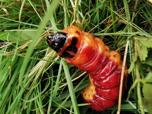
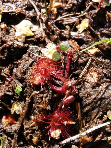
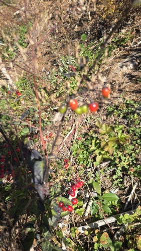
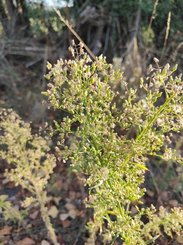
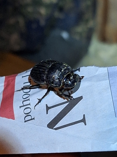
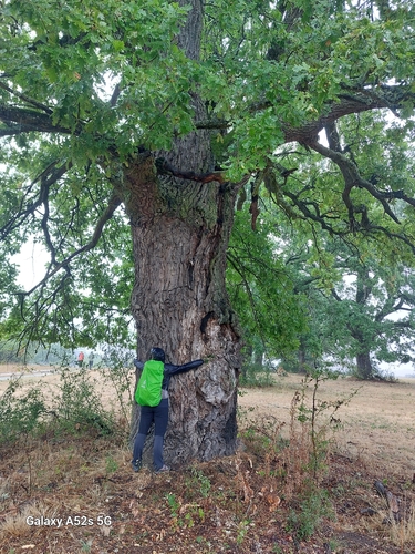
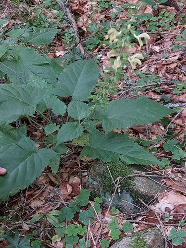
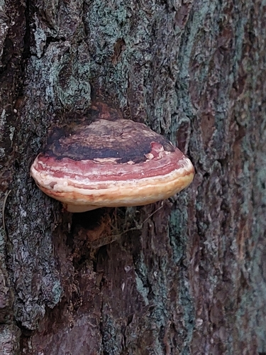
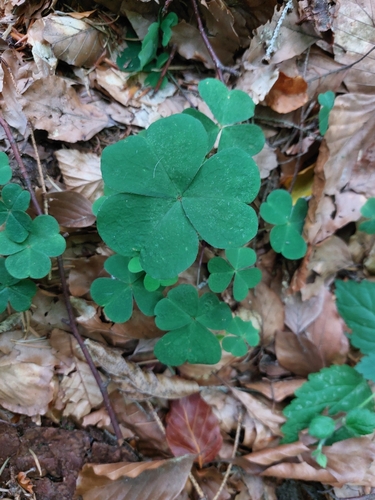
Research-grade observations from iNaturalist (within ~15 mi).
Events
Gallery
Sources
- • Wikipedia
- • Wikidata
- • iNaturalist
- • Open-Meteo / sunrise-sunset.org
- • Wikipedia Pageviews API