Browse / Slovakia / Bratislava / Veľké Leváre
Veľké Leváre
Bratislavavillage

Veľké Leváre
Total population
3,575
Founded
1378
Demographic figures from Statistical Office of Slovakia. Overview below cites Wikipedia and may reference a different year.
City facts
Facts from Wikidata (CC0).
Overview
Veľké Leváre is a village and municipality in western Slovakia in Malacky District in the Bratislava region.
Read more on WikipediaHistory & geography
History
There are historically unique and Europe's most preserved buildings of a notable architecture - Haban's houses, there. Other buildings of the village are witnesses of its rich history. The Habans were followers of an ultra-nonconformist Christian doctrine which, among other things, held that believers should be baptised as youths, not as infants - followers are also known as Anabaptists. In the religious turmoil of 16th- and 17th-century Europe this was regarded as heresy and frequently resulted in severe persecution. Several groups left their original homes in Germany, some heading west to North America (where one group became known as the Amish); others went east, some ending up in the village of Veľké Leváre in Záhorie. Local landowners were keen for them to settle here: they were well-behaved, reliable taxpayers and prodigiously hard workers. Their main occupation was pottery making. Haban designs are very similar to those still used in Modra pottery; indeed it is very likely that this is where the Modra potters got their techniques. The main difference is that Haban designs never use red, which is associated with blood. The Habans were not allowed to settle in the centre of Veľké Leváre, instead forming a compound around a square on the edge of the village with a mill, workshops, church, meeting hall and houses (the word "Haban" refers to their distinctive homes). Theirs was a culture apart: children were brought up communally; marriage to non-Habans was prohibited and, since the community was small, a board approved marriages to prevent in-breeding. In the 16th century Croatian colonists came. The family Kollonic, whose members had a significant influence in the Austro-Hungarian monarchy, owned properties and a castle in the neighboring Austria (the village…
Excerpted from the corresponding Wikipedia article (CC BY-SA).
Geography
Coordinates & boundaries from the US Census TIGER/Line shapefiles.
Climate
Air quality
Walkability
Amenities nearby
Wildlife & biodiversity
Earthquake history
Photos
Sights & places nearby
Notable people from here


People born within ~10 km, from Wikidata (CC0). Click any name for their Wikipedia article.
Nearby places in Bratislava
- Malé Leváre1.5 mi away · pop. 1,129
- Závod3.2 mi away · pop. 2,708
- Kostolište4.1 mi away · pop. 1,132
- Gajary4.2 mi away · pop. 2,894
- Malacky4.7 mi away · pop. 17,887
- Jakubov7.1 mi away · pop. 1,466
- Rohožník8.1 mi away · pop. 3,534
- Plavecký Štvrtok8.9 mi away · pop. 2,362
- Suchohrad9.4 mi away · pop. 619
- Kuchyňa9.7 mi away · pop. 1,691
- Láb9.9 mi away · pop. 1,401
- Sološnica10.8 mi away · pop. 1,544
Geography & sun
Elevation, sunrise/sunset and daylight from Open-Meteo. Solar climatology from NASA POWER.
Nearby airports
Public attention
Pageview totals from the Wikimedia Pageviews API.
Books about this place
Recent natural events nearby
Ground air-quality sensors
Recently spotted species
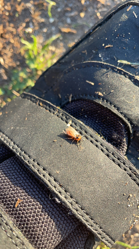
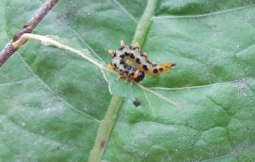
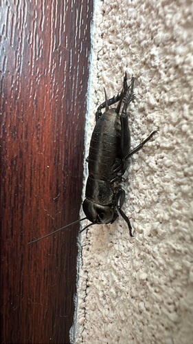
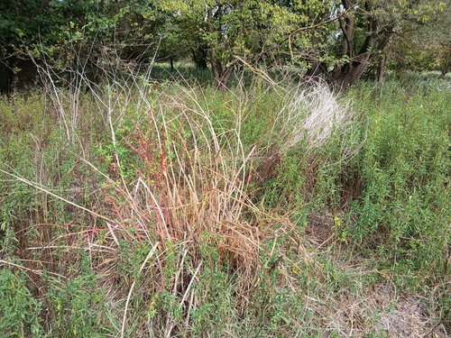
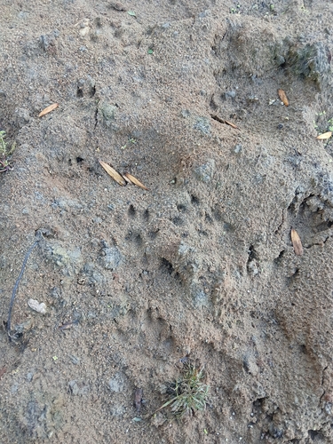
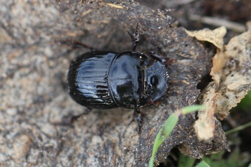
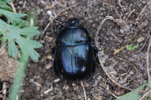
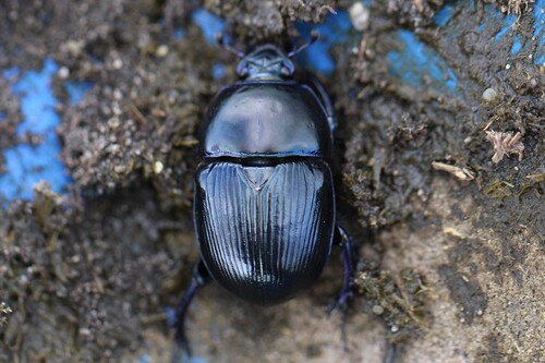
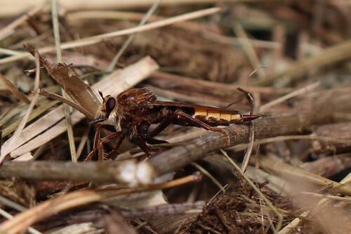
Research-grade observations from iNaturalist (within ~15 mi).
Events
Gallery
Sources
- • Wikipedia
- • Wikidata
- • iNaturalist
- • Open-Meteo / sunrise-sunset.org
- • Wikipedia Pageviews API