Browse / Slovakia / Bratislava / Vištuk
Vištuk
Bratislavavillage

Vištuk
Total population
1,357
Founded
1208
Demographic figures from Statistical Office of Slovakia. Overview below cites Wikipedia and may reference a different year.
City facts
Facts from Wikidata (CC0).
Overview
Vištuk is a village and municipality in western Slovakia in Pezinok District in the Bratislava region. The town is located north of Senec and east of Modra.
Read more on WikipediaHistory & geography
History
Archeologists found remains of settlements from roughly 5000 BC. The modern history of the village begins in 1244, when it is first mentioned under the name Vyscha. At that time the village was very new. The entire region was decimated during the 1241-42 Mongol invasion, and subsequently resettled by German winemakers. After another decline in the first half of the 16th century, the town experienced significant growth, largely due to an influx of Croatian settlers in 1540. Vištuk is situated at the merger of three creeks and once had several water reservoirs, the largest of which still exists today. By the end of the 16th Century, the village was one of the largest in the Červený Kameň county. In 1573 the town built its Roman Catholic church of Holy Trinity, in the place of an older, Gothic church. Roughly at the same time, a smaller church was built, later rebuilt into a chapel. In 1705 the village was burned to the ground during the Battle of Budmerice, during the 1703-11 Hungarian independence war led by Francis II Rákóczi. The town was rebuilt, only to be burned down three more times in the 18th century. During that time, Anton Benčič, a Catholic priest, translator and one of the first proponents of the Slovak language, was born in Vištuk in 1745. In the 19th and 20th century the village grew somewhat, mainly thanks to its vineyards. In 1920, the current name, Vištuk, was codified.
Excerpted from the corresponding Wikipedia article (CC BY-SA).
Geography
Coordinates & boundaries from the US Census TIGER/Line shapefiles.
Climate
Air quality
Walkability
Amenities nearby
Wildlife & biodiversity
Most-observed species
- Eurasian BlackbirdTurdus merula Linnaeus, 1758 · Aves991
- Great TitParus major Linnaeus, 1758 · Aves985
- Common BuzzardButeo buteo (Linnaeus, 1758) · Aves843
- Common Wood-PigeonColumba palumbus Linnaeus, 1758 · Aves750
- MallardAnas platyrhynchos Linnaeus, 1758 · Aves681
- Eurasian Blue TitCyanistes caeruleus (Linnaeus, 1758) · Aves665
- Gray/Purple HeronArdea cinerea Linnaeus, 1758 · Aves613
- Common ChaffinchFringilla coelebs Linnaeus, 1758 · Aves600
Citizen-science & research observations from the Global Biodiversity Information Facility (GBIF).
Earthquake history
Most recent
- M 3.9 — 2026-02-2111 km ESE of Šamorín, Slovakia
- M 2.8 — 2018-08-171 km ENE of Tren?ianske Teplice, Slovakia
- M 4.2 — 2016-04-253 km NNE of Heiligenkreuz, Austria
- M 3.6 — 2013-10-022 km ENE of Unterwaltersdorf, Austria
- M 4.2 — 2013-09-201 km SSW of Leithaprodersdorf, Austria
- M 3.6 — 2006-03-135 km NNW of Leopoldov, Slovakia
Events from the USGS Earthquake Catalog (global) (FDSN Event Web Service).
Photos
Sights & places nearby
Notable people from here
Nearby places in Bratislava
- Budmerice1.6 mi away · pop. 2,406
- Jablonec2.5 mi away · pop. 1,022
- Dubová3.3 mi away · pop. 904
- Štefanová3.4 mi away · pop. 354
- Kaplna3.8 mi away · pop. 700
- Píla4.8 mi away · pop. 338
- Častá4.8 mi away · pop. 2,305
- Igram4.8 mi away · pop. 550
- Blatné4.9 mi away · pop. 1,571
- Vinosady5 mi away · pop. 1,125
- Čataj5.8 mi away · pop. 1,003
- Viničné6.1 mi away · pop. 1,795
Geography & sun
Elevation, sunrise/sunset and daylight from Open-Meteo. Solar climatology from NASA POWER.
Nearby airports
Public attention
Pageview totals from the Wikimedia Pageviews API.
Books about this place
Recent natural events nearby
Ground air-quality sensors
Recently spotted species
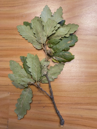
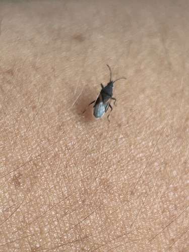
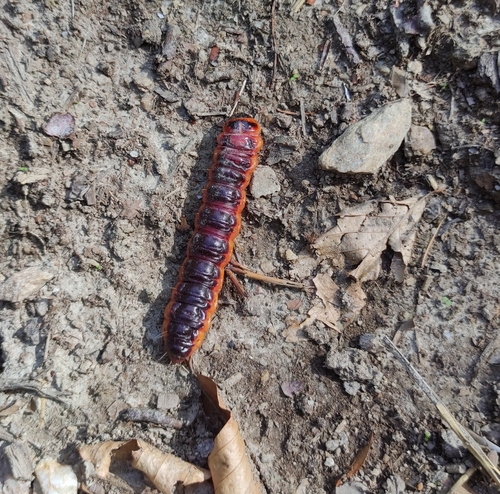
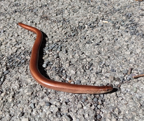
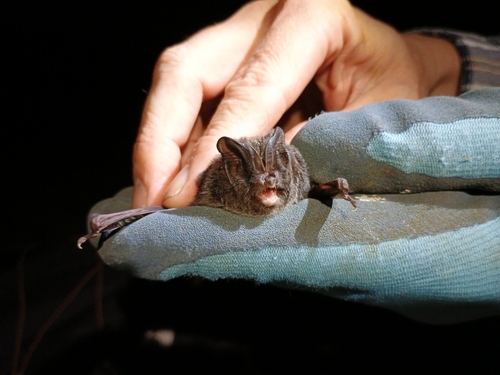
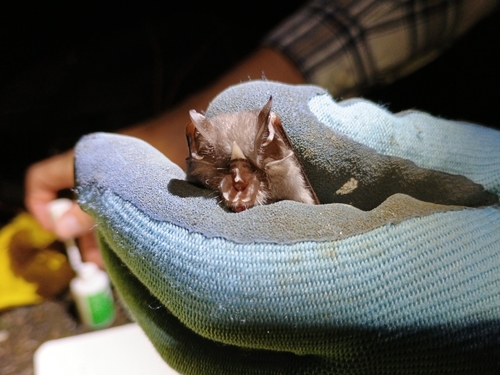
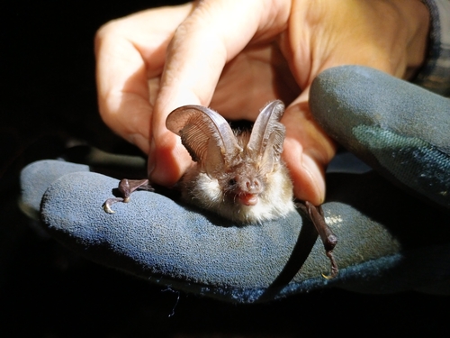
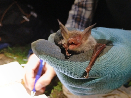
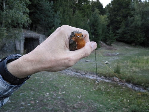
Research-grade observations from iNaturalist (within ~15 mi).
Events
Gallery
Sources
- • Wikipedia
- • Wikidata
- • USGS Earthquake Catalog (global feed)
- • GBIF (Global Biodiversity Information Facility)
- • iNaturalist
- • Open-Meteo / sunrise-sunset.org
- • Wikipedia Pageviews API