Browse / Slovakia / Nitra / Vráble
Vráble
Nitratown

Vráble
Total population
9,381
Founded
1265
Demographic figures from Statistical Office of Slovakia. Overview below cites Wikipedia and may reference a different year.
City facts
Sister cities
Facts from Wikidata (CC0).
Overview
Vráble is a small town in the Nitra District, Nitra Region, western Slovakia.
Read more on WikipediaHistory & geography
History
The oldest evidence of the settlement of Vráble comes from the Neolithic age (6000-2000 BC), where a major settlement was located here. The first written reference is from 1265 as Verebel. In Vráble, there was the oldest post-station. The city kept an agricultural character in the 19th and 20th centuries. Economic development has influenced the architecture of the city. Before the establishment of independent Czechoslovakia in 1918, Vráble was part of Bars County within the Kingdom of Hungary. From 1939 to 1945, it was again part of Hungary as a result of the First Vienna Award.
Geography
It is located in the Danubian Hills on the Žitava river, about south-east-east from Nitra. The cadastral area of the town has an altitude from ASL. There's a small dam called Vodná nádrž Vráble west of the town. The town has three parts: Vráble proper, and the former villages of Dyčka and Horný Ohaj (both annexed 1975).
Excerpted from the corresponding Wikipedia article (CC BY-SA).
Geography
Coordinates & boundaries from the US Census TIGER/Line shapefiles.
Climate
Air quality
Walkability
Amenities nearby
Wildlife & biodiversity
Most-observed species
- Eurasian BlackbirdTurdus merula Linnaeus, 1758 · Aves403
- Great TitParus major Linnaeus, 1758 · Aves382
- Common BuzzardButeo buteo (Linnaeus, 1758) · Aves380
- MallardAnas platyrhynchos Linnaeus, 1758 · Aves370
- Common Wood-PigeonColumba palumbus Linnaeus, 1758 · Aves320
- Gray/Purple HeronArdea cinerea Linnaeus, 1758 · Aves319
- European GoldfinchCarduelis carduelis (Linnaeus, 1758) · Aves294
- Eurasian Blue TitCyanistes caeruleus (Linnaeus, 1758) · Aves283
Citizen-science & research observations from the Global Biodiversity Information Facility (GBIF).
Earthquake history
Most recent
- M 3.9 — 2026-02-2111 km ESE of Šamorín, Slovakia
- M 2.8 — 2018-08-171 km ENE of Tren?ianske Teplice, Slovakia
- M 4 — 2014-01-194 km ESE of Balassagyarmat, Hungary
- M 4.1 — 2013-06-054 km NE of Érsekvadkert, Hungary
- M 4.3 — 2011-01-291 km E of Kecskéd, Hungary
- M 2.9 — 2007-11-186 km SSE of Rimóc, Hungary
Events from the USGS Earthquake Catalog (global) (FDSN Event Web Service).
Photos
Sights & places nearby
Notable people from here


People born within ~10 km, from Wikidata (CC0). Click any name for their Wikipedia article.
Nearby places in Nitra
- Lúčnica nad Žitavou2.5 mi away · pop. 929
- Telince3 mi away · pop. 384
- Tajná3 mi away · pop. 285
- Klasov3.1 mi away · pop. 1,217
- Žitavce3.1 mi away · pop. 339
- Melek3.2 mi away · pop. 440
- Nová Ves nad Žitavou3.4 mi away · pop. 1,271
- Veľké Chyndice3.4 mi away · pop. 334
- Paňa3.7 mi away · pop. 314
- Čifáre4.1 mi away · pop. 649
- Malé Chyndice4.1 mi away · pop. 380
- Michal nad Žitavou4.2 mi away · pop. 700
Geography & sun
Elevation, sunrise/sunset and daylight from Open-Meteo. Solar climatology from NASA POWER.
Nearby airports
Public attention
Pageview totals from the Wikimedia Pageviews API.
Books about this place
Recent natural events nearby
Ground air-quality sensors
Recently spotted species
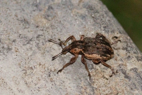
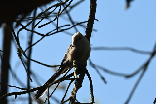
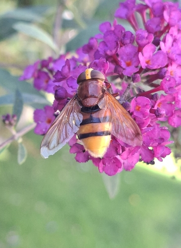
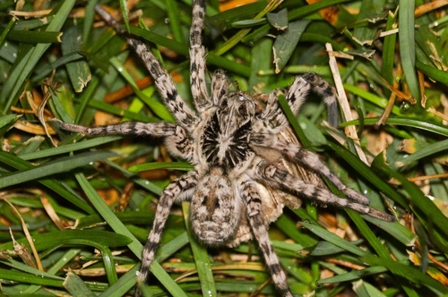
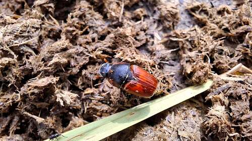
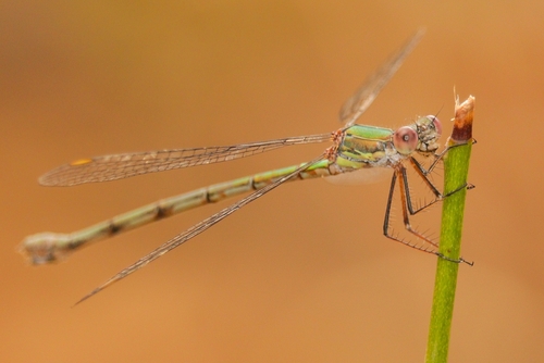
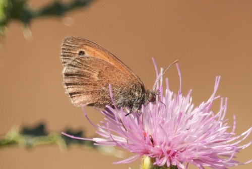
Research-grade observations from iNaturalist (within ~15 mi).
Events
Gallery
Sources
- • Wikipedia
- • Wikidata
- • USGS Earthquake Catalog (global feed)
- • GBIF (Global Biodiversity Information Facility)
- • iNaturalist
- • Open-Meteo / sunrise-sunset.org
- • Wikipedia Pageviews API