Browse / Slovakia / Žilina / Vrútky
Vrútky
Žilinatown

Vrútky
Total population
7,347
Founded
1255
Demographic figures from Statistical Office of Slovakia. Overview below cites Wikipedia and may reference a different year.
City facts
Facts from Wikidata (CC0).
Overview
Vrútky is a town in northern Slovakia, close to the city of Martin. It lies in the historic Turiec region.
Read more on WikipediaHistory & geography
History
The town was first mentioned in 1255 as villa Vrutk. However, a settlement had previously existed, and had the old Slavic name vrutok. By the end of the 13th century, the settlement had been divided into Dolné Vrútky and Horné Vrútky. By 1332, the settlement gained independence and in 1809, the town had almost 300 inhabitants. The construction of the Košice-Bohumín Railway in 1870 and the Salgótarján in 1872, brought economic development and Vrútky gained the status of being a key railway junction. This new status was also reflected in the increased number of inhabitants, which rose from 915 in 1869, to 1,944 in 1880 and 4,345 in 1900. Before the establishment of independent Czechoslovakia in 1918, Vrútky was part of Turóc County within the Kingdom of Hungary. From 1939 to 1945, it was part of the Slovak Republic. Between the years 1949-1954 and 1971-1990 the town was amalgamated with Martin under the name Martin-Vrútky. Vrútky regained independence in the year 1990, when it separated from Martin.
Geography
The town lies at the confluence of Váh and the Turiec, in the Turčianska kotlina, near the Malá Fatra mountain range. It is located north of the city of Martin, with which it shares a public transport system, and from Žilina.
Excerpted from the corresponding Wikipedia article (CC BY-SA).
Geography
Coordinates & boundaries from the US Census TIGER/Line shapefiles.
Climate
Air quality
Walkability
Amenities nearby
Wildlife & biodiversity
Most-observed species
- Norway SprucePicea abies (L.) H.Karst. · Pinopsida540
- BeechFagus sylvatica L. · Magnoliopsida463
- Sycamore [tree]Acer pseudoplatanus L. · Magnoliopsida333
- Early-purple OrchidOrchis mascula (L.) L. · Liliopsida264
- RowanSorbus aucuparia L. · Magnoliopsida255
- Canada yewTaxus baccata L. · Pinopsida252
- Common ChaffinchFringilla coelebs Linnaeus, 1758 · Aves247
- Eurasian BlackbirdTurdus merula Linnaeus, 1758 · Aves245
Citizen-science & research observations from the Global Biodiversity Information Facility (GBIF).
Earthquake history
Most recent
- M 2.8 — 2023-01-122 km ENE of Karviná, Czechia
- M 2.8 — 2018-08-171 km ENE of Tren?ianske Teplice, Slovakia
- M 3.2 — 2008-12-041 km SW of Doubrava, Czechia
- M 4.1 — 2008-11-222 km SW of Godów, Poland
- M 3.5 — 2008-06-052 km SE of Skrzyszów, Poland
- M 2.6 — 2008-04-130 km SW of Doubrava, Czechia
Events from the USGS Earthquake Catalog (global) (FDSN Event Web Service).
Photos
Sights & places nearby
Notable people from here


People born within ~10 km, from Wikidata (CC0). Click any name for their Wikipedia article.
Nearby places in Žilina
- Turčianske Kľačany1.2 mi away · pop. 876
- Lipovec1.2 mi away · pop. 864
- Martin2.5 mi away · pop. 58,794
- Sučany3.2 mi away · pop. 4,672
- Dražkovce4.3 mi away · pop. 1,031
- Diaková4.4 mi away · pop. 250
- Bystrička4.5 mi away · pop. 1,394
- Turčianska Štiavnička4.7 mi away · pop. 849
- Dolný Kalník5 mi away · pop. 52
- Turany5.2 mi away · pop. 4,364
- Košťany nad Turcom5.5 mi away · pop. 1,150
- Nezbudská Lúčka5.5 mi away · pop. 366
Geography & sun
Elevation, sunrise/sunset and daylight from Open-Meteo. Solar climatology from NASA POWER.
Nearby airports
Public attention
Pageview totals from the Wikimedia Pageviews API.
Books about this place
Recent natural events nearby
Ground air-quality sensors
Recently spotted species
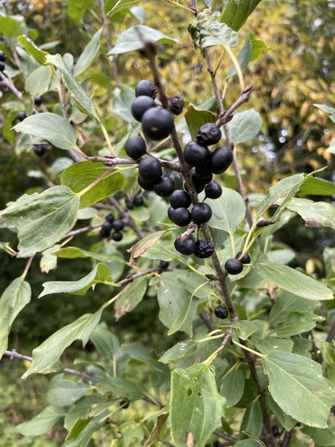
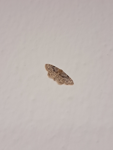
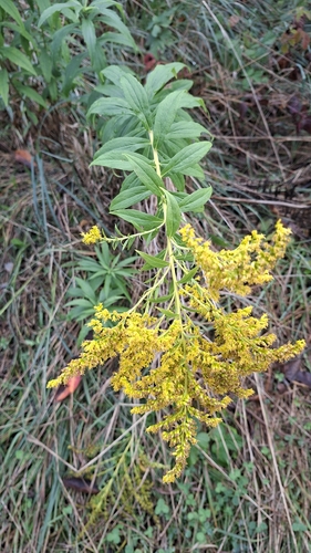
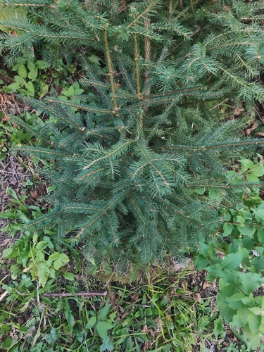
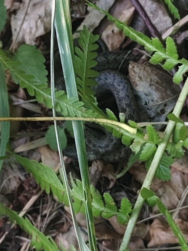
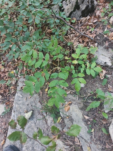
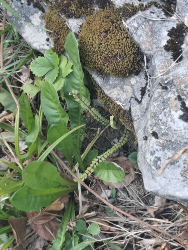
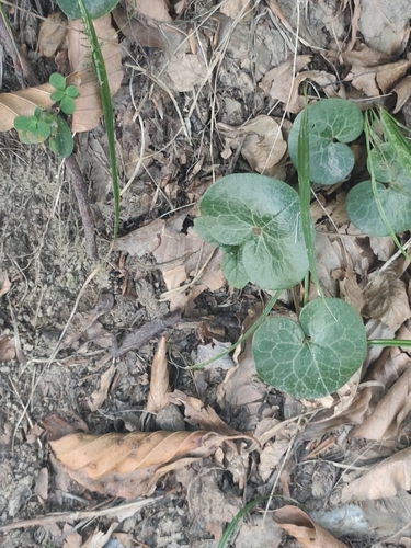
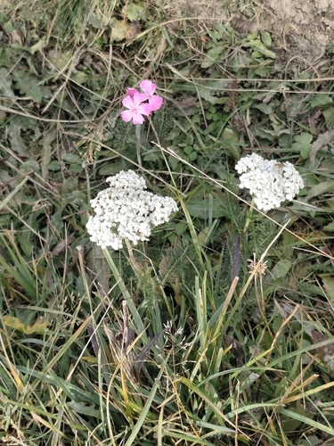
Research-grade observations from iNaturalist (within ~15 mi).
Events
Gallery
Sources
- • Wikipedia
- • Wikidata
- • USGS Earthquake Catalog (global feed)
- • GBIF (Global Biodiversity Information Facility)
- • iNaturalist
- • Open-Meteo / sunrise-sunset.org
- • Wikipedia Pageviews API