Browse / Slovakia / Banská Bystrica / Žarnovica
Žarnovica
Banská Bystricatown

Žarnovica
Total population
6,393
Founded
1332
Demographic figures from Statistical Office of Slovakia. Overview below cites Wikipedia and may reference a different year.
City facts
Facts from Wikidata (CC0).
Overview
Žarnovica is a town and municipality in the Žarnovica District, Banská Bystrica Region in Slovakia. The town is situated in the Hron river valley. It has a population of around 6,000 people.
Read more on WikipediaHistory & geography
History
The first written mention about Žarnovica is dated to 1332.
Geography
It is located in the Žiar Basin in central Slovakia, on the Hron River, between Vtáčnik and Štiavnické vrchy mountain ranges.
Excerpted from the corresponding Wikipedia article (CC BY-SA).
Geography
Coordinates & boundaries from the US Census TIGER/Line shapefiles.
Climate
Air quality
Walkability
Amenities nearby
Wildlife & biodiversity
Earthquake history
Photos
Sights & places nearby
Notable people from here
Nearby places in Banská Bystrica
- Hrabičov4.4 mi away · pop. 618
- Vysoká5.9 mi away · pop. 148
- Repište6.1 mi away · pop. 299
- Píla6.7 mi away · pop. 149
- Podhorie9.1 mi away · pop. 374
- Ladomerská Vieska9.6 mi away · pop. 787
- Žibritov13.6 mi away · pop. 70
- Hronská Breznica13.9 mi away · pop. 265
- Jastrabá14.2 mi away · pop. 574
- Dubové15 mi away · pop. 250
- Horná Ves16 mi away · pop. 750
- Železná Breznica16.1 mi away · pop. 508
Geography & sun
Elevation, sunrise/sunset and daylight from Open-Meteo. Solar climatology from NASA POWER.
Nearby airports
Public attention
Pageview totals from the Wikimedia Pageviews API.
Books about Žarnovica
Search results from Open Library.
Recent natural events nearby
Ground air-quality sensors
Recently spotted species
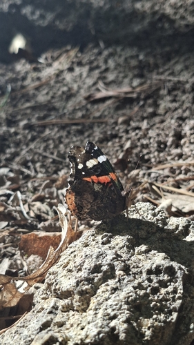



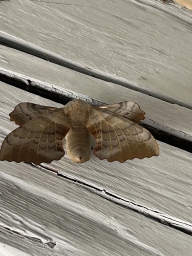

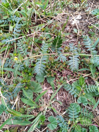
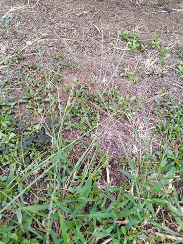
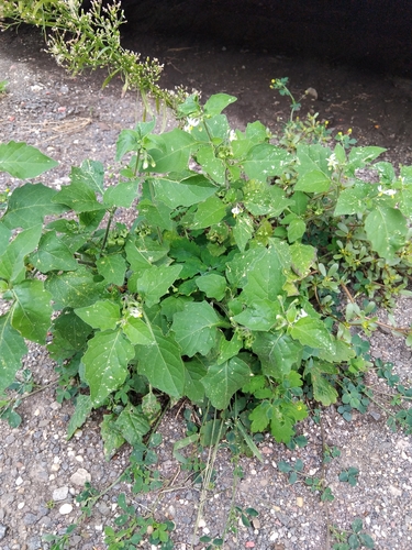
Research-grade observations from iNaturalist (within ~15 mi).
Events
Gallery
Sources
- • Wikipedia
- • Wikidata
- • iNaturalist
- • Open-Meteo / sunrise-sunset.org
- • Wikipedia Pageviews API
- • Open Library