Browse / Slovakia / Trenčín / Zemianske Kostoľany
Zemianske Kostoľany
Trenčínvillage

Zemianske Kostoľany
Total population
1,703
Founded
1331
Demographic figures from Statistical Office of Slovakia. Overview below cites Wikipedia and may reference a different year.
City facts
Facts from Wikidata (CC0).
Overview
Zemianske Kostoľany is a village and municipality in Prievidza District in the Trenčín Region of western Slovakia.
Read more on WikipediaHistory & geography
History
In historical records the village was first mentioned in 1331.
Excerpted from the corresponding Wikipedia article (CC BY-SA).
Geography
Coordinates & boundaries from the US Census TIGER/Line shapefiles.
Climate
Air quality
Walkability
Amenities nearby
Wildlife & biodiversity
Earthquake history
Photos
Sights & places nearby
Notable people from here
Nearby places in Trenčín
- Kamenec pod Vtáčnikom1.3 mi away · pop. 1,844
- Bystričany1.8 mi away · pop. 1,814
- Nováky2.3 mi away · pop. 4,427
- Čereňany3.3 mi away · pop. 1,757
- Lehota pod Vtáčnikom3.6 mi away · pop. 3,844
- Nitrica3.8 mi away · pop. 1,241
- Nitrianske Sučany4.2 mi away · pop. 1,240
- Oslany4.5 mi away · pop. 2,315
- Diviacka Nová Ves4.6 mi away · pop. 1,759
- Horné Vestenice4.7 mi away · pop. 629
- Podhradie4.9 mi away · pop. 318
- Koš5.1 mi away · pop. 1,081
Geography & sun
Elevation, sunrise/sunset and daylight from Open-Meteo. Solar climatology from NASA POWER.
Nearby airports
Public attention
Pageview totals from the Wikimedia Pageviews API.
Books about this place
Recent natural events nearby
Ground air-quality sensors
Recently spotted species

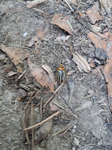

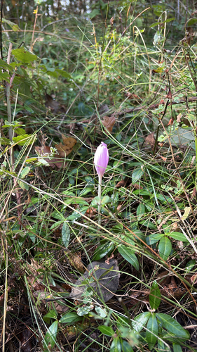
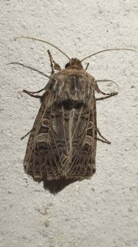


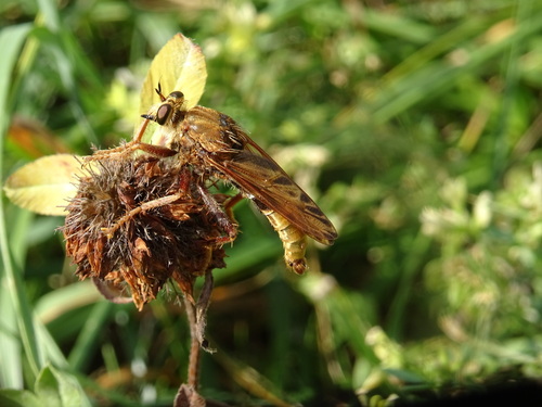

Research-grade observations from iNaturalist (within ~15 mi).
Events
Gallery
Sources
- • Wikipedia
- • Wikidata
- • iNaturalist
- • Open-Meteo / sunrise-sunset.org
- • Wikipedia Pageviews API