Browse / Slovakia / Trnava / Zlaté Klasy
Zlaté Klasy
Trnavavillage

Zlaté Klasy
Total population
3,532
Founded
1352
Demographic figures from Statistical Office of Slovakia. Overview below cites Wikipedia and may reference a different year.
City facts
Facts from Wikidata (CC0).
Overview
Zlaté Klasy is a village and municipality in the Dunajská Streda District in the Trnava Region of south-west Slovakia.
Read more on WikipediaHistory & geography
History
In the 9th century, the territory of Zlaté Klasy became part of the Kingdom of Hungary. From the end of the 9th century until the end of World War I, the village was part of Hungary and fell within the Somorja district of Pozsony County. The village was first recorded in 1239 by its Hungarian name as "Mogor". In 1281, it was mentioned as "Magari", while in 1354 as "Egyhazasmagyary". The village first belonged to the Pozsony Castle, later it became the possession of noble families. Since the 17th century, much of the village was the property of the Poor Clares and the order managed several of its estates from this village. After the Austro-Hungarian army disintegrated in November 1918, Czechoslovak troops occupied the area. After the Treaty of Trianon of 1920, the village became officially part of Czechoslovakia. In November 1938, the First Vienna Award granted the area to Hungary, and it was held by Hungary until 1945. After Soviet occupation in 1945, Czechoslovak administration returned and the village became officially part of Czechoslovakia in 1947. The present-day municipality was formed in 1960 by the unification of the component villages.
Excerpted from the corresponding Wikipedia article (CC BY-SA).
Geography
Coordinates & boundaries from the US Census TIGER/Line shapefiles.
Climate
Air quality
Walkability
Amenities nearby
Wildlife & biodiversity
Earthquake history
Photos
Sights & places nearby
Notable people from here
Geography & sun
Elevation, sunrise/sunset and daylight from Open-Meteo. Solar climatology from NASA POWER.
Nearby airports
Public attention
Pageview totals from the Wikimedia Pageviews API.
Books about this place
Recent natural events nearby
Ground air-quality sensors
Recently spotted species
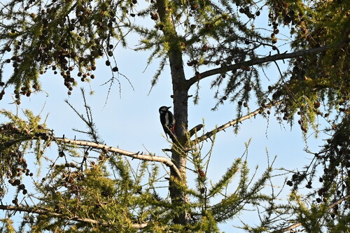
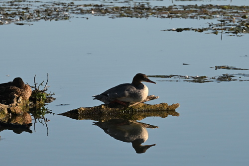
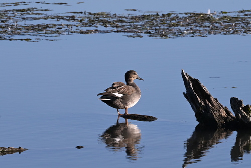
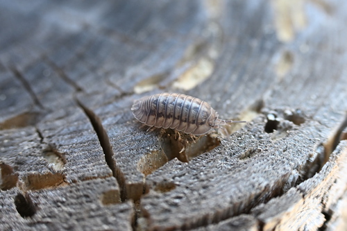
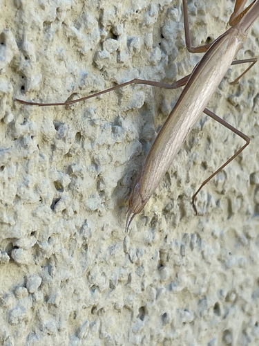
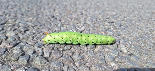
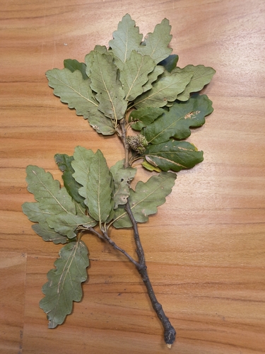
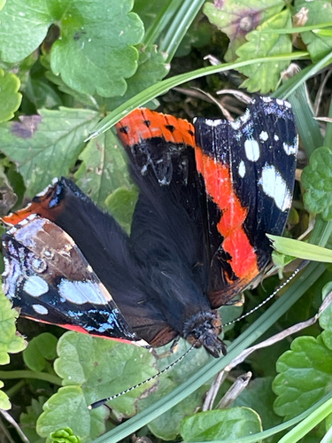
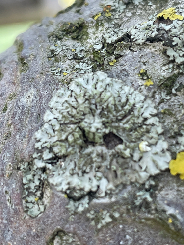
Research-grade observations from iNaturalist (within ~15 mi).
Events
Gallery
Sources
- • Wikipedia
- • Wikidata
- • iNaturalist
- • Open-Meteo / sunrise-sunset.org
- • Wikipedia Pageviews API