Browse / Slovakia / Nitra / Zlaté Moravce
Zlaté Moravce
Nitratown

Zlaté Moravce
Total population
13,289
Founded
1113
Demographic figures from Statistical Office of Slovakia. Overview below cites Wikipedia and may reference a different year.
City facts
Facts from Wikidata (CC0).
Overview
Zlaté Moravce is a town in south-western Slovakia.
Read more on WikipediaHistory & geography
History
The town is situated on the banks of the river Žitava, in the northern part of the Podunajská Heights. Nowadays, it also includes the area of formerly separate boroughs Chyzerovce and Prílepy. Thanks to its favourable location on the natural terrace of the river Žitava, the traces of the continuous settlement of this area go back to the Paleolithic Age. The rich archeological findings in the town area also prove intensive Great Moravian settlement in the 9th-10th century. A unique finding – a golden pectoral cross – is associated with this settlement. The origin of the oldest name of the borough "Morowa" in the Charter of Zobor of 1113 is related to that time as well. This charter is the oldest written proof of the existence of Moravce as Zobor Monastery's property. The borough that was situated on the important route to Tekov was already in the 13th century dominated by a small Roman church surrounded by a cemetery, which was located on the site of today's square.
Geography
It is the capital and the biggest town of Zlaté Moravce District. It is approximately 120 km from the Slovak capital Bratislava and 32 km from Nitra.
Excerpted from the corresponding Wikipedia article (CC BY-SA).
Geography
Coordinates & boundaries from the US Census TIGER/Line shapefiles.
Climate
Air quality
Walkability
Amenities nearby
Wildlife & biodiversity
Earthquake history
Photos
Sights & places nearby
Notable people from here


People born within ~10 km, from Wikidata (CC0). Click any name for their Wikipedia article.
Nearby places in Nitra
- Žitavany1.4 mi away
- Čierne Kľačany2.3 mi away · pop. 1,133
- Martin nad Žitavou2.3 mi away
- Machulince2.5 mi away · pop. 1,048
- Topoľčianky2.6 mi away · pop. 2,874
- Hosťovce3 mi away · pop. 771
- Sľažany3.3 mi away
- Tesárske Mlyňany3.9 mi away · pop. 1,707
- Obyce3.9 mi away · pop. 1,524
- Choča4 mi away · pop. 501
- Volkovce4.1 mi away · pop. 1,020
- Veľké Vozokany4.2 mi away · pop. 498
Geography & sun
Elevation, sunrise/sunset and daylight from Open-Meteo. Solar climatology from NASA POWER.
Nearby airports
Public attention
Pageview totals from the Wikimedia Pageviews API.
Books about Zlaté Moravce
Search results from Open Library.
Recent natural events nearby
Ground air-quality sensors
Recently spotted species
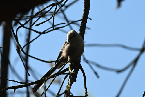
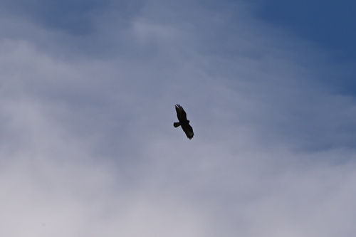
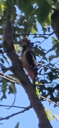
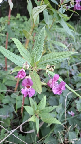
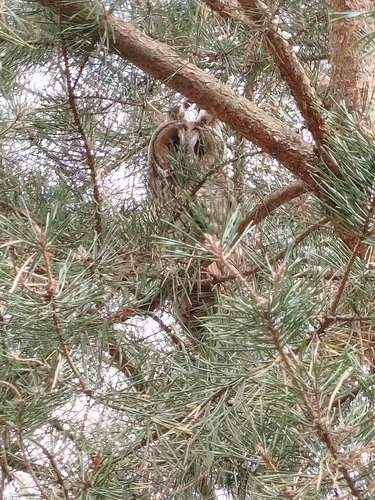
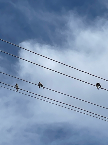
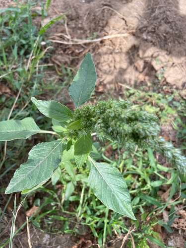
Research-grade observations from iNaturalist (within ~15 mi).
Events
Gallery
Sources
- • Wikipedia
- • Wikidata
- • iNaturalist
- • Open-Meteo / sunrise-sunset.org
- • Wikipedia Pageviews API
- • Open Library