Browse / Senegal / Senegal / Dakar
Dakar
Senegalcity

Dakar
Total population
2,396,800

Air quality index
Demographic figures from ANSD Senegal. Overview below cites Wikipedia and may reference a different year.
City facts
Sister cities
Facts from Wikidata (CC0).
Overview
Dakar is the capital and largest city of Senegal. The department of Dakar has a population of 1,278,469, and the population of the Dakar metropolitan area was at 4.0 million in 2023.
Read more on WikipediaHistory & geography
History
The Cap-Vert peninsula was settled no later than the 15th century by the Lebu people, an aquacultural subgroup of the Wolof ethnic group. The original villages—Ouakam, Ngor, Yoff and Hann—still constitute distinctively Lebou neighborhoods of the city today. In 1444, the Portuguese reached the Bay of Dakar. Peaceful contact was finally opened in 1456 by Diogo Gomes, and the bay was subsequently referred to as the "Angra de Bezeguiche" (after the name of the local ruler). The bay of "Bezeguiche" would go on to serve as a critical stop for the Portuguese India Armadas of the early 16th century, where large fleets would routinely stop, both on their outward and return journeys from India, to repair, collect fresh water from the rivulets and wells along the Cap-Vert shore and trade for provisions with the local people for their remaining voyage.) A town grew on the bay that was one of the major ports of Cayor, a constituent kingdom of the Jolof Empire that broke away in 1549. The Portuguese founded a settlement on the island of Gorée (then known as the island of Bezeguiche or Palma), which by 1536 they began to use as a base for slave exportation. A new Lebou village, called Ndakaaru, was established directly across from Gorée in the 17th century to service the European trading factory with food and drinking water. Gorée was captured by the United Netherlands in 1588, which gave it its present name (spelled Goeree, after Goeree-Overflakkee in the Netherlands). The island switched hands between the Portuguese and Dutch several more times before falling to the English under Admiral Robert Holmes on January 23, 1664, and finally to the French in 1677. Though under continuous French administration since, multiracial people, descended from Dutch and French traders and…
Geography
Dakar is located on the Cap-Vert peninsula on the Atlantic coast and is the westernmost city on the African mainland. Dakar has an ocean-influenced tropical hot semi-arid climate (Köppen climate classification: BSh), with a short rainy season and a lengthy dry season. Dakar's rainy season lasts from July to October, while the dry season covers the remaining eight months. The city sees approximately of rainfall per year. Dakar between December and May is usually very warm with daily temperatures around . Nights during this time of the year are warm, some . However, between May and November, the city becomes decidedly hotter with daily highs reaching and night lows a little bit above . Notwithstanding this hotter season, Dakar's weather is far from being so hot as experienced in inland Sahelian cities like Niamey and N'Djamena, where temperatures hover above for much of the year. Dakar is cooled year-round by sea breezes. {|class="wikitable" |+Dakar mean sea temperature |- !Jan !Feb !Mar !Apr !May !Jun !Jul !Aug !Sep !Oct !Nov !Dec !Year |- | | | | | | | | | | | | | |} A 2019 paper published in PLOS One estimated that under Representative Concentration Pathway 4.5, a "moderate" scenario of climate change where global warming reaches ~ by 2100, the climate of Dakar in the year 2050 would most closely resemble the current climate of Praia in Cape Verde. The annual temperature would increase by , and the temperature of the warmest and the coldest month by and , respectively. According to Climate Action Tracker, the current warming trajectory appears consistent with , which closely matches RCP 4.5. Moreover, according to the 2022 IPCC Sixth Assessment Report, Dakar is one of 12 major African cities (Abidjan, Alexandria, Algiers, Cape Town, Casablanca, Dakar, Dar es…
Excerpted from the corresponding Wikipedia article (CC BY-SA).
Geography
Coordinates & boundaries from the US Census TIGER/Line shapefiles.
Climate
10-year averages from ERA5 reanalysis (Open-Meteo).
Air quality
Current readings from Open-Meteo Air Quality API (Copernicus CAMS European reanalysis).
Walkability
Amenities nearby
Wildlife & biodiversity
Most-observed species
- Black KiteMilvus migrans (Boddaert, 1783) · Aves533
- Pied CrowCorvus albus Statius Muller, 1776 · Aves456
- Laughing DoveSpilopelia senegalensis (Linnaeus, 1766) · Aves426
- Great Cormorant/European ShagPhalacrocorax carbo (Linnaeus, 1758) · Aves364
- House SparrowPasser domesticus (Linnaeus, 1758) · Aves355
- African SilverbillEuodice cantans (Gmelin, 1789) · Aves263
- Common BulbulPycnonotus barbatus (Desfontaines, 1789) · Aves262
- Red-billed QueleaQuelea quelea (Linnaeus, 1758) · Aves233
Citizen-science & research observations from the Global Biodiversity Information Facility (GBIF).
Earthquake history
Events from the USGS Earthquake Catalog (global) (FDSN Event Web Service).
Photos

Audition de Macky Sall-2009

A-POIS Giuditta Nelli - Senegal 2012 - Dakar, Rond point sur le bus

A-POIS Giuditta Nelli - Senegal 2012 - Dakar, Sur le bus à Colobane 2

A-POIS Giuditta Nelli - Senegal 2012 - Dakar, Sur le bus à Colobane

A-POIS Giuditta Nelli - Senegal 2012 - Dakar, Vues avec issue de secour sur la gare routiere

Place de l'Obélisque Dakar

Marguerite kir

Dakar 27. veljače 2026

Dakar 27.2.2026

DAKAR 27.2.2026

Dakar u veljači

Spomenik afričke renesanse u Senegalu 2026
Geo-tagged photos from Wikimedia Commons (CC-licensed; click any photo for license details).
Sights & places nearby
Notable people from here


People born within ~10 km, from Wikidata (CC0). Click any name for their Wikipedia article.
Nearby places in Senegal
Geography & sun
Elevation, sunrise/sunset and daylight from Open-Meteo. Solar climatology from NASA POWER.
Nearby airports
Public attention
Pageview totals from the Wikimedia Pageviews API.
Books about Dakar

Search results from Open Library.
Recent natural events nearby
Ground air-quality sensors
Recently spotted species
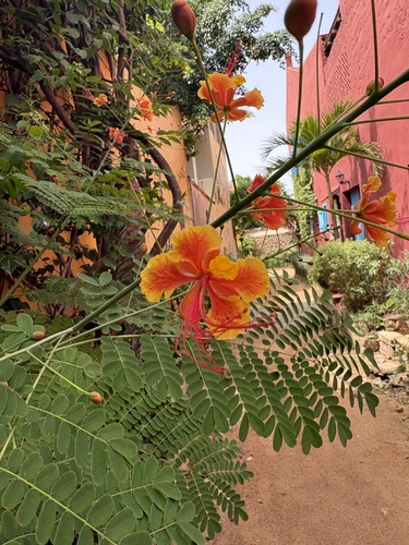
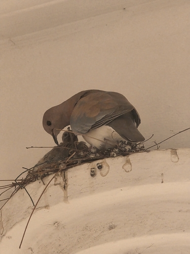
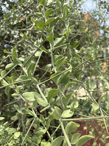
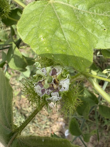
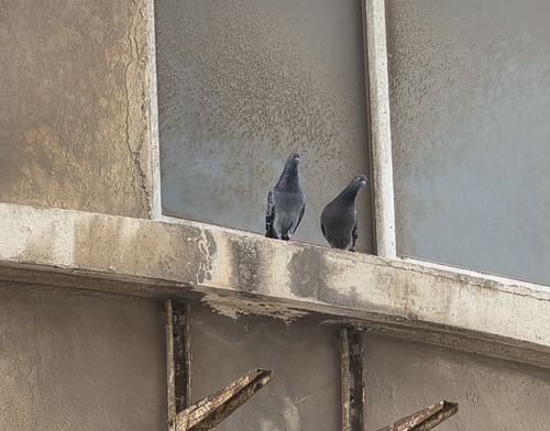
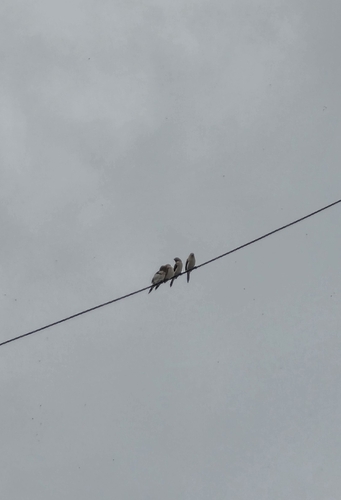
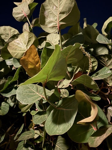
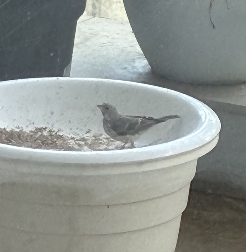
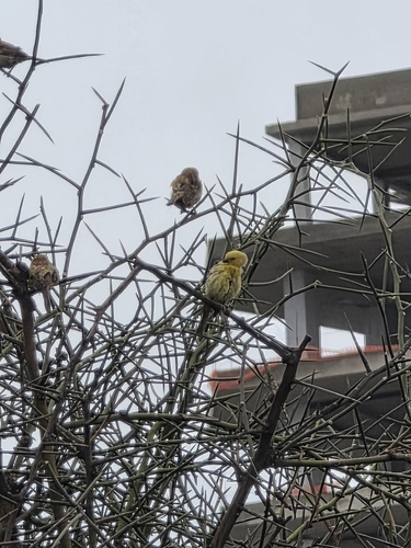
Research-grade observations from iNaturalist (within ~15 mi).
Events
Notable, recurring, and historical events associated with Dakar, sourced from Wikidata.
- Jan 1, 2024
- Q18610691Jan 1, 2013award ceremony
- World Festival of Black Artsfestival
month-long culture and arts festival that takes place in Africa, featuring artists and performers from around the African Diaspora
- Q136029813festival
Source: Wikidata (CC0).
Gallery
Geotagged photos within ~6 miles of Dakar, from Wikimedia Commons contributors.
0 mi0.1 mi 0.1 mi
 0.2 mi
 0.2 mi0.3 mi0.4 mi0.4 mi0.4 mi0.4 mi0.4 mi0.4 mi0.4 mi0.4 mi0.4 mi
.jpg) 0.5 mi
0.5 mi_(2).jpg) 0.5 mi
0.5 mi.jpg) 0.5 mi
0.5 mi 0.5 mi
 0.5 mi
 0.5 mi
 0.5 mi
 0.5 mi
 0.5 mi
Photos via Wikimedia Commons — see each image page for license & attribution.
Sources
- • Wikipedia
- • Open-Meteo (ERA5 reanalysis)
- • Wikimedia Commons
- • Wikidata
- • Open-Meteo Air Quality (CAMS)
- • USGS Earthquake Catalog (global feed)
- • GBIF (Global Biodiversity Information Facility)
- • iNaturalist
- • Open-Elevation
- • Open-Meteo / sunrise-sunset.org
- • Wikipedia Pageviews API
- • Open Library