Browse / Senegal / Senegal / Diourbel
Diourbel
Senegalcity
Total population
100,445
Air quality index
Demographic figures from ANSD Senegal. Overview below cites Wikipedia and may reference a different year.
City facts
Sister cities
Facts from Wikidata (CC0).
Overview
Diourbel is a town and urban commune in Senegal lying east of Thiès. It is known for its mosque and local groundnut industry and is the capital of the Diourbel Region. The population in 2023 was 157,554.
Read more on WikipediaHistory & geography
Geography
Coordinates & boundaries from the US Census TIGER/Line shapefiles.
Climate
Air quality
Current readings from Open-Meteo Air Quality API (Copernicus CAMS European reanalysis).
Walkability
Amenities nearby
Wildlife & biodiversity
Most-observed species
- Cattle EgretBubulcus ibis (Linnaeus, 1758) · Aves29
- Pied CrowCorvus albus Statius Muller, 1776 · Aves25
- Black KiteMilvus migrans (Boddaert, 1783) · Aves24
- White-backed VultureGyps africanus Salvadori, 1865 · Aves17
- Chestnut-bellied StarlingLamprotornis pulcher (Statius Muller, 1776) · Aves14
- Laughing DoveSpilopelia senegalensis (Linnaeus, 1766) · Aves14
- Rufous-crowned RollerCoracias naevius Daudin, 1800 · Aves10
- Hooded VultureNecrosyrtes monachus (Temminck, 1823) · Aves10
Citizen-science & research observations from the Global Biodiversity Information Facility (GBIF).
Earthquake history
Events from the USGS Earthquake Catalog (global) (FDSN Event Web Service).
Photos
Sights & places nearby
Notable people from here


People born within ~10 km, from Wikidata (CC0). Click any name for their Wikipedia article.
Nearby places in Senegal
Geography & sun
Elevation, sunrise/sunset and daylight from Open-Meteo. Solar climatology from NASA POWER.
Nearby airports
Public attention
Pageview totals from the Wikimedia Pageviews API.
Books about Diourbel


Search results from Open Library.
Recent natural events nearby
Ground air-quality sensors
Recently spotted species
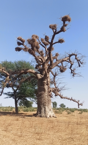
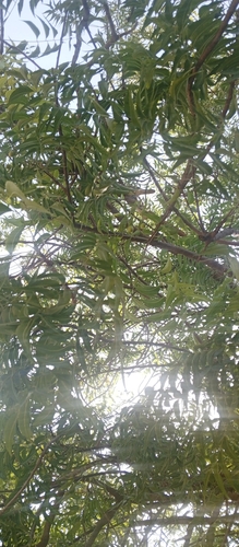
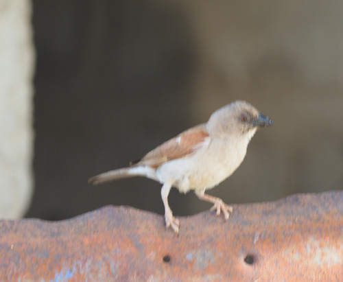
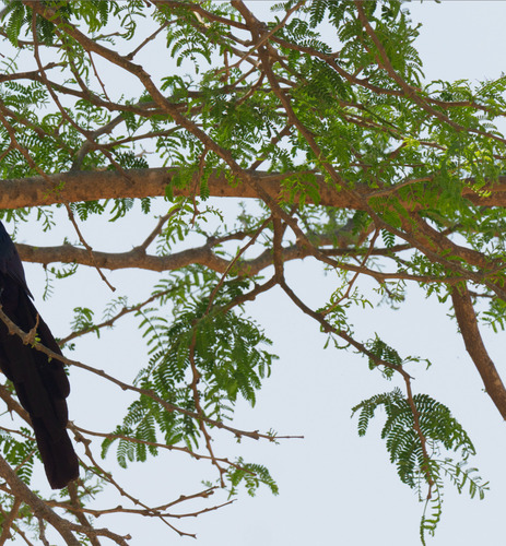
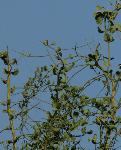
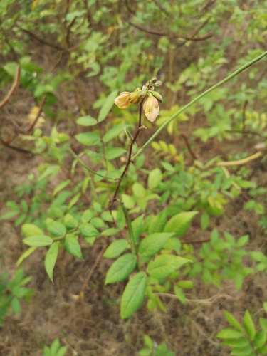
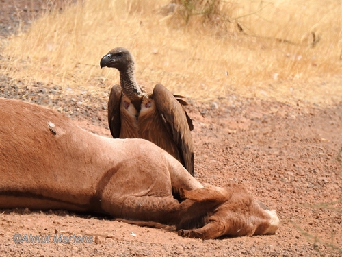
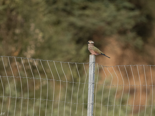
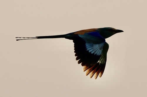
Research-grade observations from iNaturalist (within ~15 mi).
Events
Gallery
Sources
- • Wikipedia
- • Wikidata
- • Open-Meteo Air Quality (CAMS)
- • USGS Earthquake Catalog (global feed)
- • GBIF (Global Biodiversity Information Facility)
- • iNaturalist
- • Open-Elevation
- • Open-Meteo / sunrise-sunset.org
- • Wikipedia Pageviews API
- • Open Library