Browse / Senegal / Senegal / Fatick
Fatick
Senegalcity
Demographic figures from ANSD Senegal. Overview below cites Wikipedia and may reference a different year.
City facts
Facts from Wikidata (CC0).
Overview
Fatick is a town and urban commune in Senegal, located between M'bour and Kaolack and inhabited by the Serer people. Its 2023 population was at 39,361. It is the capital of the Fatick Region and the Fatick Department.
Read more on WikipediaHistory & geography
History
The city has several ancient sites classified as historical monuments and added to the World heritage list. There is also the site of Mind Ngo Mindiss, located in the Sine River, where libations and offerings are made, the site of Ndiobaye, where traditional ceremonies takes place, and Ndeb Jab, which houses a sacred tree at Ndiaye-Ndiaye. These sites are sacred places in Serer religion. The Xooy ceremony (or Khoy), performed by the Serer high priests and priestesses (the Saltigues), takes place at Fatick once a year.
Geography
Fatick is located "in the savanna belt of the West African Sahel, a sandy arid region south of the Sahara desert." The nearest towns are Nerane, Pourham, Mbirk Pourham and Tok. Dakar, the capital of Senegal, is located 155 km away.
Excerpted from the corresponding Wikipedia article (CC BY-SA).
Geography
Coordinates & boundaries from the US Census TIGER/Line shapefiles.
Climate
Air quality
Walkability
Amenities nearby
Wildlife & biodiversity
Earthquake history
Photos
Sights & places nearby
Notable people from here


People born within ~10 km, from Wikidata (CC0). Click any name for their Wikipedia article.
Nearby places in Senegal
Geography & sun
Elevation, sunrise/sunset and daylight from Open-Meteo. Solar climatology from NASA POWER.
Nearby airports
Public attention
Pageview totals from the Wikimedia Pageviews API.
Books about Fatick


Search results from Open Library.
Recent natural events nearby
Ground air-quality sensors
Recently spotted species
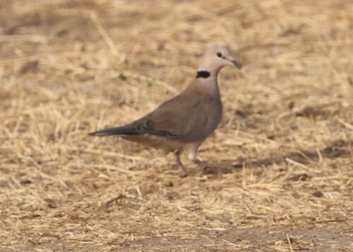
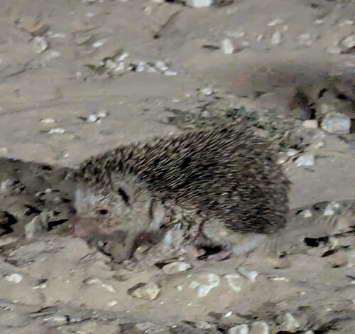
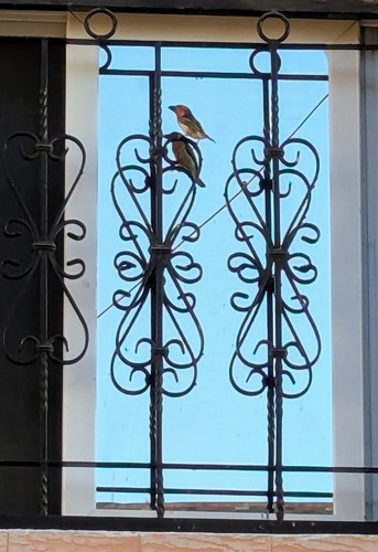
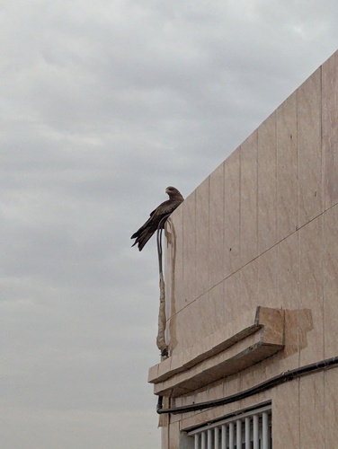
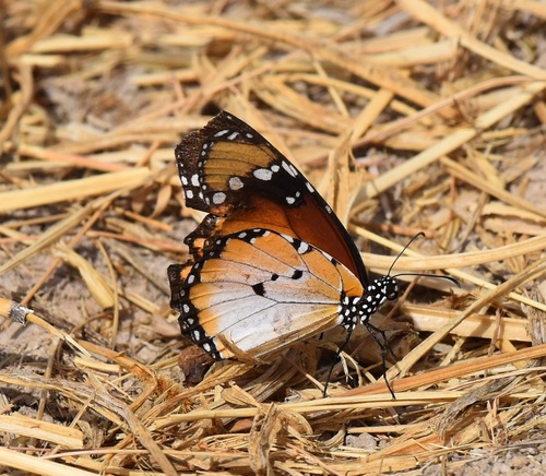
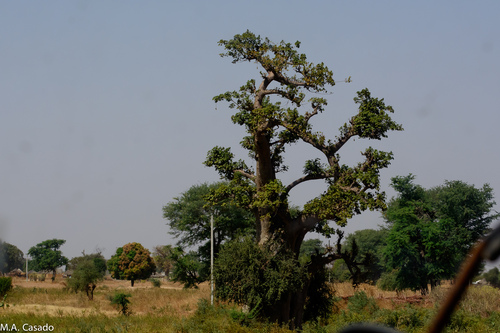
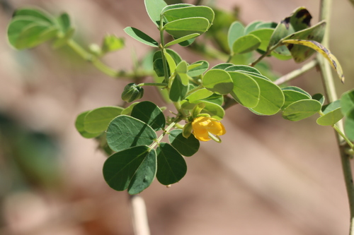
Research-grade observations from iNaturalist (within ~15 mi).
Events
Gallery
Sources
- • Wikipedia
- • Wikidata
- • iNaturalist
- • Open-Meteo / sunrise-sunset.org
- • Wikipedia Pageviews API
- • Open Library