Browse / Senegal / Senegal / Kaolack
Kaolack
Senegalcity

Kaolack
Total population
172,305
Demographic figures from ANSD Senegal. Overview below cites Wikipedia and may reference a different year.
City facts
Facts from Wikidata (CC0).
Overview
Kaolack is a town with a population of 298,904 on the north bank of the Saloum River about 100 kilometres (62 mi) from its mouth and the N1 road in Senegal. It is the capital of the Kaolack Region, which borders The Gambia to the south. Kaolack is an important regional market town and is Senegal's main peanut trading and processing center. As the center of the Ibrahimiyya branch of the Tijaniyyah Sufi order founded by Ibrayima Ñas, it is also a major center of Islamic education. The Leona Niassene mosque (right) in Kaolack is one of the largest and best known in Senegal.
Read more on WikipediaHistory & geography
History
Kaolack is the successor city to Kahone, historic capital of the kingdom of Saloum. Originally marked by a sacred tree on the right bank of the Saloum River facing the island of Kouyong, Kahone consisted of a number of distinct neighborhoods separated by open fields, each under the jurisdiction of a different dignitary or official. Kaolack, downriver, was one of these. One legend holds that it was founded by Sega and Massar, two brothers of Fulani origin from Macina in today's Mali. Sega’s son, Alioune Mboutou Sow, later served as the Chef de Canton of Kaolack. The Mboutou family house still stands in the middle of the town centre. Mboutou Sow's daughter Ramatoulaye (Rahmat'oullah) was given in marriage to the son of Amadou Bamba, hence the saying Kaolack worrou Mboutou (Kaolack, Mboutou's fiefdom). An alternative telling is that Kaolack was founded by a princess of Baol who took shelter there under the protection of the Maad Saloum Mbegan Ndour, whom she later married, and founded the traditional cult of the West African Nile monitor, known as mbossé in Wolof, the totem of the city. Mboutou Sow arrived later, and became chief through his erudition. French interests in the Saloum River increased in the early 19th century as legitimate articles of trade were sought to replace trade in slaves. By mid-century, peanut production had been introduced to the kingdom of Saloum and, with the permission of its king, a fortified factory was established by the French on the riverfront at Kaolack, more favorably placed for shipping than Kahone. They laid out a first grid of lots in 1860, in what would become the city center or "Escale" neighborhood. The construction of a rail spur from the port to the Dakar-Niger line in 1911 caused the town to boom as a peanut processing and…
Excerpted from the corresponding Wikipedia article (CC BY-SA).
Geography
Coordinates & boundaries from the US Census TIGER/Line shapefiles.
Climate
Air quality
Walkability
Amenities nearby
Wildlife & biodiversity
Earthquake history
Photos
Sights & places nearby
Notable people from here


People born within ~10 km, from Wikidata (CC0). Click any name for their Wikipedia article.
Nearby places in Senegal
Geography & sun
Elevation, sunrise/sunset and daylight from Open-Meteo. Solar climatology from NASA POWER.
Nearby airports
Public attention
Pageview totals from the Wikimedia Pageviews API.
Books about Kaolack


Search results from Open Library.
Recent natural events nearby
Ground air-quality sensors
Recently spotted species
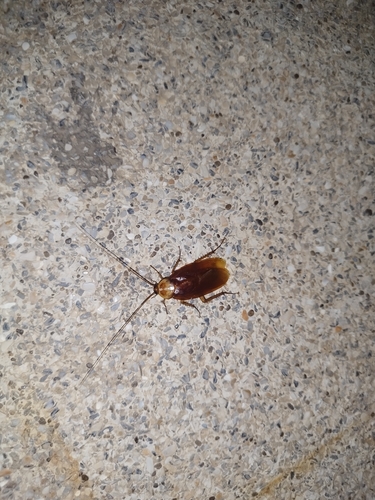
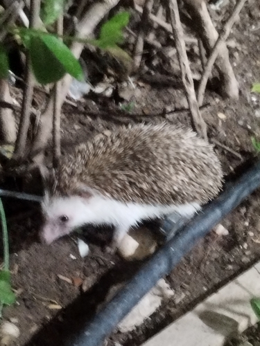
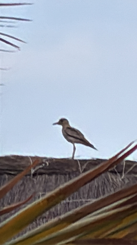
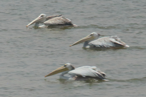
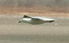
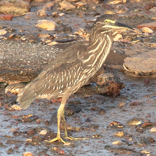
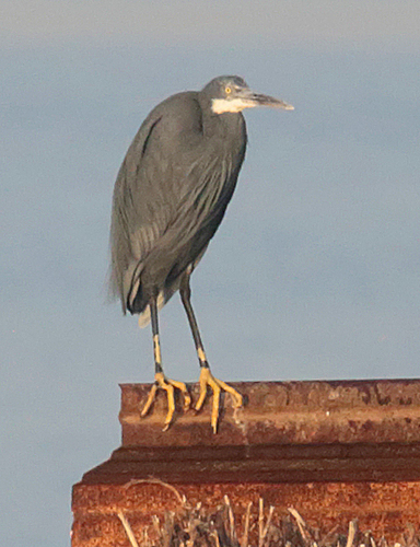
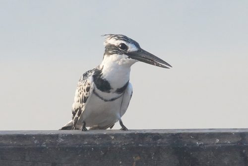
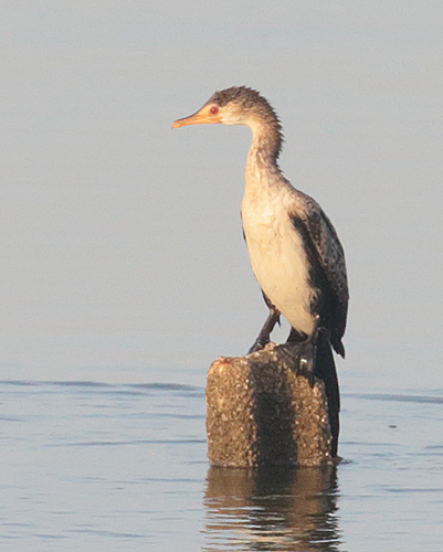
Research-grade observations from iNaturalist (within ~15 mi).
Events
Gallery
Sources
- • Wikipedia
- • Wikidata
- • iNaturalist
- • Open-Meteo / sunrise-sunset.org
- • Wikipedia Pageviews API
- • Open Library