Browse / Senegal / Senegal / Koungheul
Koungheul
Senegaltown
No image yet
Elevation20 m
Coordinates13.98°, -14.80°
Demographic figures from ANSD Senegal. Overview below cites Wikipedia and may reference a different year.
Loading additional data from public sources…0 / 11
CensusWikipediaWeatherPlacesPeopleEnvironmentHealth & SchoolsRelatedGeography & CultureLive MonitoringEvents & Gallery
0% completeCity facts
Elevation
20 m
Sister cities
Facts from Wikidata (CC0).
Overview
Koungheul is a town and urban commune in central Senegal in the department of the same name. It lies in the region of Kaffrine and is situated between the towns of Kaolack and Tambacounda. The population is 31,149, most of whom are Wolof people.
Read more on WikipediaHistory & geography
Geography
Latitude
13.9796
Longitude
-14.8035
Water area
—
Coordinates & boundaries from the US Census TIGER/Line shapefiles.
Climate
Air quality
Walkability
Amenities nearby
Wildlife & biodiversity
Earthquake history
Photos
Sights & places nearby
Notable people from here
People born within ~10 km, from Wikidata (CC0). Click any name for their Wikipedia article.
Nearby places in Senegal
Geography & sun
Nearby airports
Public attention
Books about this place
Recent natural events nearby
Ground air-quality sensors
Recently spotted species
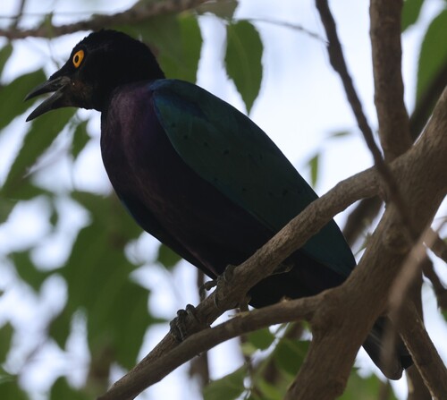
Purple Starling
Lamprotornis purpureus
Seen 2026-04-16
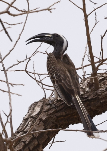
African Gray Hornbill
Lophoceros nasutus
Seen 2026-04-16
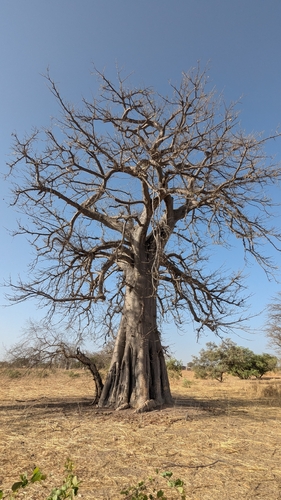
African baobab
Adansonia digitata
Seen 2026-04-03
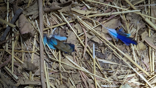
Abyssinian Roller
Coracias abyssinicus
Seen 2026-04-02
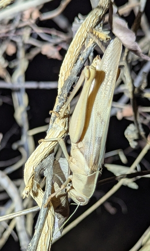
Acanthacris ruficornis citrina
Acanthacris ruficornis citrina
Seen 2026-04-02
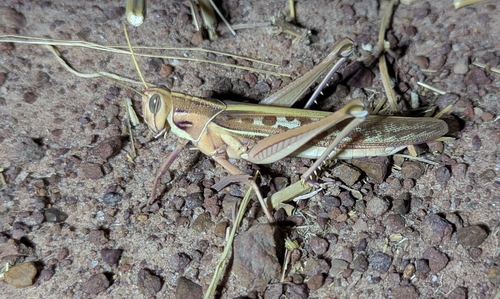
Ornithacris cavroisi
Ornithacris cavroisi
Seen 2026-04-02
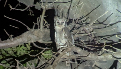
Verreaux's Eagle-Owl
Ketupa lactea
Seen 2026-04-02
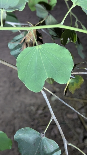
Camel's Foot
Piliostigma reticulatum
Seen 2026-04-02
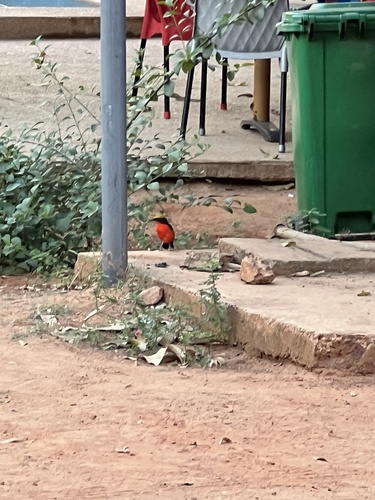
Yellow-crowned Gonolek
Laniarius barbarus
Seen 2025-12-01
Research-grade observations from iNaturalist (within ~15 mi).
Events
Gallery
Sources
- • Wikipedia
- • Wikidata
- • iNaturalist