Browse / Senegal / Senegal / Paoskoto
Paoskoto
Senegalvillage
Total population
2,411
Demographic figures from ANSD Senegal. Overview below cites Wikipedia and may reference a different year.
City facts
Facts from Wikidata (CC0).
Overview
Paoskoto is a village and rural commune in Paoskoto Arrondissement in the Nioro du Rip Department of the Kaolack Region of Senegal, located near the border with the Gambia.
Read more on WikipediaHistory & geography
History
On 30 November 1865, Maba Diakhou Bâ battled against Émile Pinet-Laprade at the Battle of Paoskoto, in a notable historical battle between the valiant soldiers of the Nioro Du Rip Kingdom against the French colonizers. The battle was a humiliating defeat for the French as they were ambushed and suffered considerable losses compared to the other side. The French colonizers, led by Émile Pinet-Laprade, then retreated to Djoloff to regroup. This epic battle is largely celebrated even today in Senegal.
Geography
The nearest localities are Keur Oumar Tounkara, Dafar, Keur Gaye Hamdalaye, Mbiteyene, Tayyiba Niassène, Keur bidja Uri Keur Ali Gueye, Nioro du Rip and Diamaguene.
Excerpted from the corresponding Wikipedia article (CC BY-SA).
Geography
Coordinates & boundaries from the US Census TIGER/Line shapefiles.
Climate
Air quality
Walkability
Amenities nearby
Wildlife & biodiversity
Earthquake history
Photos
Sights & places nearby
Notable people from here
Nearby places in Senegal
Geography & sun
Elevation, sunrise/sunset and daylight from Open-Meteo. Solar climatology from NASA POWER.
Nearby airports
Public attention
Pageview totals from the Wikimedia Pageviews API.
Books about this place
Recent natural events nearby
Ground air-quality sensors
Recently spotted species
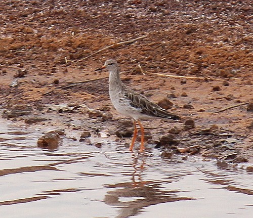
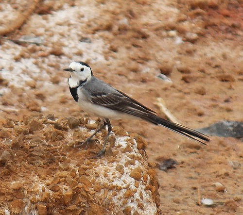
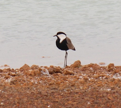
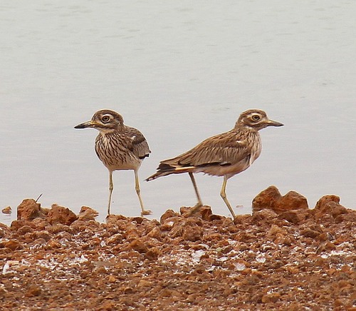

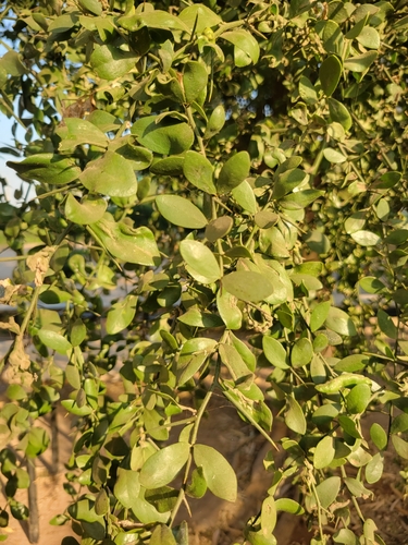
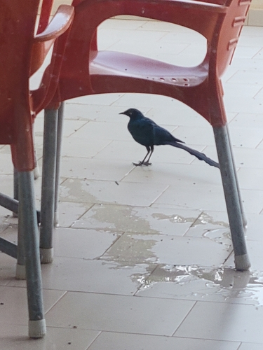
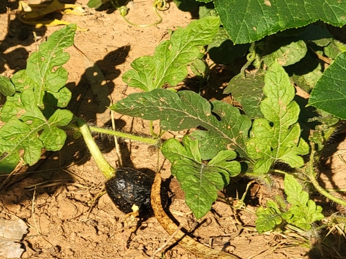
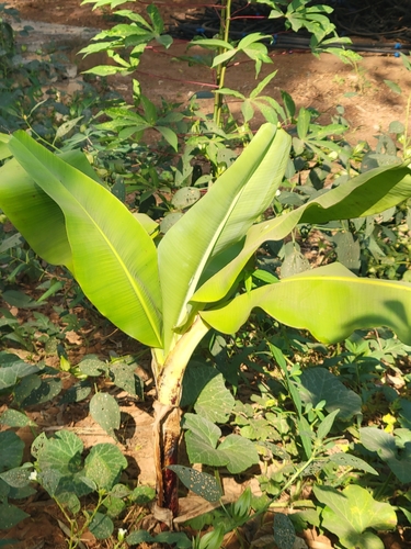
Research-grade observations from iNaturalist (within ~15 mi).
Events
Gallery
Sources
- • Wikipedia
- • Wikidata
- • iNaturalist
- • Open-Elevation
- • Open-Meteo / sunrise-sunset.org
- • Wikipedia Pageviews API