Browse / Senegal / Senegal / Pikine
Pikine
Senegalcity

Pikine
Founded
1952
Demographic figures from ANSD Senegal. Overview below cites Wikipedia and may reference a different year.
City facts
Facts from Wikidata (CC0).
Overview
Pikine is a city and the capital of the Pikine department, in the Dakar region in Senegal. The largest suburb of Senegalese capital Dakar, as of the 2013 Census, it had a population of 1,170,791. It is the second-largest city in Senegal, behind Dakar.
Read more on WikipediaHistory & geography
History
Situated on a former French military base, illegal immigrants were sent to the site of Pikine in the early 1950s to ease a growing housing crisis in the Cap-Vert. Incorporated by colonial officials in 1952, the community's fast growth caused it to surpass its legal boundaries and urbanize, and had a population on 50,000 by the end of the 1950s. More people moved to the city from eastern rural towns during the 1970s for job opportunities, growing from 30,000 people in 1960, to 650,000 by 1988. Since the 1980s, the city has been unzoned. In 1998, Pikine was described by essayist as a city "without a real history". The Mbeubeusse Landfill, the Dakar region's sole waste facility, is situated in Pikine.
Excerpted from the corresponding Wikipedia article (CC BY-SA).
Geography
Coordinates & boundaries from the US Census TIGER/Line shapefiles.
Climate
Air quality
Walkability
Amenities nearby
Wildlife & biodiversity
Earthquake history
Photos
Sights & places nearby
Notable people from here


People born within ~10 km, from Wikidata (CC0). Click any name for their Wikipedia article.
Nearby places in Senegal
Geography & sun
Elevation, sunrise/sunset and daylight from Open-Meteo. Solar climatology from NASA POWER.
Nearby airports
Public attention
Pageview totals from the Wikimedia Pageviews API.
Books about Pikine

Search results from Open Library.
Recent natural events nearby
Ground air-quality sensors
Recently spotted species
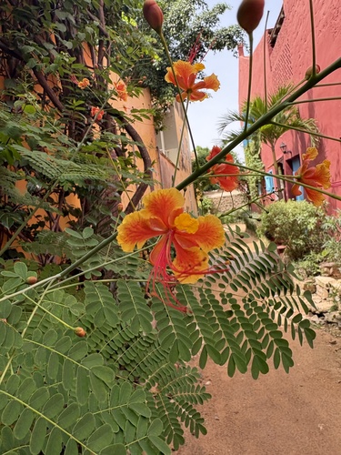

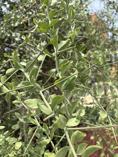
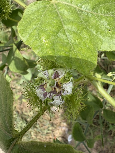
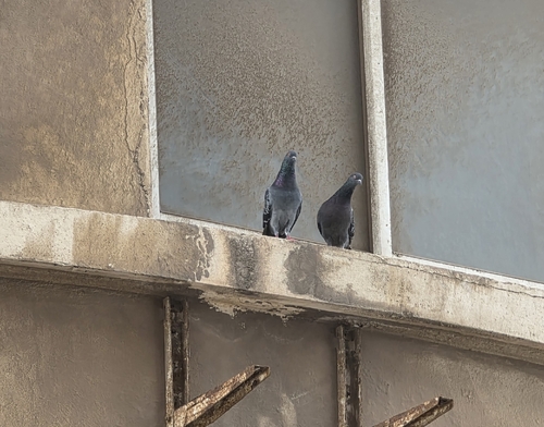
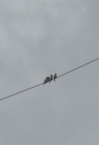
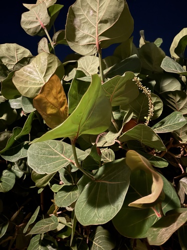
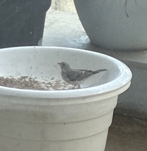
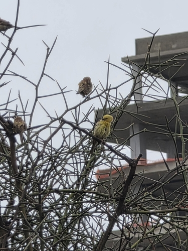
Research-grade observations from iNaturalist (within ~15 mi).
Events
Gallery
Sources
- • Wikipedia
- • Wikidata
- • iNaturalist
- • Open-Meteo / sunrise-sunset.org
- • Wikipedia Pageviews API
- • Open Library