Browse / Senegal / Senegal / Sédhiou
Sédhiou
Senegaltown

Sédhiou
Total population
20,141
Demographic figures from ANSD Senegal. Overview below cites Wikipedia and may reference a different year.
City facts
Facts from Wikidata (CC0).
Overview
Sédhiou is a town of Senegal, in Casamance area, nearby the Casamance river, with a population of 31,511 in 2023. It is the capital of the Sédhiou Region.
Read more on WikipediaHistory & geography
History
Sedhiou was originally a Banyun settlement located at an important river crossing for trade caravans as well as the uppermost limit of the tidal flow of the Casamance. Upon the establishment of the Kaabu federation it became one of the state's constituent kingdoms, ruled by the Mandinka. The French established a military post at Sedhiou in 1838. Euro-African traders from Saint-Louis, Goree, and Bathurst increasingly competed with native merchants, creating tensions in surrounding communities. Muslim Mandinka allied with the Fula of Futa Jallon to attack the animist Mandinka of Sedhiou in 1843, imposing tribute on them, although the war continued for years. In 1876 the marabout Fode Kaba raided the Balanta villages nearby, but was forced to withdraw by the French forces stationed in the town. His ally Sounkari, the chief of Bacoum, nevertheless continued the fight and unsuccessfully besieged the French fort in 1882. He was eventually defeated by Alfred Dodds in 1887. Sedhiou was the capital of colonial Casamance from 1883 to 1906, when it moved to Ziguinchor. The commune of Sedhiou is created in February 1960.
Geography
It is the capital of the Sédhiou Region.
Excerpted from the corresponding Wikipedia article (CC BY-SA).
Geography
Coordinates & boundaries from the US Census TIGER/Line shapefiles.
Climate
Air quality
Walkability
Amenities nearby
Wildlife & biodiversity
Earthquake history
Photos
Sights & places nearby
Notable people from here


People born within ~10 km, from Wikidata (CC0). Click any name for their Wikipedia article.
Nearby places in Senegal
Geography & sun
Elevation, sunrise/sunset and daylight from Open-Meteo. Solar climatology from NASA POWER.
Nearby airports
Public attention
Pageview totals from the Wikimedia Pageviews API.
Books about Sédhiou
Search results from Open Library.
Recent natural events nearby
Ground air-quality sensors
Recently spotted species
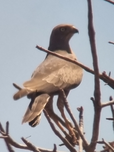
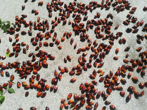
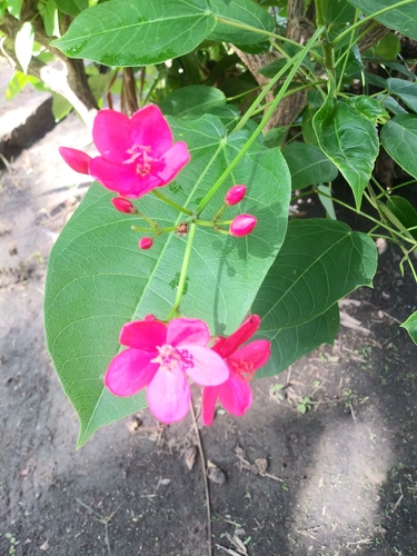
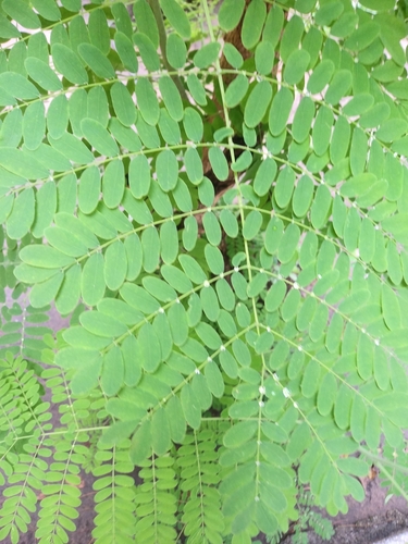
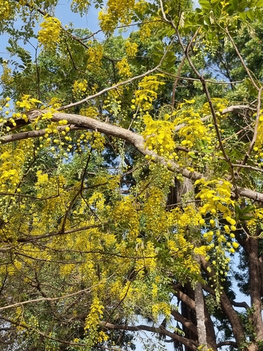
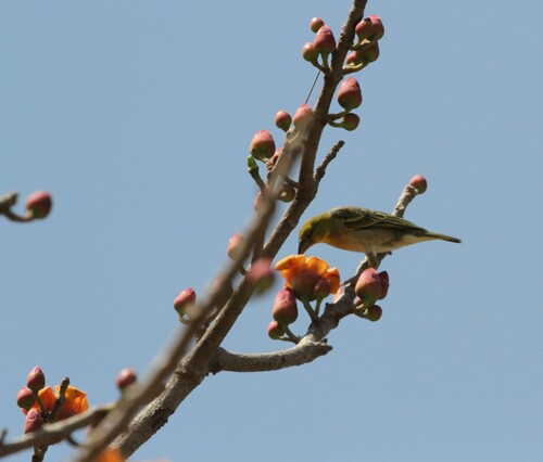
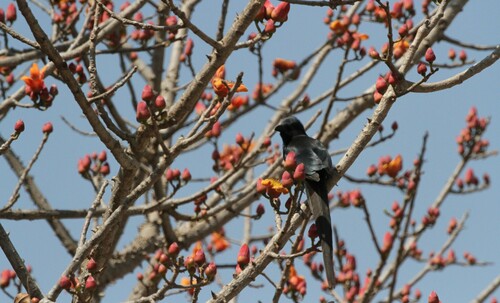
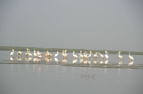
Research-grade observations from iNaturalist (within ~15 mi).
Events
Gallery
Sources
- • Wikipedia
- • Wikidata
- • iNaturalist
- • Open-Meteo / sunrise-sunset.org
- • Wikipedia Pageviews API
- • Open Library