Browse / Senegal / Senegal / Ziguinchor
Ziguinchor
Senegalcity

Ziguinchor
Total population
230,000
Demographic figures from ANSD Senegal. Overview below cites Wikipedia and may reference a different year.
City facts
Facts from Wikidata (CC0).
Overview
Ziguinchor is the capital of the Ziguinchor Region, and the chief town of the Casamance area of Senegal, lying at the mouth of the Casamance River. It has a population of 214,874. It is the eighth largest city of Senegal, but is nearly separated from the north of the country by the nation of The Gambia.
Read more on WikipediaHistory & geography
History
Ziguinchor sits at the narrowest part of the lower Casamance river and one end of a portage route to Buguendo on the Cacheu River, and has likely been an important trading post for many centuries. Historically it was a part of the Bainuk kingdom of Bichangor, and hosted a massive regional trade fair. After a series of conflicts over trade opposing Lancados, the Bainuk, and the Kasa kingdom, relations between the former two improved as the latter's power declined in the 1580s and 90s. The Bainuk allowed the lancados to settle on the Casamance for the first time, likely in Ziguinchor. By 1609 there was a resident priest, and by 1621 the small community of Portuguese merchants had built a church and converted some locals. The first official European settlement in the area was founded by the Portuguese in 1645 as a dependency of Cacheu populated by settlers from Cape Verde, and lancados and other Afro-Europeans. The Portuguese objective was to found a trading post and establish an alliance with the local mansa or king of the Kasa kingdom. Chroniclers described him as the ruler most friendly to the Portuguese along the Guinean coast. The king started to live in a European manner, with table, chairs and western clothing. His court included several Portuguese merchants. One of the commodities for trade was enslaved Africans, and Ziguinchor became a slave port during much of the Portuguese rule. The post boasted a fort with a few pieces of artillery by 1700, but was never an important economic center. The French occupied Carabane island downstream in 1836, forcing Portuguese ships to pay duties there. Despite frantic diplomatic efforts by governor Honório Barreto, Portugal never really tried to defend its claim to the region. Ziguinchor was eventually transferred to…
Excerpted from the corresponding Wikipedia article (CC BY-SA).
Geography
Coordinates & boundaries from the US Census TIGER/Line shapefiles.
Climate
Air quality
Walkability
Amenities nearby
Wildlife & biodiversity
Earthquake history
Photos
Sights & places nearby
Notable people from here


People born within ~10 km, from Wikidata (CC0). Click any name for their Wikipedia article.
Nearby places in Senegal
Geography & sun
Elevation, sunrise/sunset and daylight from Open-Meteo. Solar climatology from NASA POWER.
Nearby airports
Public attention
Pageview totals from the Wikimedia Pageviews API.
Books about Ziguinchor
Search results from Open Library.
Recent natural events nearby
Ground air-quality sensors
Recently spotted species
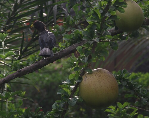
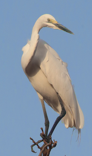
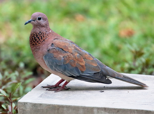
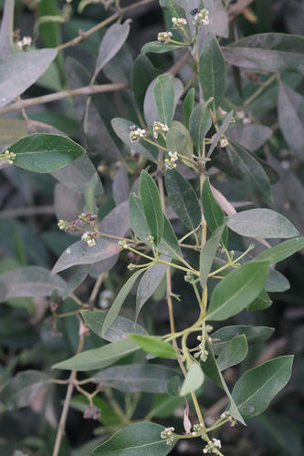
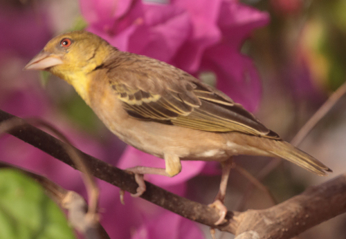

Research-grade observations from iNaturalist (within ~15 mi).
Events
Gallery
Sources
- • Wikipedia
- • Wikidata
- • iNaturalist
- • Open-Meteo / sunrise-sunset.org
- • Wikipedia Pageviews API
- • Open Library