Browse / South Sudan / Central Equatoria / Mongalla
Mongalla
Central Equatoriatown

Mongalla
Demographic figures from National Bureau of Statistics (South Sudan). Overview below cites Wikipedia and may reference a different year.
City facts
Overview
Mongalla or Mangalla is a Payam in Juba County, Central Equatoria State in South Sudan, on the east side of the Bahr al Jebel or White Nile river. It lies about 75 km by road northeast of Juba. The towns of Terekeka and Bor lie downstream, north of Mongalla.
Read more on WikipediaHistory & geography
Geography
Mongalla lies about by road northeast of Juba on the road to Bor in the north, but nearer as the crow flies. Mongalla is situated on the east bank of the White Nile in Central Equatoria state at an altitude of . Rainfall is relatively low between November and February, then increasing with two peaks in June and August. Annual precipitation is about . Winds are northerly in the dry season and southerly in the rainy season. Based on observations taken between April 1903 and December 1905, the mean temperature was , with mean maximum and mean minimum . Mean relative humidity was 74%. The river flowing past Mongalla combines seasonal torrential runoff in the rainy season with the more constant discharge from Lake Victoria, influenced by evaporation and by the damping and storage effects of Lake Albert, Lake Edward and Lake Kyoga. The Sudd, a vast area of swampland, stretches downriver from Mongalla to near the point where the Sobat River joins the White Nile just upstream from Malakal. Due to evaporation, only half the water that enters the Sudd at Mongalla emerges from the northern end of the swamps. The much smaller Badigeru Swamp lies about to the east, separated from Mongalla by a region of open grassland. The belt along the Nile about 10 km wide and 146 km long from Mongalla to Bor is inhabited by the Mundari and Dinka peoples.
Excerpted from the corresponding Wikipedia article (CC BY-SA).
Geography
Coordinates & boundaries from the US Census TIGER/Line shapefiles.
Climate
Air quality
Walkability
Amenities nearby
Wildlife & biodiversity
Most-observed species
- Namaqua DoveOena capensis (Linnaeus, 1766) · Aves24
- Black-billed Wood-DoveTurtur abyssinicus (Sharpe, 1902) · Aves23
- Common BulbulPycnonotus barbatus (Desfontaines, 1789) · Aves21
- Black-headed GonolekLaniarius erythrogaster (Cretzschmar, 1829) · Aves17
- African Gray HornbillLophoceros nasutus (Linnaeus, 1766) · Aves17
- Pin-tailed WhydahVidua macroura (Pallas, 1764) · Aves16
- Vinaceous DoveStreptopelia vinacea (J.F.Gmelin, 1789) · Aves16
- Speckled MousebirdColius striatus J.F.Gmelin, 1789 · Aves16
Citizen-science & research observations from the Global Biodiversity Information Facility (GBIF).
Earthquake history
Most recent
- M 4.8 — 2023-10-3150 km E of Juba, South Sudan
- M 4.5 — 2022-02-2580 km NNW of Torit, South Sudan
- M 4.5 — 2020-10-2532 km NE of Juba, South Sudan
- M 3.9 — 2020-10-1061 km E of Juba, South Sudan
- M 4.4 — 2010-05-0172 km NNE of Juba, South Sudan
- M 4.4 — 2006-03-0986 km NE of Juba, South Sudan
Events from the USGS Earthquake Catalog (global) (FDSN Event Web Service).
Photos
Sights & places nearby
Notable people from here
Nearby places in Central Equatoria
Geography & sun
Elevation, sunrise/sunset and daylight from Open-Meteo. Solar climatology from NASA POWER.
Nearby airports
Public attention
Pageview totals from the Wikimedia Pageviews API.
Books about this place
Recent natural events nearby
Ground air-quality sensors
Recently spotted species
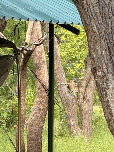
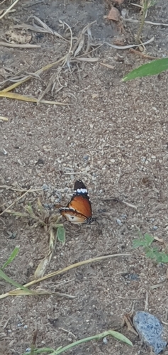
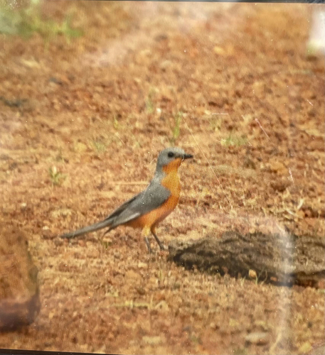
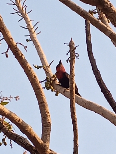
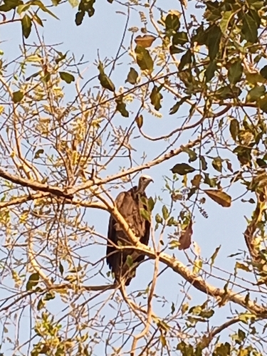
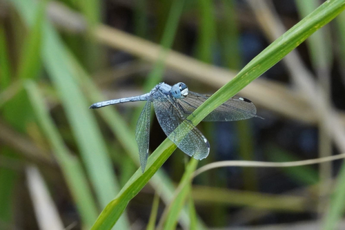
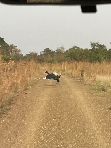
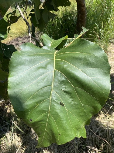
Research-grade observations from iNaturalist (within ~15 mi).
Events
Gallery
Sources
- • Wikipedia
- • Wikidata
- • USGS Earthquake Catalog (global feed)
- • GBIF (Global Biodiversity Information Facility)
- • iNaturalist
- • Open-Meteo / sunrise-sunset.org
- • Wikipedia Pageviews API