Homs
Syriacity

Homs
Total population
652,609
Demographic figures from Central Bureau of Statistics (Syria). Overview below cites Wikipedia and may reference a different year.
City facts
Sister cities
Facts from Wikidata (CC0).
Overview
Homs, known in pre-Islamic times as Emesa, is a city in western Syria and the capital of the Homs Governorate. It is 501 m (1,644 ft) above sea level and is located 162 km (101 mi) north of Damascus. Located on the Orontes River, Homs is also the central link between the interior cities and the Mediterranean coast.
Read more on WikipediaHistory & geography
History
For approximately 2,000 years, Homs has served as a key agricultural market, production site and trade centre for the villages of northern Syria. It has also provided security services to the hinterland of Syria, protecting it from invading forces. a battle took place between the forces of the Egyptian Empire under Ramesses II and the Hittite Empire under Muwatalli II at the city of Kadesh on the Orontes River near Homs. It was possibly the largest chariot battle ever fought, involving perhaps 5,000–6,000 chariots. Strabo only mentioned Arethusa in his Geography, as a "very strong place" of the Arab Sampsigeramos and of his son Iamblikhos, "phylarchs" of the Emesene, who had allied themselves to Q. Caecilius Bassus against Caesar in 47 BC; the translators above cited have thought strange Strabo's not saying a word about Emesa. Claims have been made that Emesa was founded by Seleucus I Nicator who established the Seleucid Empire upon the death of Alexander the Great. However, according to Henri Seyrig, Emesa does not seem to have received any Greek colony and the authors' complete silence makes one think that it did not increase its visibility under the Seleucid kings. According to Henri Seyrig, it even seems that Posidonius, to whom Strabo probably referred concerning the Emesenes' phylarchs' alliance with Q. Caecilius Bassus, regarded the Emesenes as a simple tribe, governed by its sheikhs, and still devoid of a real urban existence;{{efn|According to J. L. Whitaker, "Strabo seems to consider these Emesani to be among the tribes of tent dwellers (skénitai) who dwelt in the region south of Apamea". Upon Pompey's submission of the Seleucid state of Syria to the Roman Republic in 64 BCE, the Emesene dynasty were confirmed in their rule as client kings of the Romans for…
Geography
The Governorate of Homs is the largest in Syria. Homs, the governorate's capital, is located in central western Syria, situated along the east bank of the Orontes River in a particularly fertile area. The city is in between the southern outliers of the Coastal Mountain Range located to the west and Mount Lebanon, overlooking the Homs Gap. Because of the gap, the area around Homs receives much more rainfall and gusty winds than interior regions to its north and south. Homs is located north of Damascus, south of Aleppo, south of Hama, and southeast of Latakia on the Mediterranean coast. To the north of the citadel lies the Christian Quarter, known as "al-Hamidiyah". At the time of the Abbasids, Homs was known for its seven gates. They were Bab al-Souq (Gate of the Market), Bab Tadmur (Gate of Palmyra), Bab al-Dreib (or Bab al-Deir), Bab al-Sebaa (Gate of the Lions), Bab al-Turkman (Gate of the Turkmen), Bab al-Masdoud (Closed Door), and Bab Hud (The Gate of Hud). The oldest of Homs' mosques and churches are located in the Old City. Homs has a hot-summer Mediterranean climate (Köppen climate classification: Csa). Homs' location ensures that it receives softening influences and breezes from the Mediterranean. As a result, the city has a much milder climate than nearby Hama, with higher average rainfall of instead of , but it also experiences greater winds. |source 2 = Weather Atlas(sun-daylight-UV) }}
Excerpted from the corresponding Wikipedia article (CC BY-SA).
Geography
Coordinates & boundaries from the US Census TIGER/Line shapefiles.
Climate
Air quality
Walkability
Amenities nearby
Wildlife & biodiversity
Earthquake history
Photos
Sights & places nearby
Notable people from here


People born within ~10 km, from Wikidata (CC0). Click any name for their Wikipedia article.
Nearby places in Syria
- Shinabad492.4 mi away
- Tazeh Shahr502.7 mi away · pop. 8,629
- Bazargan531 mi away · pop. 9,000
- Kerend-e Gharb543.1 mi away · pop. 7,798
- Vara543.4 mi away
- Saqqez547.3 mi away · pop. 140,000
- Khamaneh549.6 mi away · pop. 3,056
- Dal552.7 mi away
- Eslamabad-e Gharb560.5 mi away · pop. 97,000
- Shahindezh568.4 mi away · pop. 38,396
- Bonab-e-Jadid570 mi away · pop. 4,430
- Arkvaz573 mi away · pop. 11,977
Geography & sun
Nearby airports
Public attention
Books about this place
Recent natural events nearby
Ground air-quality sensors
Recently spotted species
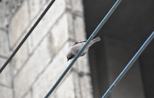
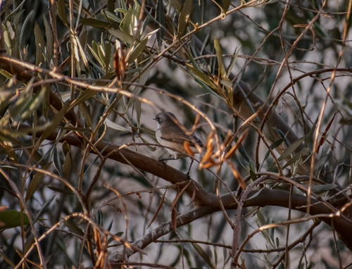
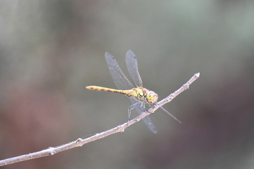
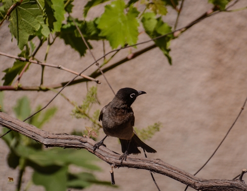
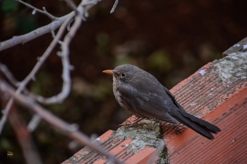
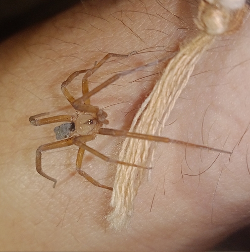
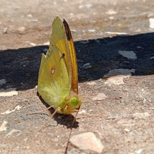
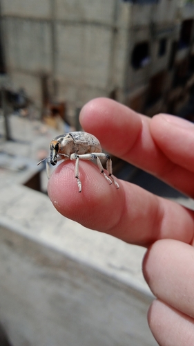
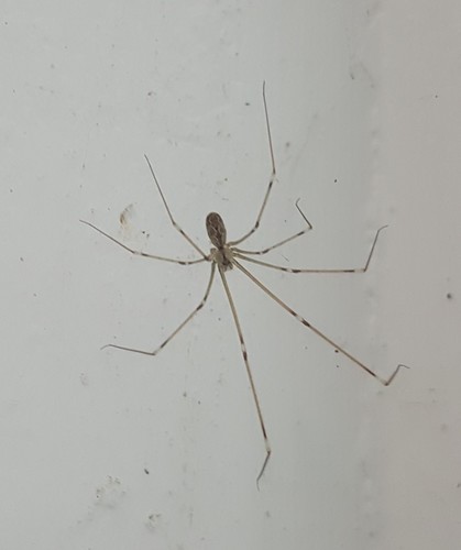
Research-grade observations from iNaturalist (within ~15 mi).
Events
Gallery
Sources
- • Wikipedia
- • Wikidata
- • iNaturalist