Lomé
Togocity

Lomé
Total population
837,437
Demographic figures from INSEED Togo. Overview below cites Wikipedia and may reference a different year.
City facts
Facts from Wikidata (CC0).
Overview
Lomé is the capital and largest city of Togo. It has an urban population of 837,437 while there were 2,188,376 permanent residents in its metropolitan area as of the 2022 census. Located on the Gulf of Guinea at the southwest corner of the country, with its entire western border along the easternmost edge of Ghana's Volta Region, Lomé is the country's administrative and industrial center, which includes an oil refinery. It is also the country's chief port, from where it exports coffee, cocoa, copra, and oil palm kernels.
Read more on WikipediaHistory & geography
History
The city was founded by the Ewes and expanded in the 19th century by German, British and African traders, becoming the capital of Togoland in 1897. At the end of the 19th century, British customs duties on imported products (especially on alcohol and tobacco) weighed very heavily. The traders, mainly maritime Ewe or Anlo from the area between Aflao and Keta in the east of the British colony of Gold Coast, then looking for an alternative place to unload goods while being out of reach of British customs officers, naturally targeted the coastal site of Lomé, nearby. This commercial dynamic of customs circumvention and tax evasion then favored the expansion of Lomé around 1880. The calm and sparsely inhabited Loméen coastline began to be populated rapidly. The Ewes were soon joined by European, British and especially German companies, as well as itinerant merchants from the interior, such as the Hausa caravans from the cola roads. Many people were attracted by the new economic hub that Lomé represented. The rapid growth of the city was reinforced, and Lomé quickly earned a reputation as a place where good business was done. It was the threats of the British present in the neighboring Gold Coast (now Ghana) that put an end to the competition that Lomé provoked for their colony, which then provoked a call for the protection of Germany. Togoland was thus created as an entity of international law within the German colonial empire on 5 July 1884, by the Treaty of Togoville, signed by Gustav Nachtigal and King . Lomé continued to prosper freely as a centre of import, thus becoming the main gateway to the North, whose major axis of penetration was then the Volta Valley; it was to access it that the construction of the first real road in the country, Lomé-Kpalimé, was undertaken…
Geography
At its creation, the commune of Lomé was wedged between the lagoon to the north, the Atlantic Ocean to the south, the village of Bè to the east and the border of Aflao to the west. Today, it has experienced a vertiginous extension, and is bounded by the Togolese Insurance Group (GTA) to the north, the Atlantic Ocean to the south, the oil refinery to the east, and the Togo-Ghana border to the west. The agglomeration spreads over an area of 333 km2. including 30 km2. in the lagoon area. The services of the municipality of Lomé go far beyond the limits of the gulf and the municipality to the north and east of the city. Distance between Lomé and the rest of the country's cities Lomé/Tsévié : 35 km Lomé/Aného : 45 km Lomé/Tabligbo : 90 km Lomé/Notsé : 100 km Lomé/Kpalimé : 121 km Lomé/Atakpamé : 167 km Lomé/Blitta : 273 km Lomé/Sokodé : 355 km Lomé/Bafilo : 404 km Lomé/Bassar : 412 km Lomé/Kara : 428 km Lomé/Kandé 503 km Lomé/Mango : 592 km Lomé/Dapaong : 662 km
Excerpted from the corresponding Wikipedia article (CC BY-SA).
Geography
Coordinates & boundaries from the US Census TIGER/Line shapefiles.
Climate
Air quality
Walkability
Amenities nearby
Wildlife & biodiversity
Most-observed species
- Black KiteMilvus migrans (Boddaert, 1783) · Aves169
- Laughing DoveSpilopelia senegalensis (Linnaeus, 1766) · Aves159
- Common BulbulPycnonotus barbatus (Desfontaines, 1789) · Aves147
- Long-tailed CormorantMicrocarbo africanus (Gmelin, 1789) · Aves136
- Pied KingfisherCeryle rudis (Linnaeus, 1758) · Aves118
- Malachite KingfisherCorythornis cristatus (Pallas, 1764) · Aves111
- African JacanaActophilornis africanus (J.F.Gmelin, 1789) · Aves109
- Slender-billed WeaverPloceus pelzelni (Shelley, 1887) · Aves109
Citizen-science & research observations from the Global Biodiversity Information Facility (GBIF).
Earthquake history
Events from the USGS Earthquake Catalog (global) (FDSN Event Web Service).
Photos
Sights & places nearby
Notable people from here


People born within ~10 km, from Wikidata (CC0). Click any name for their Wikipedia article.
Nearby places in Togo
Geography & sun
Elevation, sunrise/sunset and daylight from Open-Meteo. Solar climatology from NASA POWER.
Nearby airports
Public attention
Pageview totals from the Wikimedia Pageviews API.
Books about Lomé


Search results from Open Library.
Recent natural events nearby
Ground air-quality sensors
Recently spotted species
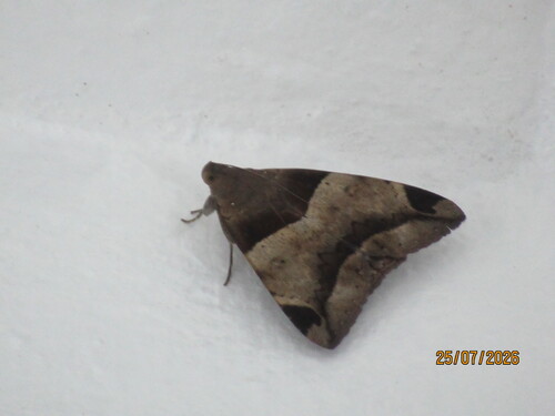
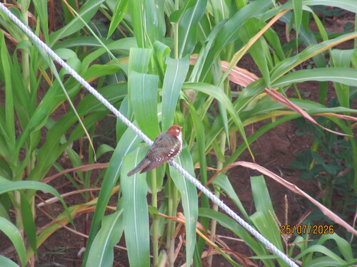
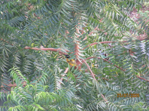
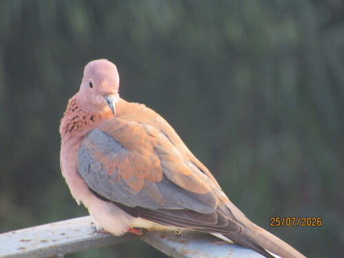
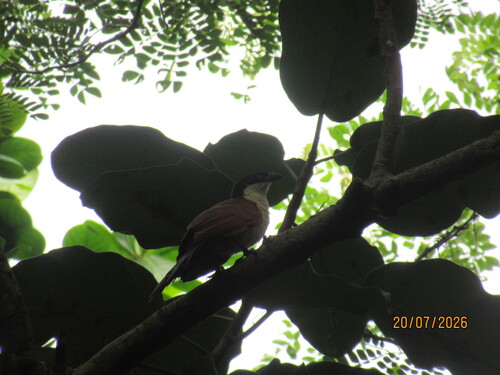
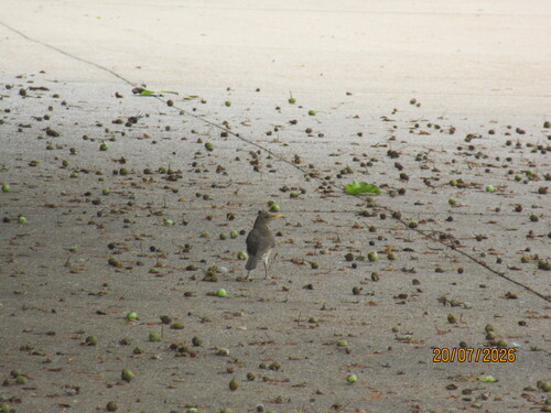
Research-grade observations from iNaturalist (within ~15 mi).
Events
Notable, recurring, and historical events associated with Lomé, sourced from Wikidata.
- Dec 15, 2023
- Jan 1, 2022
- Jan 1, 2021
- Jan 1, 2018
- Q138610697annual event
- Q135973082festival
- Denyigba Talent Awardsplanned event
Event that aims to showcase emerging talents in various artistic fields
- Q136868774festival
- International Festival of Letters and Arts (FESTILARTS)festival
The International Festival of Letters and Arts (Festilarts) is an annual literary and artistic event held at the University of Lomé, Togo.
Source: Wikidata (CC0).
Gallery
Sources
- • Wikipedia
- • Wikidata
- • USGS Earthquake Catalog (global feed)
- • GBIF (Global Biodiversity Information Facility)
- • iNaturalist
- • Open-Meteo / sunrise-sunset.org
- • Wikipedia Pageviews API
- • Open Library