Browse / Thailand / Nong Bua Lamphu / Ban Khok
Ban Khok
Nong Bua Lamphutown
Demographic figures from National Statistical Office of Thailand. Overview below cites Wikipedia and may reference a different year.
City facts
Overview
Ban Khok sits in Nong Bua Lamphu, Thailand and is identified as a town. The settlement sits at 17.545°, 102.204°, a tropical location in the northern hemisphere. Up-to-date population figures for this locality are not available in the open datasets we monitor. Based on its tropical position, residents likely encounter warm temperatures throughout the year with pronounced wet and dry seasons. Open solar datasets indicate about 1,825 kWh/m² of solar irradiance per year, combined with sunshine for roughly 71% of daylight hours. Additional figures on demographics, climate, geography and points of interest appear in the sections that follow, all drawn from open public datasets.
Summary composed automatically from structured open data on this page. See our Terms for details.
History & geography
Geography
Coordinates & boundaries from the US Census TIGER/Line shapefiles.
Climate
Air quality
Walkability
Amenities nearby
Wildlife & biodiversity
Most-observed species
- Sooty-headed BulbulPycnonotus aurigaster (Vieillot, 1818) · Aves15
- White-rumped ShamaCopsychus malabaricus (Scopoli, 1786) · Aves12
- Spotted doveSpilopelia chinensis (Scopoli, 1786) · Aves12
- Tickell's Blue FlycatcherCyornis tickelliae Blyth, 1843 · Aves11
- Gray-headed Canary-FlycatcherCulicicapa ceylonensis (Swainson, 1820) · Aves11
- Common TailorbirdOrthotomus sutorius (Pennant, 1769) · Aves11
- Malaysian Pied-FantailRhipidura javanica (Sparrman, 1788) · Aves11
- White-browed PiculetSasia ochracea Hodgson, 1837 · Aves10
Citizen-science & research observations from the Global Biodiversity Information Facility (GBIF).
Earthquake history
Most recent
- M 4.5 — 2019-10-1614 km NW of Loei, Thailand
Events from the USGS Earthquake Catalog (global) (FDSN Event Web Service).
Photos
Sights & places nearby
Notable people from here
Geography & sun
Elevation, sunrise/sunset and daylight from Open-Meteo. Solar climatology from NASA POWER.
Nearby airports
Public attention
Books about this place
Recent natural events nearby
Ground air-quality sensors
Recently spotted species


Research-grade observations from iNaturalist (within ~15 mi).
Events
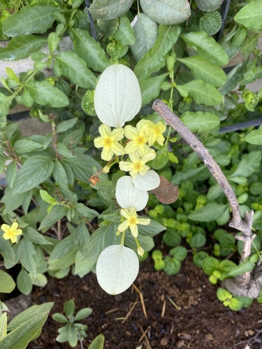
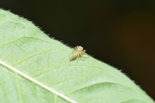
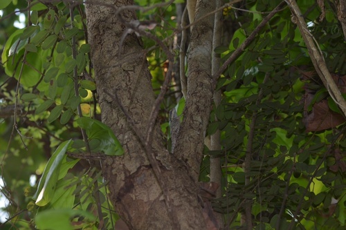
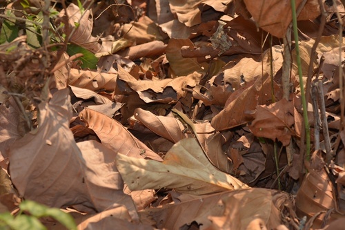
Gallery
Geotagged photos within ~6 miles of Ban Khok, from Wikimedia Commons contributors.


Photos via Wikimedia Commons — see each image page for license & attribution.
Sources
- • Wikimedia Commons
- • USGS Earthquake Catalog (global feed)
- • GBIF (Global Biodiversity Information Facility)
- • iNaturalist
- • Open-Meteo / sunrise-sunset.org