Browse / Thailand / Uttaradit / Ban Khok
Ban Khok
Uttaradittown
Air quality index
Demographic figures from National Statistical Office of Thailand. Overview below cites Wikipedia and may reference a different year.
City facts
Overview
Ban Khok is a town that lies in Uttaradit, Thailand. Up-to-date population figures for this locality are not available in the open datasets we monitor. Coordinates of 18.021°, 101.070° situate Ban Khok in the tropical zone of the northern hemisphere. Solar-resource estimates put the area at about 1,730 kWh/m² of solar irradiance per year with sunshine for roughly 68% of daylight hours. Based on its tropical position, residents likely encounter warm temperatures throughout the year with pronounced wet and dry seasons. The remainder of this page draws on open public data to describe the area's demographics, climate, environment and nearby amenities.
Summary composed automatically from structured open data on this page. See our Terms for details.
History & geography
Geography
Coordinates & boundaries from the US Census TIGER/Line shapefiles.
Climate
Air quality
Current readings from Open-Meteo Air Quality API (Copernicus CAMS European reanalysis).
Walkability
Amenities nearby
Wildlife & biodiversity
Most-observed species
- Ayeyarwady Forest AgamaCalotes irawadi Zug, Brown, Schulte & Vindum, 2006 · Squamata1
- Yellow-browed WarblerPhylloscopus inornatus (Blyth, 1842) · Aves1
- Hair-crested DrongoDicrurus hottentottus (Linnaeus, 1766) · Aves1
- Eurasian JayGarrulus glandarius (Linnaeus, 1758) · Aves1
- Spotted doveSpilopelia chinensis (Scopoli, 1786) · Aves1
- Ashy DrongoDicrurus leucophaeus Vieillot, 1817 · Aves1
- Velvet-fronted NuthatchSitta frontalis Swainson, 1820 · Aves1
Citizen-science & research observations from the Global Biodiversity Information Facility (GBIF).
Earthquake history
Most recent
- M 4.5 — 2019-10-1614 km NW of Loei, Thailand
- M 3.8 — 2004-03-2732 km S of Nan, Thailand
Events from the USGS Earthquake Catalog (global) (FDSN Event Web Service).
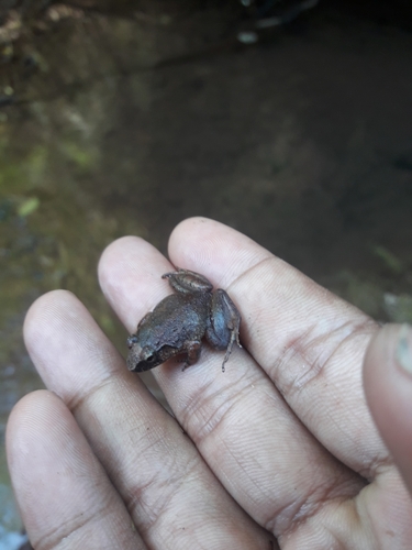
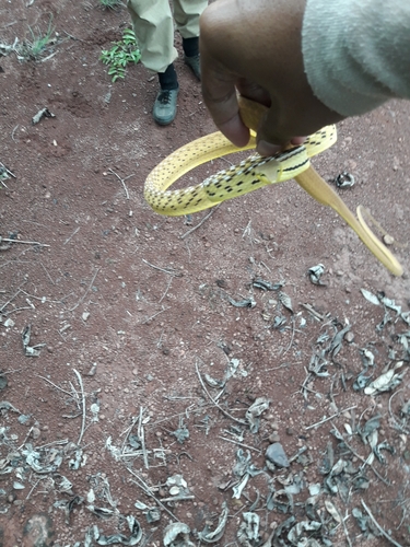
Photos
Sights & places nearby
Notable people from here
Nearby places in Uttaradit
- Ban Kaeng73.1 mi away
- Červený Potok5019.5 mi away · pop. 105
- Horní Lipka5020.7 mi away · pop. 120
- Prostřední Lipka5021.6 mi away · pop. 159
- Mlýnický Dvůr5022.8 mi away · pop. 104
- Hartinkov5022.8 mi away · pop. 68
- Vysoká5023.1 mi away · pop. 36
- Dolní Boříkovice5023.7 mi away · pop. 211
- Pěčíkov5023.8 mi away · pop. 82
- Březinky5024.2 mi away · pop. 113
- Vrážné5024.4 mi away · pop. 67
- Gruna5025.2 mi away · pop. 128
Geography & sun
Elevation, sunrise/sunset and daylight from Open-Meteo. Solar climatology from NASA POWER.
Nearby airports
Public attention
Books about this place
Recent natural events nearby
Ground air-quality sensors
Recently spotted species

Research-grade observations from iNaturalist (within ~15 mi).
Events
Gallery
Geotagged photos within ~6 miles of Ban Khok, from Wikimedia Commons contributors.


Photos via Wikimedia Commons — see each image page for license & attribution.
Sources
- • Wikimedia Commons
- • Wikidata
- • Open-Meteo Air Quality (CAMS)
- • USGS Earthquake Catalog (global feed)
- • GBIF (Global Biodiversity Information Facility)
- • iNaturalist
- • Open-Meteo / sunrise-sunset.org