Browse / Thailand / Ratchaburi / Ban Rai
Ban Rai
Ratchaburitown
Air quality index
Demographic figures from National Statistical Office of Thailand. Overview below cites Wikipedia and may reference a different year.
City facts
Overview
Found in Ratchaburi, Thailand, Ban Rai is classified as a town in public datasets. Geographically it lies in the northern hemisphere at a tropical latitude (13.626°, 99.919°). No reliable population estimate is published for this entry in the open data we rely on. The latitude suggests warm temperatures throughout the year with pronounced wet and dry seasons. The location receives about 1,789 kWh/m² of solar irradiance per year and sunshine for roughly 70% of daylight hours. The sections below expand on demographics, weather, terrain, hazards and nearby points of interest using publicly available datasets.
Summary composed automatically from structured open data on this page. See our Terms for details.
History & geography
Geography
Coordinates & boundaries from the US Census TIGER/Line shapefiles.
Climate
Air quality
Current readings from Open-Meteo Air Quality API (Copernicus CAMS European reanalysis).
Walkability
Amenities nearby
Wildlife & biodiversity
Most-observed species
- Zebra DoveGeopelia striata (Linnaeus, 1766) · Aves444
- Red-wattled LapwingVanellus indicus (Boddaert, 1783) · Aves425
- Rock PigeonColumba livia J.F.Gmelin, 1789 · Aves399
- Great MynaAcridotheres grandis Moore, 1858 · Aves395
- Red Collared-DoveStreptopelia tranquebarica (Hermann, 1804) · Aves386
- Asian OpenbillAnastomus oscitans (Boddaert, 1783) · Aves384
- Black-winged StiltHimantopus himantopus (Linnaeus, 1758) · Aves366
- Purple HeronArdea purpurea Linnaeus, 1766 · Aves360
Citizen-science & research observations from the Global Biodiversity Information Facility (GBIF).
Earthquake history
Events from the USGS Earthquake Catalog (global) (FDSN Event Web Service).
Photos
Sights & places nearby
Notable people from here
People born within ~10 km, from Wikidata (CC0). Click any name for their Wikipedia article.
Nearby places in Ratchaburi
Geography & sun
Elevation, sunrise/sunset and daylight from Open-Meteo. Solar climatology from NASA POWER.
Nearby airports
Public attention
Books about this place
Recent natural events nearby
Ground air-quality sensors
Recently spotted species

Research-grade observations from iNaturalist (within ~15 mi).
Events
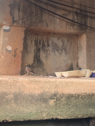
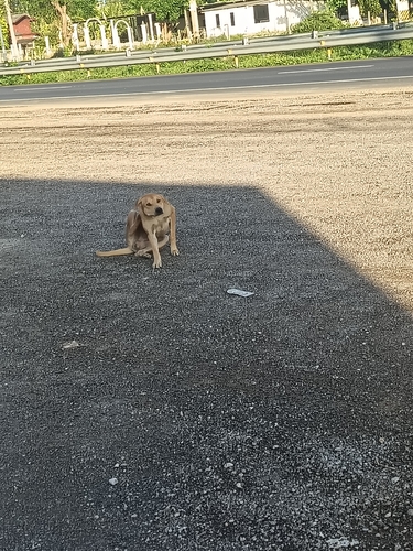
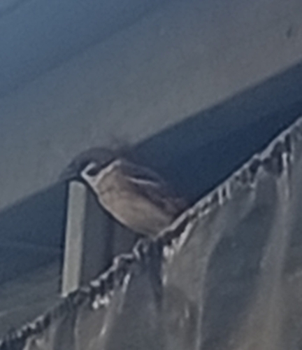
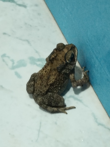
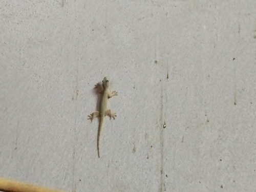
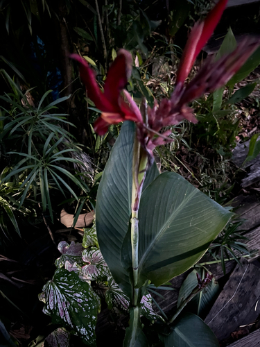
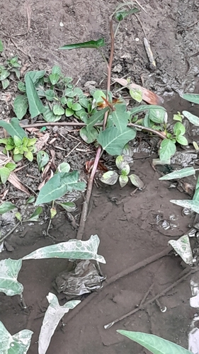
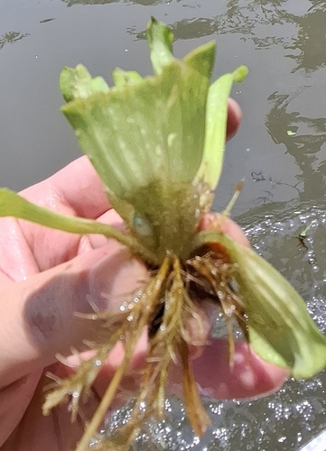
Gallery
Geotagged photos within ~6 miles of Ban Rai, from Wikimedia Commons contributors.


.jpg)
.jpg)

Photos via Wikimedia Commons — see each image page for license & attribution.
Sources
- • Wikimedia Commons
- • Wikidata
- • Open-Meteo Air Quality (CAMS)
- • USGS Earthquake Catalog (global feed)
- • GBIF (Global Biodiversity Information Facility)
- • iNaturalist
- • Open-Meteo / sunrise-sunset.org