Browse / Thailand / Chiang Rai / Ban Ta
Ban Ta
Chiang Raitown
Air quality index
Demographic figures from National Statistical Office of Thailand. Overview below cites Wikipedia and may reference a different year.
City facts
Overview
Situated in Chiang Rai, Thailand, Ban Ta is a town. Its coordinates of 19.817°, 100.230° place it in the tropical zone of the northern hemisphere. No reliable population estimate is published for this entry in the open data we rely on. Based on its tropical position, residents likely encounter warm temperatures throughout the year with pronounced wet and dry seasons. The location receives about 1,759 kWh/m² of solar irradiance per year and sunshine for roughly 69% of daylight hours. Open-data panels below dive into population trends, climate normals, environmental indicators and nearby places.
Summary composed automatically from structured open data on this page. See our Terms for details.
History & geography
Geography
Coordinates & boundaries from the US Census TIGER/Line shapefiles.
Climate
Air quality
Current readings from Open-Meteo Air Quality API (Copernicus CAMS European reanalysis).
Walkability
Amenities nearby
Wildlife & biodiversity
Most-observed species
- Sooty-headed BulbulPycnonotus aurigaster (Vieillot, 1818) · Aves13
- Ashy WoodswallowArtamus fuscus Vieillot, 1817 · Aves12
- Common TailorbirdOrthotomus sutorius (Pennant, 1769) · Aves11
- Black DrongoDicrurus macrocercus Vieillot, 1817 · Aves10
- Oriental Magpie-RobinCopsychus saularis (Linnaeus, 1758) · Aves9
- Yellow-browed WarblerPhylloscopus inornatus (Blyth, 1842) · Aves9
- Greater CoucalCentropus sinensis (Stephens, 1815) · Aves9
- Barn SwallowHirundo rustica Linnaeus, 1758 · Aves9
Citizen-science & research observations from the Global Biodiversity Information Facility (GBIF).
Earthquake history
Most recent
- M 4.7 — 2021-07-0753 km NE of Chiang Klang, Thailand
- M 4 — 2019-11-2526 km NE of Chiang Klang, Thailand
- M 4.6 — 2019-02-2026 km SW of Mae Chai, Thailand
- M 4.7 — 2017-04-1840 km NE of Tachilek, Myanmar
- M 4.5 — 2014-08-2444 km SSE of Fang, Thailand
- M 4.4 — 2014-06-0913 km NE of Tachilek, Myanmar
Events from the USGS Earthquake Catalog (global) (FDSN Event Web Service).
Photos
Sights & places nearby
Notable people from here
Nearby places in Chiang Rai
- Chiang Khong32.7 mi away
- Chiang Saen33 mi away
- Gerze4044.2 mi away · pop. 18,453
- Sinop4046.9 mi away · pop. 56,479
- Durağan4051.3 mi away · pop. 7,566
- Erfelek4059.3 mi away · pop. 4,011
- Saraydüzü4062 mi away · pop. 1,884
- Boyabat4066.3 mi away · pop. 28,693
- Ayancık4075.8 mi away · pop. 13,382
- Türkeli4088.5 mi away · pop. 6,514
- Pedaso5116 mi away · pop. 1,968
- Marina di Altidona5116.2 mi away · pop. 1,269
Geography & sun
Elevation, sunrise/sunset and daylight from Open-Meteo. Solar climatology from NASA POWER.
Nearby airports
Public attention
Books about this place
Recent natural events nearby
Ground air-quality sensors
Recently spotted species
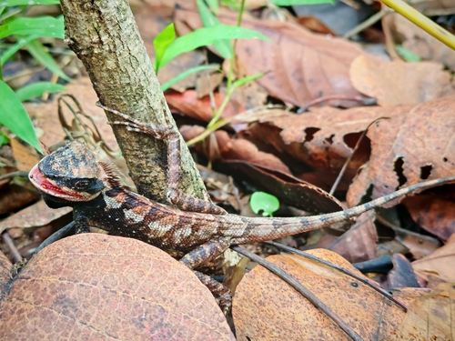
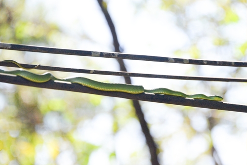
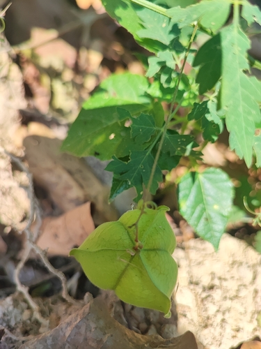

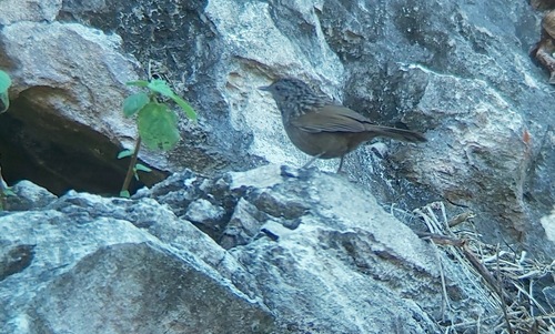


Research-grade observations from iNaturalist (within ~15 mi).
Events
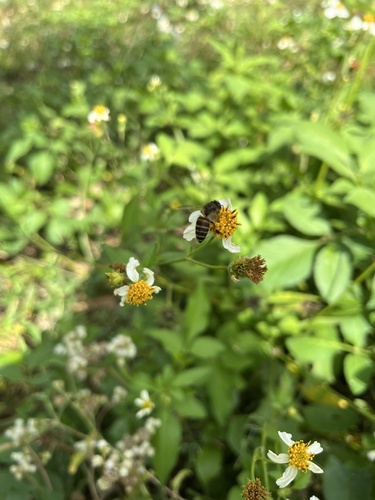
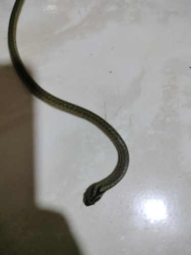
Gallery
Geotagged photos within ~6 miles of Ban Ta, from Wikimedia Commons contributors.


Photos via Wikimedia Commons — see each image page for license & attribution.
Sources
- • Wikimedia Commons
- • Wikidata
- • Open-Meteo Air Quality (CAMS)
- • USGS Earthquake Catalog (global feed)
- • GBIF (Global Biodiversity Information Facility)
- • iNaturalist
- • Open-Meteo / sunrise-sunset.org