Browse / Thailand / Phitsanulok / Bang Rakam
Bang Rakam
Phitsanuloktown
Demographic figures from National Statistical Office of Thailand. Overview below cites Wikipedia and may reference a different year.
City facts
Overview
Found in Phitsanulok, Thailand, Bang Rakam is classified as a town in public datasets. Located at 16.756°, 100.117°, Bang Rakam occupies a tropical portion of the northern hemisphere. Up-to-date population figures for this locality are not available in the open datasets we monitor. Based on its tropical position, residents likely encounter warm temperatures throughout the year with pronounced wet and dry seasons. Solar-resource estimates put the area at about 1,872 kWh/m² of solar irradiance per year with sunshine for roughly 73% of daylight hours. Continue scrolling for population, climate, environmental and points-of-interest data drawn from public sources.
Summary composed automatically from structured open data on this page. See our Terms for details.
History & geography
Geography
Coordinates & boundaries from the US Census TIGER/Line shapefiles.
Climate
Air quality
Walkability
Amenities nearby
Wildlife & biodiversity
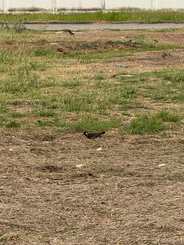
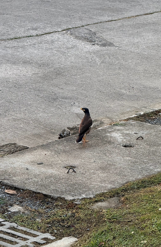
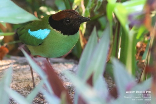
Most-observed species
- Great MynaAcridotheres grandis Moore, 1858 · Aves259
- Rock PigeonColumba livia J.F.Gmelin, 1789 · Aves252
- Red Collared-DoveStreptopelia tranquebarica (Hermann, 1804) · Aves248
- Black DrongoDicrurus macrocercus Vieillot, 1817 · Aves247
- Zebra DoveGeopelia striata (Linnaeus, 1766) · Aves234
- Asian Pied StarlingGracupica contra (Linnaeus, 1758) · Aves234
- Red-wattled LapwingVanellus indicus (Boddaert, 1783) · Aves231
- Asian OpenbillAnastomus oscitans (Boddaert, 1783) · Aves218
Citizen-science & research observations from the Global Biodiversity Information Facility (GBIF).
Earthquake history
Most recent
- M 4.1 — 2023-06-2824 km NNE of Khanu Woralaksaburi, Thailand
Events from the USGS Earthquake Catalog (global) (FDSN Event Web Service).
Photos
Sights & places nearby
Notable people from here
Nearby places in Phitsanulok
- Çaldıran3695.8 mi away · pop. 65,059
- Gürpınar3714.8 mi away · pop. 36,133
- İpekyolu3717 mi away · pop. 291,112
- Van3717.1 mi away · pop. 1,141,015
- San Salvo5217.2 mi away · pop. 20,016
- Vasto5217.4 mi away · pop. 41,087
- Cupello5219.9 mi away · pop. 4,415
- Lentella5220.3 mi away · pop. 768
- Monteodorisio5220.5 mi away · pop. 2,402
- Fresagrandinaria5221.3 mi away · pop. 1,088
- Dogliola5223 mi away · pop. 415
- Casalbordino5223.2 mi away · pop. 6,478
Geography & sun
Elevation, sunrise/sunset and daylight from Open-Meteo. Solar climatology from NASA POWER.
Nearby airports
Public attention
Books about this place
Recent natural events nearby
Ground air-quality sensors
Recently spotted species
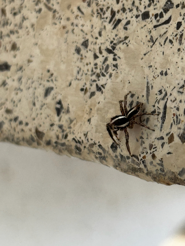

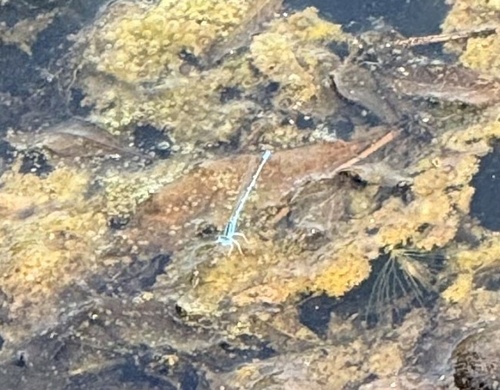
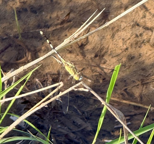
Research-grade observations from iNaturalist (within ~15 mi).
Events
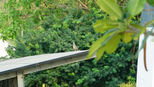
Gallery
Geotagged photos within ~6 miles of Bang Rakam, from Wikimedia Commons contributors.


Photos via Wikimedia Commons — see each image page for license & attribution.
Sources
- • Wikimedia Commons
- • Wikidata
- • USGS Earthquake Catalog (global feed)
- • GBIF (Global Biodiversity Information Facility)
- • iNaturalist
- • Open-Meteo / sunrise-sunset.org