Browse / Thailand / Phra Nakhon Si Ayutthaya / Bang Sai
Bang Sai
Phra Nakhon Si Ayutthayatown
Demographic figures from National Statistical Office of Thailand. Overview below cites Wikipedia and may reference a different year.
City facts
Overview
Bang Sai is a town that lies in Phra Nakhon Si Ayutthaya, Thailand. Bang Sai maps to 14.212°, 100.496° — squarely within the tropical belt. Up-to-date population figures for this locality are not available in the open datasets we monitor. Long-term weather observations show average highs near 91.1°F and lows near 76°F with about 65.1 in of annual precipitation (a wet total). The location receives about 1,904 kWh/m² of solar irradiance per year and sunshine for roughly 75% of daylight hours. Based on its tropical position, residents likely encounter warm temperatures throughout the year with pronounced wet and dry seasons. Continue scrolling for population, climate, environmental and points-of-interest data drawn from public sources.
Summary composed automatically from structured open data on this page. See our Terms for details.
History & geography
Geography
Coordinates & boundaries from the US Census TIGER/Line shapefiles.
Climate
10-year averages from ERA5 reanalysis (Open-Meteo).
Air quality
Walkability
Amenities nearby
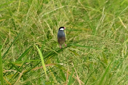
Wildlife & biodiversity
Most-observed species
- Zebra DoveGeopelia striata (Linnaeus, 1766) · Aves796
- Asian OpenbillAnastomus oscitans (Boddaert, 1783) · Aves750
- Oriental Magpie-RobinCopsychus saularis (Linnaeus, 1758) · Aves706
- Common MynaAcridotheres tristis (Linnaeus, 1766) · Aves705
- Great MynaAcridotheres grandis Moore, 1858 · Aves658
- Red Collared-DoveStreptopelia tranquebarica (Hermann, 1804) · Aves612
- Rock PigeonColumba livia J.F.Gmelin, 1789 · Aves599
- Asian KoelEudynamys scolopaceus (Linnaeus, 1758) · Aves560
Citizen-science & research observations from the Global Biodiversity Information Facility (GBIF).
Earthquake history
Events from the USGS Earthquake Catalog (global) (FDSN Event Web Service).
Photos
Sights & places nearby
Notable people from here

People born within ~10 km, from Wikidata (CC0). Click any name for their Wikipedia article.
Nearby places in Phra Nakhon Si Ayutthaya
Geography & sun
Elevation, sunrise/sunset and daylight from Open-Meteo. Solar climatology from NASA POWER.
Nearby airports
Public attention
Books about Bang Sai
Search results from Open Library.
Recent natural events nearby
Ground air-quality sensors
Recently spotted species
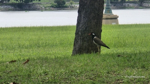

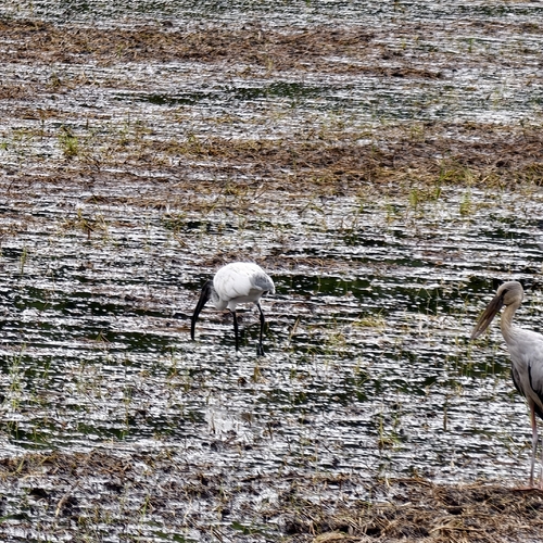
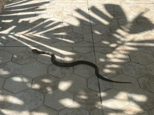
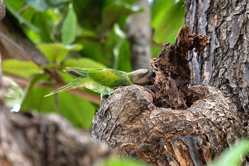
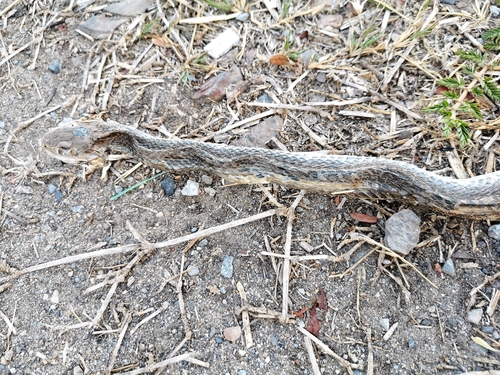
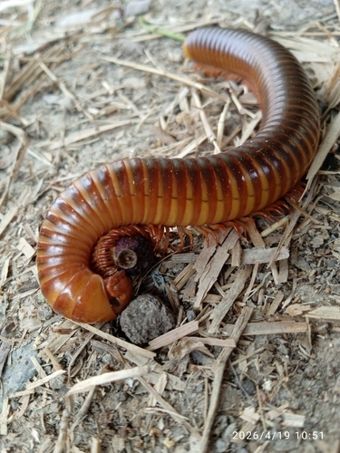
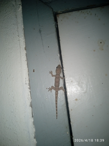
Research-grade observations from iNaturalist (within ~15 mi).
Events
Gallery
Sources
- • Open-Meteo (ERA5 reanalysis)
- • Wikidata
- • USGS Earthquake Catalog (global feed)
- • GBIF (Global Biodiversity Information Facility)
- • iNaturalist
- • Open-Meteo / sunrise-sunset.org
- • Open Library