Browse / Thailand / Chonburi / Bang Sai
Bang Sai
Chonburitown
Air quality index
Demographic figures from National Statistical Office of Thailand. Overview below cites Wikipedia and may reference a different year.
City facts
Overview
Bang Sai is a town in Chonburi, Thailand. On the world map it falls within the Eastern Hemisphere, specifically at 13.384°, 100.988°. Up-to-date population figures for this locality are not available in the open datasets we monitor. The latitude suggests warm temperatures throughout the year with pronounced wet and dry seasons. Solar-resource estimates put the area at about 1,910 kWh/m² of solar irradiance per year with sunshine for roughly 75% of daylight hours. Further detail — demographics, climate, nearby amenities and natural-hazard data — is compiled below from public open-data sources.
Summary composed automatically from structured open data on this page. See our Terms for details.
History & geography
Geography
Coordinates & boundaries from the US Census TIGER/Line shapefiles.
Climate
Air quality
Current readings from Open-Meteo Air Quality API (Copernicus CAMS European reanalysis).
Walkability
Amenities nearby
Wildlife & biodiversity
Most-observed species
- Black-winged StiltHimantopus himantopus (Linnaeus, 1758) · Aves1,382
- Little Egret/Western Reef-HeronEgretta garzetta (Linnaeus, 1766) · Aves1,371
- Little CormorantMicrocarbo niger (Vieillot, 1817) · Aves1,360
- Great EgretArdea alba Linnaeus, 1758 · Aves1,286
- Marsh SandpiperTringa stagnatilis (Bechstein, 1803) · Aves1,213
- Zebra DoveGeopelia striata (Linnaeus, 1766) · Aves1,201
- Painted StorkMycteria leucocephala (Pennant, 1769) · Aves1,181
- Whiskered TernChlidonias hybrida (Pallas, 1811) · Aves1,163
Citizen-science & research observations from the Global Biodiversity Information Facility (GBIF).
Earthquake history
Events from the USGS Earthquake Catalog (global) (FDSN Event Web Service).
Photos
Sights & places nearby
Notable people from here


People born within ~10 km, from Wikidata (CC0). Click any name for their Wikipedia article.
Nearby places in Chonburi
- Chon Buri1.2 mi away · pop. 70,364
- Nong Mai Daeng1.6 mi away
- Khlong Tamru4.1 mi away
- Don Hua Lo4.3 mi away
- Samet4.5 mi away
- Ang Sila5.1 mi away
- Bang Saen8.3 mi away · pop. 42,843
- Phan Thong9.5 mi away
- Ban Bueng10 mi away · pop. 18,606
- Bang Phra12.3 mi away
- Phanat Nikhom13.8 mi away · pop. 12,000
- Hua Kunchae14.6 mi away
Geography & sun
Elevation, sunrise/sunset and daylight from Open-Meteo. Solar climatology from NASA POWER.
Nearby airports
Public attention
Books about this place
Recent natural events nearby
Ground air-quality sensors
Recently spotted species
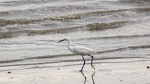
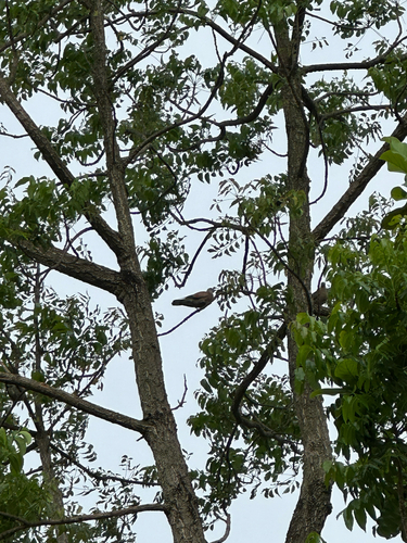
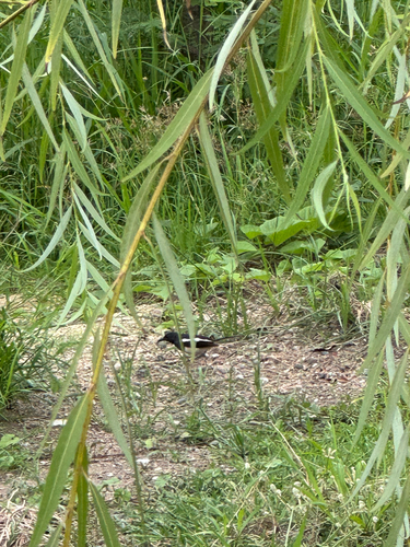
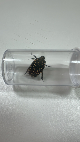
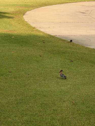
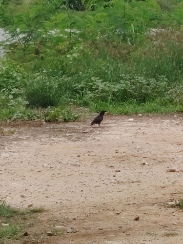
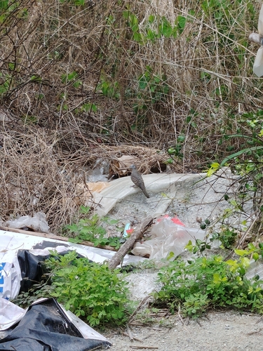
Research-grade observations from iNaturalist (within ~15 mi).
Events
Gallery
Geotagged photos within ~6 miles of Bang Sai, from Wikimedia Commons contributors.
.jpg) 0.9 mi
0.9 mi 1 mi
1 mi 1.4 mi
 1.5 mi
 1.6 mi
 1.7 mi
.jpg) 1.7 mi
1.7 mi 1.7 mi
.jpg) 1.7 mi
1.7 mi.jpg) 1.7 mi
1.7 mi.jpg) 1.7 mi
1.7 mi.jpg) 1.7 mi
1.7 mi.jpg) 1.7 mi
1.7 mi.jpg) 1.7 mi
1.7 mi.jpg) 1.7 mi
1.7 mi.jpg) 1.7 mi
1.7 mi.jpg) 1.7 mi
1.7 mi.jpg) 1.7 mi
1.7 mi.jpg) 1.7 mi
1.7 mi.jpg) 1.7 mi
1.7 mi.jpg) 1.7 mi
1.7 mi.jpg) 1.7 mi
1.7 mi 1.7 mi
_-_panoramio.jpg) 2.2 mi
2.2 miPhotos via Wikimedia Commons — see each image page for license & attribution.
Sources
- • Wikimedia Commons
- • Wikidata
- • Open-Meteo Air Quality (CAMS)
- • USGS Earthquake Catalog (global feed)
- • GBIF (Global Biodiversity Information Facility)
- • iNaturalist
- • Open-Meteo / sunrise-sunset.org