Browse / Thailand / Chachoengsao / Bang Wua
Bang Wua
Chachoengsaotown
Air quality index
Demographic figures from National Statistical Office of Thailand. Overview below cites Wikipedia and may reference a different year.
City facts
Overview
Situated in Chachoengsao, Thailand, Bang Wua is a town. Geographically it lies in the northern hemisphere at a tropical latitude (13.541°, 100.966°). Up-to-date population figures for this locality are not available in the open datasets we monitor. Its latitude implies a climate characterised by warm temperatures throughout the year with pronounced wet and dry seasons. Solar-resource estimates put the area at about 1,910 kWh/m² of solar irradiance per year with sunshine for roughly 75% of daylight hours. The remainder of this page draws on open public data to describe the area's demographics, climate, environment and nearby amenities.
Summary composed automatically from structured open data on this page. See our Terms for details.
History & geography
Geography
Coordinates & boundaries from the US Census TIGER/Line shapefiles.
Climate
Air quality
Current readings from Open-Meteo Air Quality API (Copernicus CAMS European reanalysis).
Walkability
Amenities nearby
Wildlife & biodiversity
Most-observed species
- Black-winged StiltHimantopus himantopus (Linnaeus, 1758) · Aves1,364
- Little CormorantMicrocarbo niger (Vieillot, 1817) · Aves1,317
- Little Egret/Western Reef-HeronEgretta garzetta (Linnaeus, 1766) · Aves1,280
- Great EgretArdea alba Linnaeus, 1758 · Aves1,206
- Marsh SandpiperTringa stagnatilis (Bechstein, 1803) · Aves1,202
- Painted StorkMycteria leucocephala (Pennant, 1769) · Aves1,173
- Whiskered TernChlidonias hybrida (Pallas, 1811) · Aves1,163
- Zebra DoveGeopelia striata (Linnaeus, 1766) · Aves1,139
Citizen-science & research observations from the Global Biodiversity Information Facility (GBIF).
Earthquake history
Events from the USGS Earthquake Catalog (global) (FDSN Event Web Service).
Photos
Sights & places nearby
Notable people from here

People born within ~10 km, from Wikidata (CC0). Click any name for their Wikipedia article.
Nearby places in Chachoengsao
Geography & sun
Elevation, sunrise/sunset and daylight from Open-Meteo. Solar climatology from NASA POWER.
Nearby airports
Public attention
Books about this place
Recent natural events nearby
Ground air-quality sensors
Recently spotted species
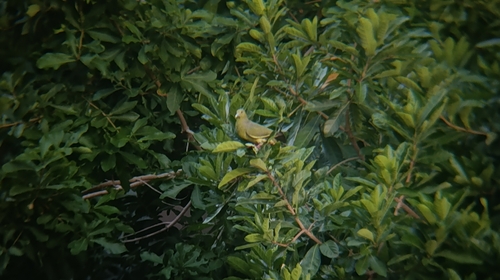
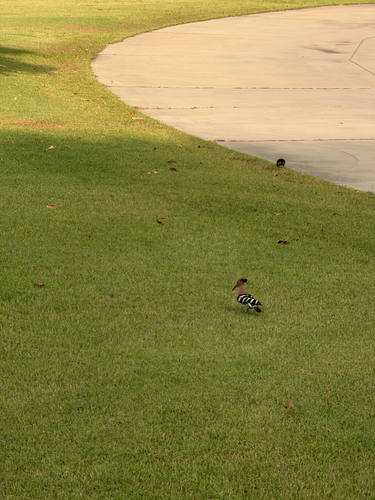
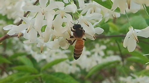
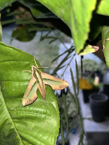
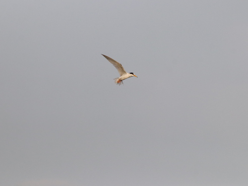
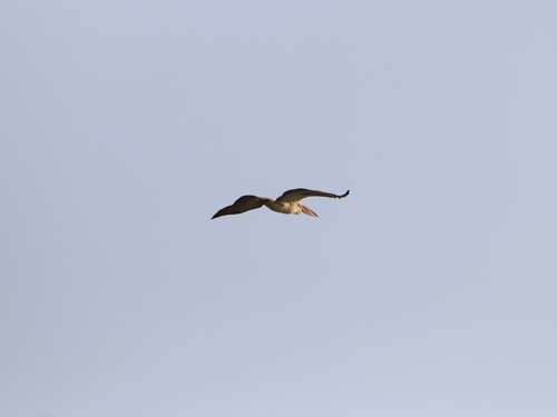
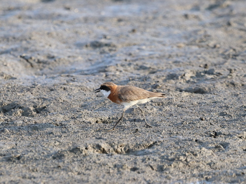
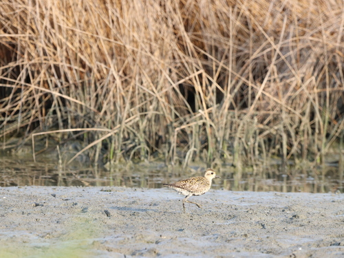
Research-grade observations from iNaturalist (within ~15 mi).
Events
Gallery
Geotagged photos within ~6 miles of Bang Wua, from Wikimedia Commons contributors.
.jpg) 0.2 mi
0.2 mi.jpg) 0.2 mi
0.2 mi 0.4 mi
 0.4 mi
.jpg) 0.4 mi
0.4 mi.jpg) 0.4 mi
0.4 mi.jpg) 0.4 mi
0.4 mi.jpg) 0.4 mi
0.4 mi 0.4 mi
.jpg) 2 mi
2 mi 2.4 mi
 2.5 mi
_-_panoramio.jpg) 2.5 mi
2.5 mi.jpg) 2.6 mi
2.6 mi 2.6 mi
.jpg) 3.5 mi
3.5 mi 3.6 mi
 3.6 mi
.jpg) 3.6 mi
3.6 mi 3.6 mi
 3.6 mi
.jpg) 3.6 mi
3.6 mi.jpg) 3.6 mi
3.6 mi 4.3 mi
Photos via Wikimedia Commons — see each image page for license & attribution.
Sources
- • Wikimedia Commons
- • Wikidata
- • Open-Meteo Air Quality (CAMS)
- • USGS Earthquake Catalog (global feed)
- • GBIF (Global Biodiversity Information Facility)
- • iNaturalist
- • Open-Meteo / sunrise-sunset.org