Browse / Thailand / Chiang Mai / Chiang Dao
Chiang Dao
Chiang Maitown
Total population
15,188
Air quality index
Demographic figures from National Statistical Office of Thailand. Overview below cites Wikipedia and may reference a different year.
City facts
Overview
Found in Chiang Mai, Thailand, Chiang Dao is classified as a town in public datasets. The population stands at approximately 15,188. Chiang Dao maps to 19.370°, 98.966° — squarely within the tropical belt. Its latitude implies a climate characterised by warm temperatures throughout the year with pronounced wet and dry seasons. The location receives about 1,768 kWh/m² of solar irradiance per year and sunshine for roughly 69% of daylight hours. The sections below expand on demographics, weather, terrain, hazards and nearby points of interest using publicly available datasets.
Summary composed automatically from structured open data on this page. See our Terms for details.
History & geography
Geography
Coordinates & boundaries from the US Census TIGER/Line shapefiles.
Climate
Air quality
Current readings from Open-Meteo Air Quality API (Copernicus CAMS European reanalysis).
Walkability
Amenities nearby
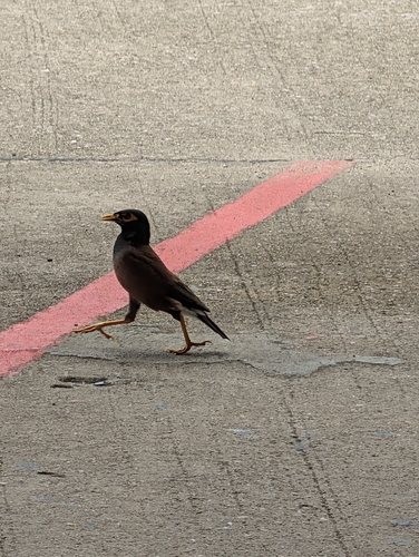
Wildlife & biodiversity
Most-observed species
- Spotted doveSpilopelia chinensis (Scopoli, 1786) · Aves875
- Sooty-headed BulbulPycnonotus aurigaster (Vieillot, 1818) · Aves804
- Black-crested BulbulPycnonotus flaviventris (Tickell, 1833) · Aves630
- Blue-throated BarbetPsilopogon asiaticus (Latham, 1790) · Aves568
- Puff-throated BulbulAlophoixus pallidus (Swinhoe, 1870) · Aves539
- Gray-eyed BulbulIole propinqua (Oustalet, 1903) · Aves536
- Asian Fairy-bluebirdIrena puella (Latham, 1790) · Aves516
- Black-hooded OrioleOriolus xanthornus (Linnaeus, 1758) · Aves478
Citizen-science & research observations from the Global Biodiversity Information Facility (GBIF).
Earthquake history
Most recent
- M 4.2 — 2025-06-0243 km NNE of Chiang Mai, Thailand
- M 4.2 — 2023-11-0910 km NW of Pai, Thailand
- M 4.2 — 2022-10-198 km N of San Kamphaeng, Thailand
- M 3.8 — 2019-10-1821 km NE of San Kamphaeng, Thailand
- M 4.6 — 2019-02-2026 km SW of Mae Chai, Thailand
- M 4.5 — 2014-08-2444 km SSE of Fang, Thailand
Events from the USGS Earthquake Catalog (global) (FDSN Event Web Service).
Photos
Sights & places nearby
Notable people from here
Nearby places in Chiang Mai
Geography & sun
Elevation, sunrise/sunset and daylight from Open-Meteo. Solar climatology from NASA POWER.
Nearby airports
Public attention
Books about Chiang Dao
Search results from Open Library.
Recent natural events nearby
Ground air-quality sensors
Recently spotted species


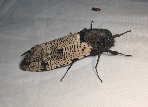

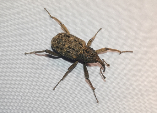
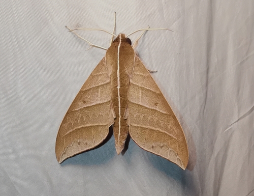
Research-grade observations from iNaturalist (within ~15 mi).
Events
Gallery
Geotagged photos within ~6 miles of Chiang Dao, from Wikimedia Commons contributors.
 0.1 mi
 0.1 mi
 0.1 mi
 0.8 mi
.jpg) 1 mi
1 mi 1.1 mi
.jpg) 1.3 mi
1.3 mi.jpg) 1.3 mi
1.3 mi 1.5 mi
.jpg) 2 mi
2 mi 2.4 mi
 2.4 mi
 2.7 mi
 2.7 mi
 2.8 mi
 2.8 mi
 2.8 mi
 2.9 mi
.jpg) 2.9 mi
2.9 mi.jpg) 2.9 mi
2.9 mi.jpg) 2.9 mi
2.9 mi 2.9 mi
.jpg) 2.9 mi
2.9 mi.jpg) 2.9 mi
2.9 miPhotos via Wikimedia Commons — see each image page for license & attribution.
Sources
- • Wikimedia Commons
- • Wikidata
- • Open-Meteo Air Quality (CAMS)
- • USGS Earthquake Catalog (global feed)
- • GBIF (Global Biodiversity Information Facility)
- • iNaturalist
- • Open-Meteo / sunrise-sunset.org
- • Open Library