Browse / Thailand / Kanchanaburi / Erawan
Erawan
Kanchanaburitown
Air quality index
Demographic figures from National Statistical Office of Thailand. Overview below cites Wikipedia and may reference a different year.
City facts
Overview
Within Kanchanaburi, Thailand, Erawan stands as a town. No reliable population estimate is published for this entry in the open data we rely on. The settlement sits at 14.385°, 99.136°, a tropical location in the northern hemisphere. Solar-resource estimates put the area at about 1,848 kWh/m² of solar irradiance per year with sunshine for roughly 72% of daylight hours. The latitude suggests warm temperatures throughout the year with pronounced wet and dry seasons. Read on for charts and tables covering demographics, climate, hazards, schools, wildlife and other open-data indicators for Erawan.
Summary composed automatically from structured open data on this page. See our Terms for details.
History & geography
Geography
Coordinates & boundaries from the US Census TIGER/Line shapefiles.
Climate
Air quality
Current readings from Open-Meteo Air Quality API (Copernicus CAMS European reanalysis).
Walkability
Amenities nearby
Wildlife & biodiversity
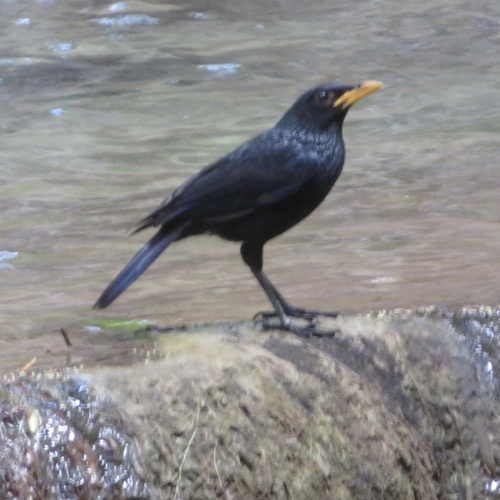
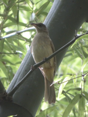
Most-observed species
- Black-crested BulbulPycnonotus flaviventris (Tickell, 1833) · Aves174
- Ayeyarwady BulbulPycnonotus blanfordi Jerdon, 1862 · Aves166
- White-rumped ShamaCopsychus malabaricus (Scopoli, 1786) · Aves154
- Sooty-headed BulbulPycnonotus aurigaster (Vieillot, 1818) · Aves136
- Lineated BarbetPsilopogon lineatus (Vieillot, 1816) · Aves123
- Ashy WoodswallowArtamus fuscus Vieillot, 1817 · Aves113
- Common IoraAegithina tiphia (Linnaeus, 1758) · Aves112
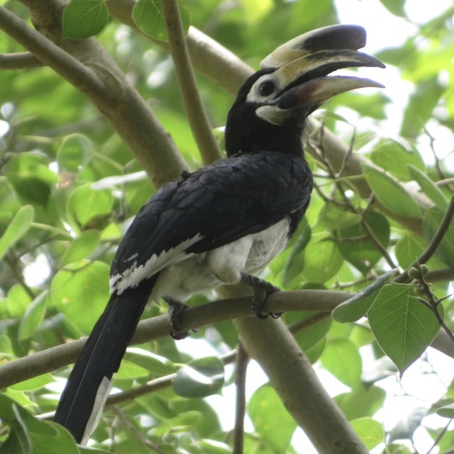
- Oriental Pied-HornbillAnthracoceros albirostris (Shaw, 1808) · Aves106
Citizen-science & research observations from the Global Biodiversity Information Facility (GBIF).
Earthquake history
Most recent
- M 4.3 — 2018-12-3070 km SW of Huai Khot, Thailand
Events from the USGS Earthquake Catalog (global) (FDSN Event Web Service).
Photos
Sights & places nearby
Notable people from here
Nearby places in Kanchanaburi
- Tha Muang44 mi away
- Yahşihan4302 mi away · pop. 31,308
- Poruba5075.2 mi away · pop. 197
- Hranické Loučky5077.7 mi away · pop. 73
- Špičky5079.3 mi away · pop. 305
- Kunčice5079.6 mi away · pop. 242
- Skalička5080 mi away · pop. 535
- Hluzov5080.7 mi away · pop. 235
- Ústí5081.3 mi away · pop. 560
- Provodovice5081.4 mi away · pop. 125
- Všechovice5081.8 mi away · pop. 885
- Lipná5084.1 mi away · pop. 77
Geography & sun
Elevation, sunrise/sunset and daylight from Open-Meteo. Solar climatology from NASA POWER.
Nearby airports
Public attention
Books about this place
Recent natural events nearby
Ground air-quality sensors
Recently spotted species

Research-grade observations from iNaturalist (within ~15 mi).
Events
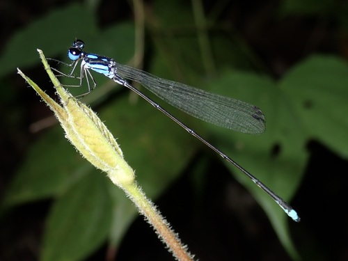
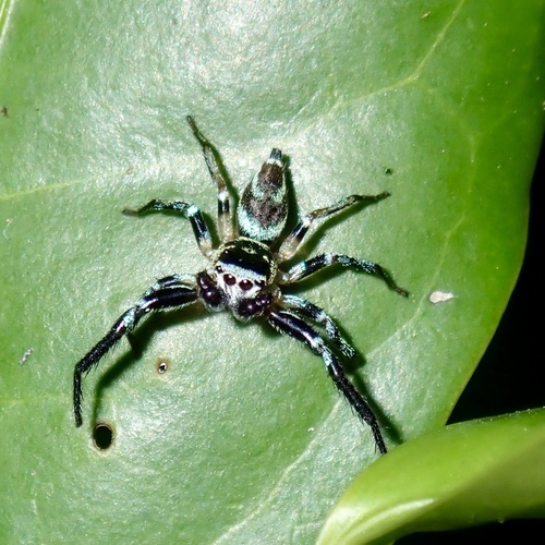
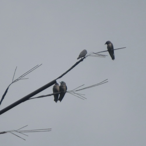
Gallery
Geotagged photos within ~6 miles of Erawan, from Wikimedia Commons contributors.
 0.9 mi
 0.9 mi
.jpg) 0.9 mi
0.9 mi 0.9 mi
 0.9 mi
 0.9 mi
 0.9 mi
 0.9 mi
 0.9 mi
 0.9 mi
 0.9 mi
 0.9 mi
 0.9 mi
 0.9 mi
 0.9 mi
 0.9 mi
 0.9 mi
 0.9 mi
 0.9 mi
 0.9 mi
 1 mi
1 mi 1 mi
1 mi 1 mi
1 mi 1.1 mi
Photos via Wikimedia Commons — see each image page for license & attribution.
Sources
- • Wikimedia Commons
- • Wikidata
- • Open-Meteo Air Quality (CAMS)
- • USGS Earthquake Catalog (global feed)
- • GBIF (Global Biodiversity Information Facility)
- • iNaturalist
- • Open-Meteo / sunrise-sunset.org