Browse / Thailand / Krabi / Krabi
Krabi
Krabitown

Krabi
Total population
50,000
Air quality index
Demographic figures from National Statistical Office of Thailand. Overview below cites Wikipedia and may reference a different year.
City facts
Facts from Wikidata (CC0).
Overview
Krabi is the capital of and main town in Krabi Province, on the west coast of southern Thailand, where the Krabi River flows into Phang Nga Bay. The town lies 650 km (400 mi) south of Bangkok, and as of 2020, has a population of 32,644. As in much of southern Thailand, the local economy centres largely on tourism.
Read more on WikipediaHistory & geography
History
At the start of the Rattanakosin period in the late eighteenth century, when the capital was finally settled at Bangkok, an elephant kraal was established in Krabi by order of Chao Phraya Nakhon (Noi), the governor of Nakhon Si Thammarat, which was by then a part of the Thai Kingdom. He sent his vizier, the Phra Palad, to oversee this task, which was to ensure a regular supply of elephants for the larger town. So many followers immigrated in the steps of the Phra Palad that soon Krabi had a large community in three different boroughs: Pakasai, Khlong Pon, and Pak Lao. In 1872, King Chulalongkorn elevated these to town status, called Krabi, a word that preserves in its meaning the monkey symbolism of the old standard. The town's first governor was Luang Thep Sena, though it continued for a while as a dependency of Nakhon Si Thammarat. This was changed in 1875, when Krabi was raised to a fourth-level town in the old system of Thai government. Administrators then reported directly to the central government in Bangkok, and Krabi's history as an entity separate from other provinces had begun.
Excerpted from the corresponding Wikipedia article (CC BY-SA).
Geography
Coordinates & boundaries from the US Census TIGER/Line shapefiles.
Climate
10-year averages from ERA5 reanalysis (Open-Meteo).
Air quality
Current readings from Open-Meteo Air Quality API (Copernicus CAMS European reanalysis).
Walkability
Amenities nearby
Wildlife & biodiversity
Most-observed species
- Common MynaAcridotheres tristis (Linnaeus, 1766) · Aves770
- Brahminy KiteHaliastur indus (Boddaert, 1783) · Aves684
- Collared KingfisherTodiramphus chloris (Boddaert, 1783) · Aves662
- Pacific SwallowHirundo javanica Sparrman, 1789 · Aves615
- Large-billed CrowCorvus macrorhynchos Wagler, 1827 · Aves534
- Zebra DoveGeopelia striata (Linnaeus, 1766) · Aves514
- Spotted doveSpilopelia chinensis (Scopoli, 1786) · Aves480
- Oriental Magpie-RobinCopsychus saularis (Linnaeus, 1758) · Aves469
Citizen-science & research observations from the Global Biodiversity Information Facility (GBIF).
Earthquake history
Most recent
- M 3.8 — 2015-05-061 km S of Ban Phru Nai, Thailand
- M 4.2 — 2015-05-0519 km SE of Ban Phru Nai, Thailand
- M 3.4 — 2015-03-2428 km SE of Ban Phru Nai, Thailand
- M 3.9 — 2012-04-1619 km E of Ban Mai Khao, Thailand
Events from the USGS Earthquake Catalog (global) (FDSN Event Web Service).
Photos
Sights & places nearby
Notable people from here


People born within ~10 km, from Wikidata (CC0). Click any name for their Wikipedia article.
Nearby places in Krabi
Geography & sun
Elevation, sunrise/sunset and daylight from Open-Meteo. Solar climatology from NASA POWER.
Nearby airports
Public attention
Pageview totals from the Wikimedia Pageviews API.
Books about Krabi
Search results from Open Library.
Recent natural events nearby
Ground air-quality sensors
Recently spotted species
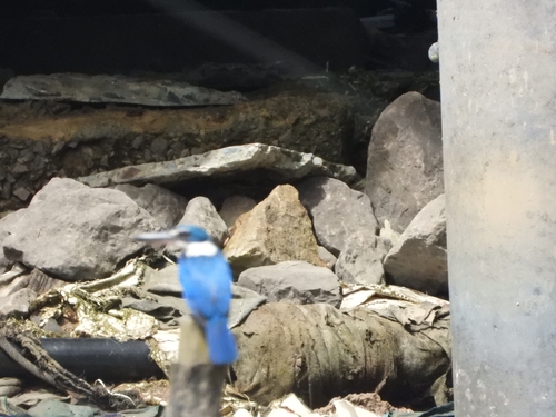
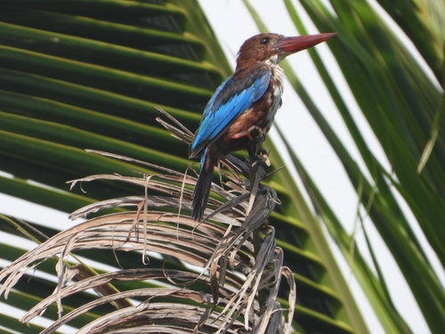
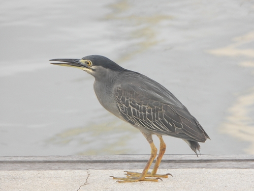
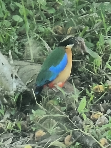
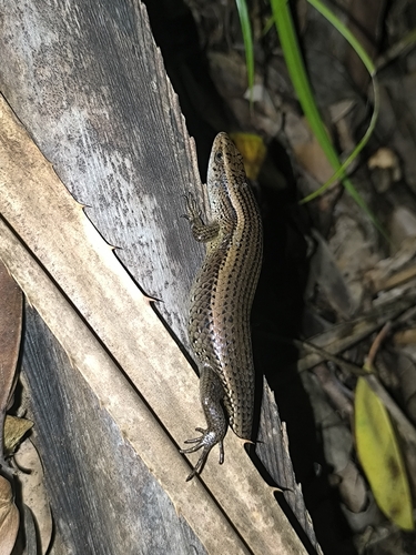
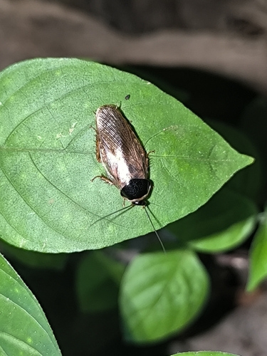
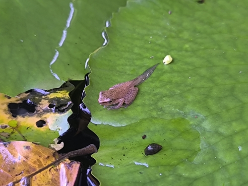
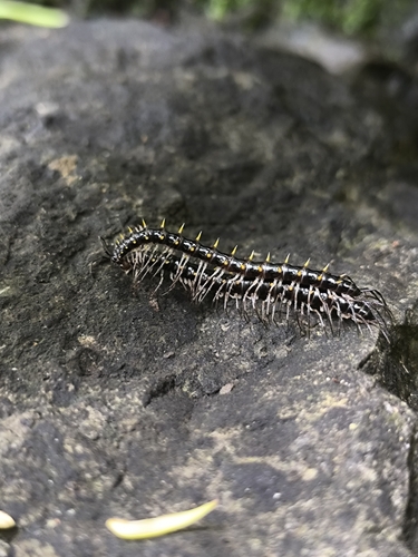
Research-grade observations from iNaturalist (within ~15 mi).
Events
Gallery
Geotagged photos within ~6 miles of Krabi, from Wikimedia Commons contributors.
 0 mi
0 mi 0 mi
0 mi 0.1 mi
 0.1 mi
 0.1 mi
 0.1 mi
 0.1 mi
 0.1 mi
 0.1 mi
 0.1 mi
 0.1 mi
 0.1 mi
 0.1 mi
 0.1 mi
 0.1 mi
 0.1 mi
 0.1 mi
 0.1 mi
 0.1 mi
 0.1 mi
 0.1 mi
 0.1 mi
 0.1 mi
 0.1 mi
Photos via Wikimedia Commons — see each image page for license & attribution.
Sources
- • Wikipedia
- • Open-Meteo (ERA5 reanalysis)
- • Wikimedia Commons
- • Wikidata
- • Open-Meteo Air Quality (CAMS)
- • USGS Earthquake Catalog (global feed)
- • GBIF (Global Biodiversity Information Facility)
- • iNaturalist
- • Open-Meteo / sunrise-sunset.org
- • Wikipedia Pageviews API
- • Open Library