Browse / Thailand / Udon Thani / Ku Kaeo
Ku Kaeo
Udon Thanitown
Air quality index
Demographic figures from National Statistical Office of Thailand. Overview below cites Wikipedia and may reference a different year.
City facts
Overview
Found in Udon Thani, Thailand, Ku Kaeo is classified as a town in public datasets. No reliable population estimate is published for this entry in the open data we rely on. Ku Kaeo maps to 17.176°, 103.157° — squarely within the tropical belt. Based on its tropical position, residents likely encounter warm temperatures throughout the year with pronounced wet and dry seasons. Meteorological summaries report average highs near 87.3°F and lows near 71.8°F, together with about 66 in of annual precipitation (a wet total). Solar-resource estimates put the area at about 1,837 kWh/m² of solar irradiance per year with sunshine for roughly 72% of daylight hours. Additional figures on demographics, climate, geography and points of interest appear in the sections that follow, all drawn from open public datasets.
Summary composed automatically from structured open data on this page. See our Terms for details.
History & geography
Geography
Coordinates & boundaries from the US Census TIGER/Line shapefiles.
Climate
10-year averages from ERA5 reanalysis (Open-Meteo).
Air quality
Current readings from Open-Meteo Air Quality API (Copernicus CAMS European reanalysis).
Walkability
Amenities nearby
Wildlife & biodiversity
Most-observed species
- Asian OpenbillAnastomus oscitans (Boddaert, 1783) · Aves100
- Zebra DoveGeopelia striata (Linnaeus, 1766) · Aves96
- Western SwamphenPorphyrio porphyrio (Linnaeus, 1758) · Aves92
- Brahminy KiteHaliastur indus (Boddaert, 1783) · Aves84
- Black DrongoDicrurus macrocercus Vieillot, 1817 · Aves84
- Red Collared-DoveStreptopelia tranquebarica (Hermann, 1804) · Aves84
- Barn SwallowHirundo rustica Linnaeus, 1758 · Aves81
- Great MynaAcridotheres grandis Moore, 1858 · Aves80
Citizen-science & research observations from the Global Biodiversity Information Facility (GBIF).
Earthquake history
Events from the USGS Earthquake Catalog (global) (FDSN Event Web Service).
Photos
Sights & places nearby
Notable people from here
Nearby places in Udon Thani
- Sangan-ri1990.3 mi away
- Ansan2001.6 mi away · pop. 677,710
- Osan2005.2 mi away · pop. 193,892
- Bogugot-ri2007.4 mi away
- Suwon2007.8 mi away · pop. 1,203,000
- Gunpo2007.8 mi away · pop. 275,571
- Anseong2008.2 mi away · pop. 181,319
- Yonggang-ri2008.3 mi away
- Uiwang2008.6 mi away · pop. 156,763
- Gageum-ri2009.9 mi away
- Mageunpo-ri2010.9 mi away
- Majo-ri2011.4 mi away
Geography & sun
Elevation, sunrise/sunset and daylight from Open-Meteo. Solar climatology from NASA POWER.
Nearby airports
Public attention
Books about this place
Recent natural events nearby
Ground air-quality sensors
Recently spotted species

Research-grade observations from iNaturalist (within ~15 mi).
Events
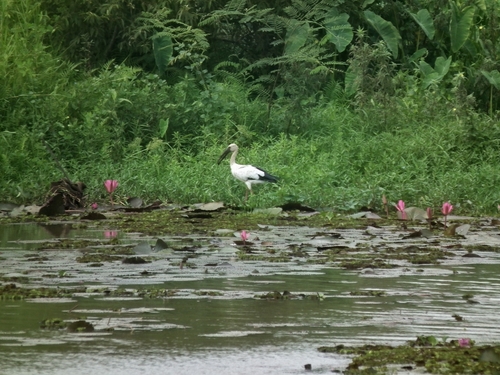
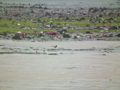
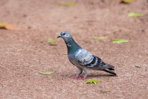
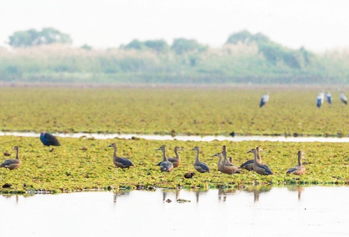
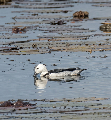
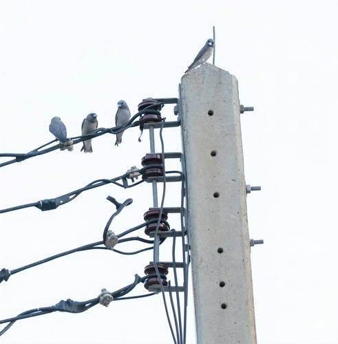
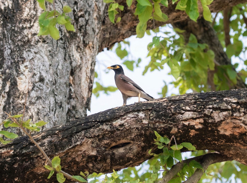
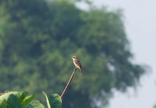
Gallery
Geotagged photos within ~6 miles of Ku Kaeo, from Wikimedia Commons contributors.


.png)
Photos via Wikimedia Commons — see each image page for license & attribution.
Sources
- • Open-Meteo (ERA5 reanalysis)
- • Wikimedia Commons
- • Wikidata
- • Open-Meteo Air Quality (CAMS)
- • USGS Earthquake Catalog (global feed)
- • GBIF (Global Biodiversity Information Facility)
- • iNaturalist
- • Open-Elevation
- • Open-Meteo / sunrise-sunset.org