Browse / Thailand / Nakhon Sawan / Lat Yao
Lat Yao
Nakhon Sawantown
Air quality index
Demographic figures from National Statistical Office of Thailand. Overview below cites Wikipedia and may reference a different year.
City facts
Overview
Lat Yao, a town in Nakhon Sawan, Thailand, forms part of the country's settled landscape. Up-to-date population figures for this locality are not available in the open datasets we monitor. Coordinates of 15.752°, 99.790° situate Lat Yao in the tropical zone of the northern hemisphere. Solar-resource estimates put the area at about 1,825 kWh/m² of solar irradiance per year with sunshine for roughly 71% of daylight hours. Based on its tropical position, residents likely encounter warm temperatures throughout the year with pronounced wet and dry seasons. Continue scrolling for population, climate, environmental and points-of-interest data drawn from public sources.
Summary composed automatically from structured open data on this page. See our Terms for details.
History & geography
Geography
Coordinates & boundaries from the US Census TIGER/Line shapefiles.
Climate
Air quality
Current readings from Open-Meteo Air Quality API (Copernicus CAMS European reanalysis).
Walkability
Amenities nearby
Wildlife & biodiversity
Most-observed species
- Red Collared-DoveStreptopelia tranquebarica (Hermann, 1804) · Aves59
- Zebra DoveGeopelia striata (Linnaeus, 1766) · Aves54
- Asian KoelEudynamys scolopaceus (Linnaeus, 1758) · Aves51
- Great MynaAcridotheres grandis Moore, 1858 · Aves49
- Oriental Magpie-RobinCopsychus saularis (Linnaeus, 1758) · Aves48
- Rock PigeonColumba livia J.F.Gmelin, 1789 · Aves48
- White-throated KingfisherHalcyon smyrnensis (Linnaeus, 1758) · Aves47
- Ayeyarwady BulbulPycnonotus blanfordi Jerdon, 1862 · Aves45
Citizen-science & research observations from the Global Biodiversity Information Facility (GBIF).
Earthquake history
Most recent
- M 4.1 — 2023-06-2824 km NNE of Khanu Woralaksaburi, Thailand
Events from the USGS Earthquake Catalog (global) (FDSN Event Web Service).
Photos
Sights & places nearby
Notable people from here

People born within ~10 km, from Wikidata (CC0). Click any name for their Wikipedia article.
Nearby places in Nakhon Sawan
Geography & sun
Elevation, sunrise/sunset and daylight from Open-Meteo. Solar climatology from NASA POWER.
Nearby airports
Public attention
Books about this place
Recent natural events nearby
Ground air-quality sensors
Recently spotted species

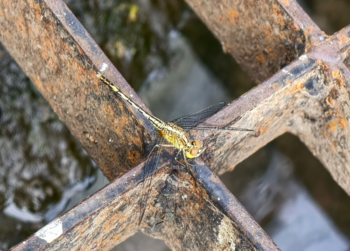
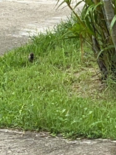
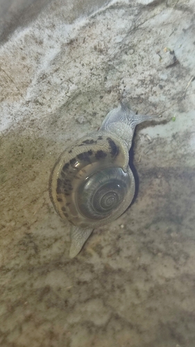
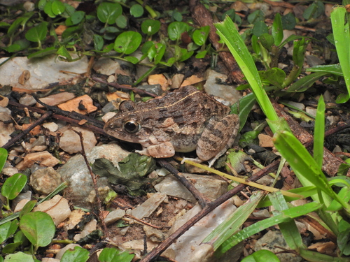
Research-grade observations from iNaturalist (within ~15 mi).
Events
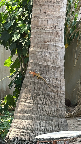
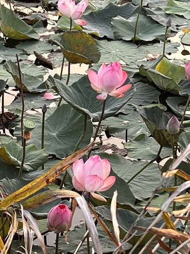
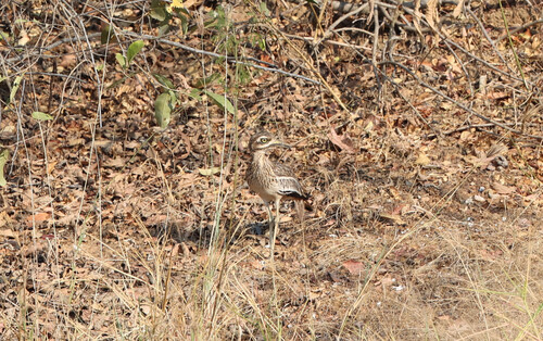
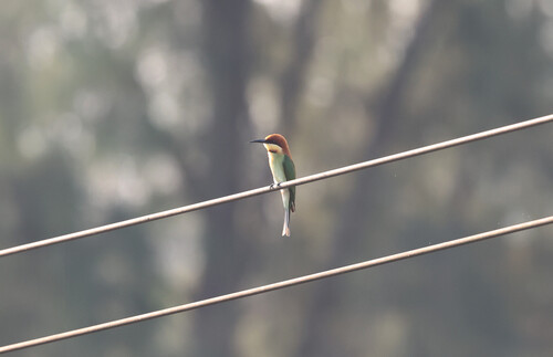
Gallery
Geotagged photos within ~6 miles of Lat Yao, from Wikimedia Commons contributors.


Photos via Wikimedia Commons — see each image page for license & attribution.
Sources
- • Wikimedia Commons
- • Wikidata
- • Open-Meteo Air Quality (CAMS)
- • USGS Earthquake Catalog (global feed)
- • GBIF (Global Biodiversity Information Facility)
- • iNaturalist
- • Open-Elevation
- • Open-Meteo / sunrise-sunset.org