Browse / Thailand / Chanthaburi / Makham
Makham
Chanthaburitown

Makham
Demographic figures from National Statistical Office of Thailand. Overview below cites Wikipedia and may reference a different year.
City facts
Overview
Makham is a district (amphoe) in the centre of Chanthaburi province, eastern Thailand.
Read more on WikipediaHistory & geography
Geography
Coordinates & boundaries from the US Census TIGER/Line shapefiles.
Climate
10-year averages from ERA5 reanalysis (Open-Meteo).
Air quality
Walkability
Amenities nearby
Wildlife & biodiversity
Most-observed species
- White-nest SwiftletAerodramus fuciphagus (Thunberg, 1812) · Aves118
- Brahminy KiteHaliastur indus (Boddaert, 1783) · Aves110
- Common MynaAcridotheres tristis (Linnaeus, 1766) · Aves85
- Great MynaAcridotheres grandis Moore, 1858 · Aves84
- Spotted doveSpilopelia chinensis (Scopoli, 1786) · Aves71
- Asian KoelEudynamys scolopaceus (Linnaeus, 1758) · Aves63
- Greater Racket-tailed DrongoDicrurus paradiseus (Linnaeus, 1766) · Aves61
- Yellow-vented BulbulPycnonotus goiavier (Scopoli, 1786) · Aves59
Citizen-science & research observations from the Global Biodiversity Information Facility (GBIF).
Earthquake history
Events from the USGS Earthquake Catalog (global) (FDSN Event Web Service).
Photos
Sights & places nearby
Notable people from here
Nearby places in Chanthaburi
Geography & sun
Elevation, sunrise/sunset and daylight from Open-Meteo. Solar climatology from NASA POWER.
Nearby airports
Public attention
Pageview totals from the Wikimedia Pageviews API.
Books about this place
Recent natural events nearby
Ground air-quality sensors
Recently spotted species
Research-grade observations from iNaturalist (within ~15 mi).
Events
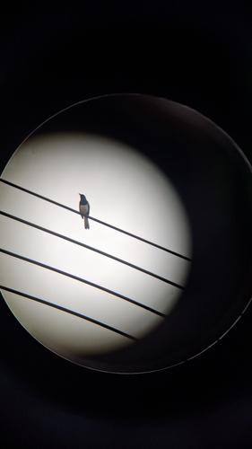
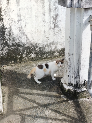
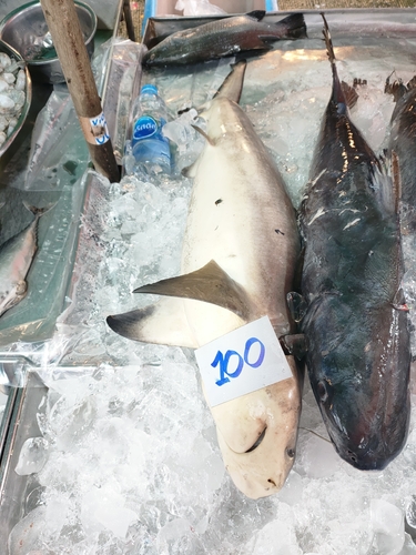
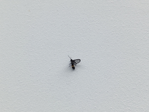
Gallery
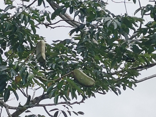
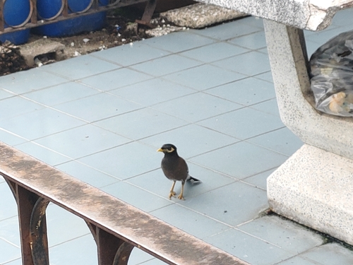
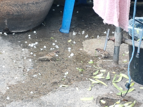
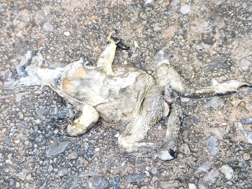
Geotagged photos within ~6 miles of Makham, from Wikimedia Commons contributors.

.jpg)
.jpg)


.jpg)


.jpg)


Photos via Wikimedia Commons — see each image page for license & attribution.
Sources
- • Wikipedia
- • Open-Meteo (ERA5 reanalysis)
- • Wikimedia Commons
- • Wikidata
- • USGS Earthquake Catalog (global feed)
- • GBIF (Global Biodiversity Information Facility)
- • iNaturalist
- • Open-Meteo / sunrise-sunset.org
- • Wikipedia Pageviews API